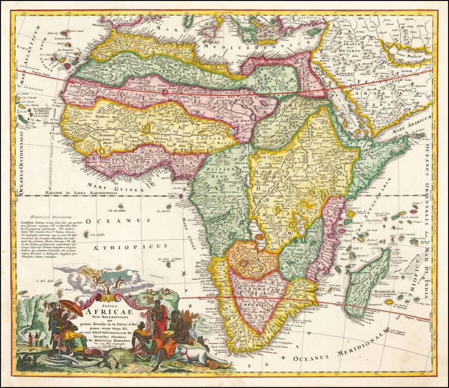
Striking example of Homann's first map of Africa. The map includes an extensive note on the accuracy of the Nile, the first map to have such a note. A highly innacurate map, both in shape and nomenclature. Shows both real and fictitious St. Helena...
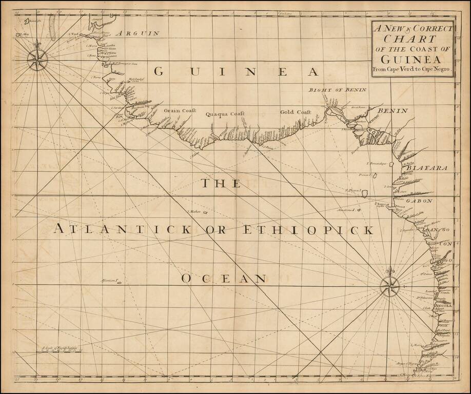
English Chart of the African Coast from an Influential Atlas Scarce sea chart of the west coast of Africa from Senegal to Angola, from the Atlas Maritimus & Commercialis . . . , published in London in 1728. Atlas Maritimus et Commercialis This...
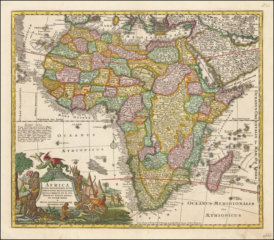
Nice example of Seutter's map of Africa. The map is packed full of geographical and other information, some of which is based upon reality. Marvelous combination of up to date information, myth and legend. A highly detailed and richly engraved map....
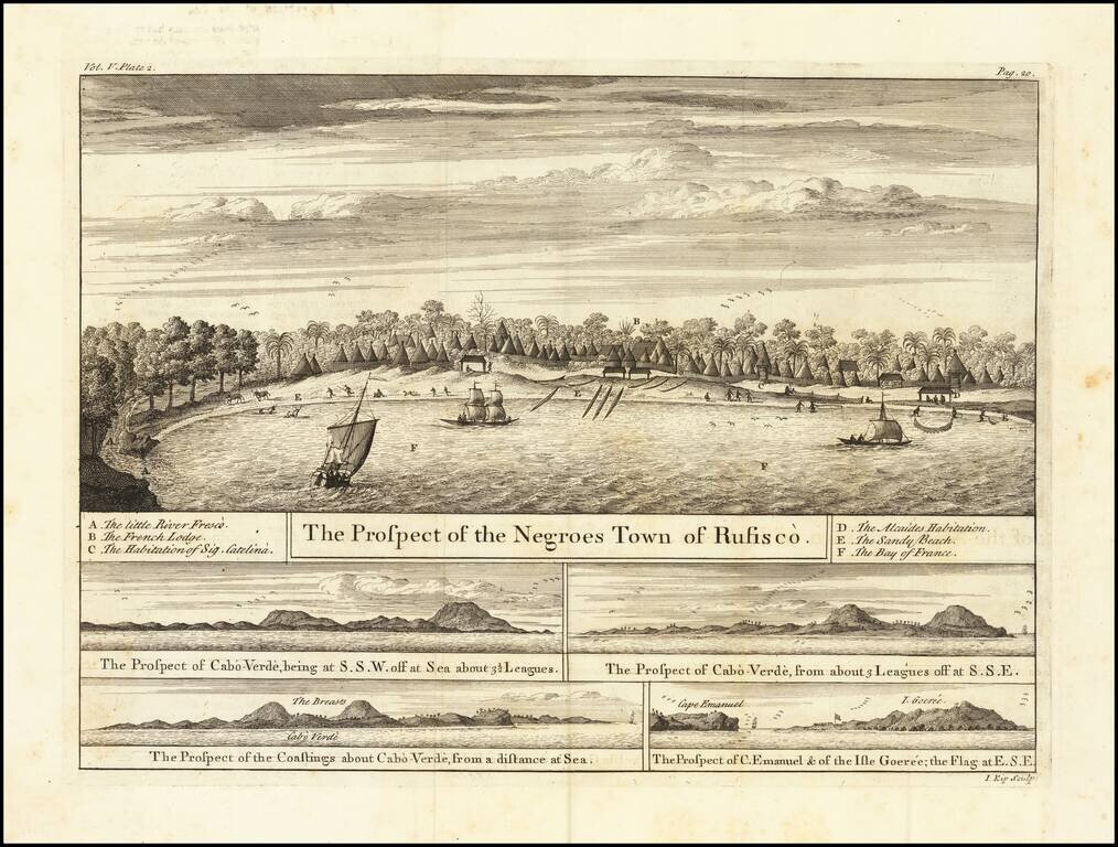
Views of the Senegal Coast From the Churchills’ Celebrated Voyage Collection A fine set of views showing Rufisco, today Rufisque, in Senegal, as well as Cape Verde and Gorée. They featured in the voyage account of Jean Barbot in the Churchill...
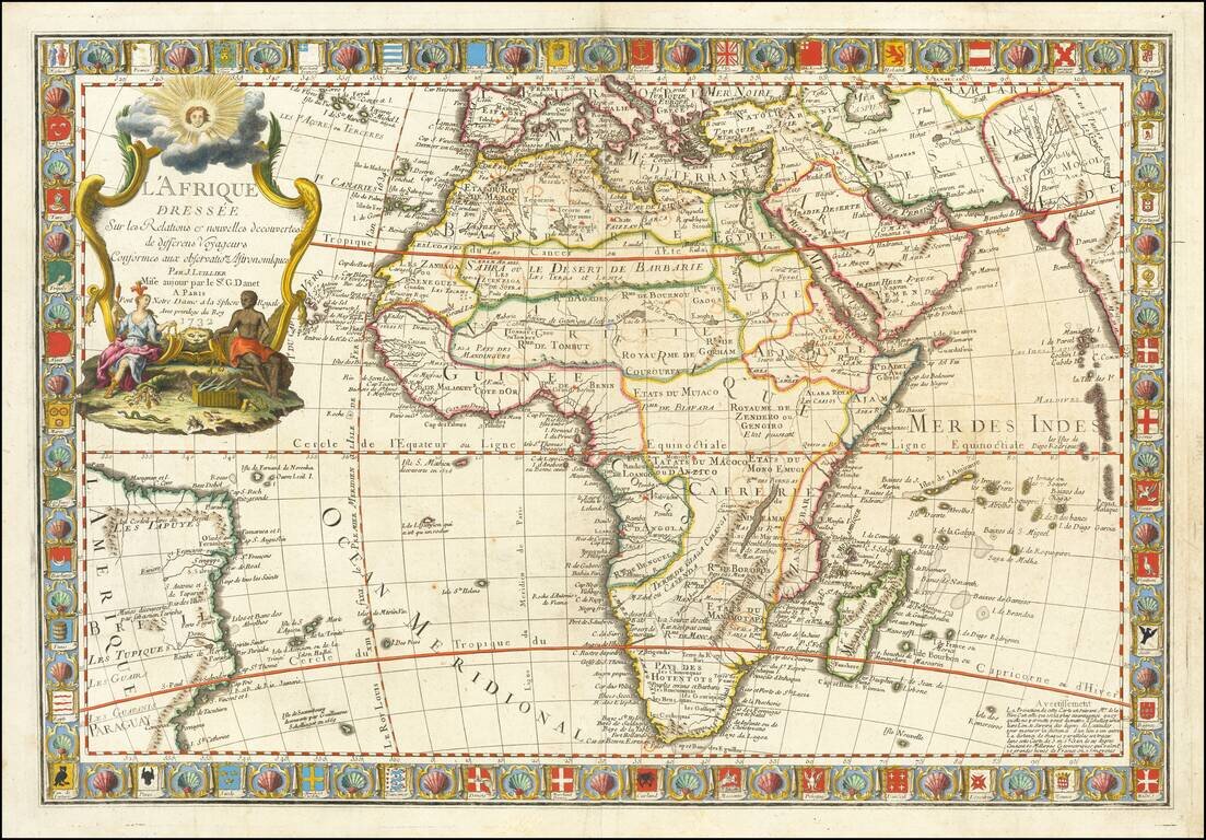
Fine Map of Africa with Distinctive, Decorative Border Striking example of the 1732 edition of this ornate map of Africa, published by Guillaume Danet in Paris. A defining feature of the map is the border, which is filled with dozens of maritime...
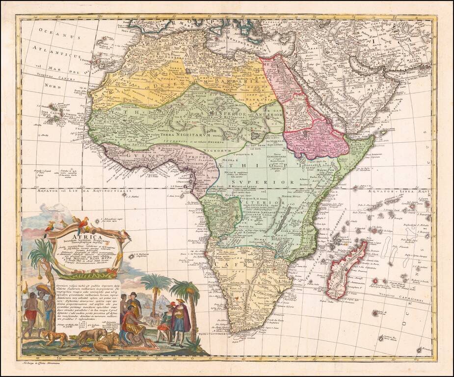
Nice example of the Homann family's second map of Africa, based upon the work of De L'Isle. The map is dominated by a beautiful cartouche showing Europeans, Africans, and various African animals with views of Cape Town, South Africa.
Rare map of Africa, published in Paris by Pierre Bourgoin. The map illustrates the limited European knowledge of the interior of Africa.
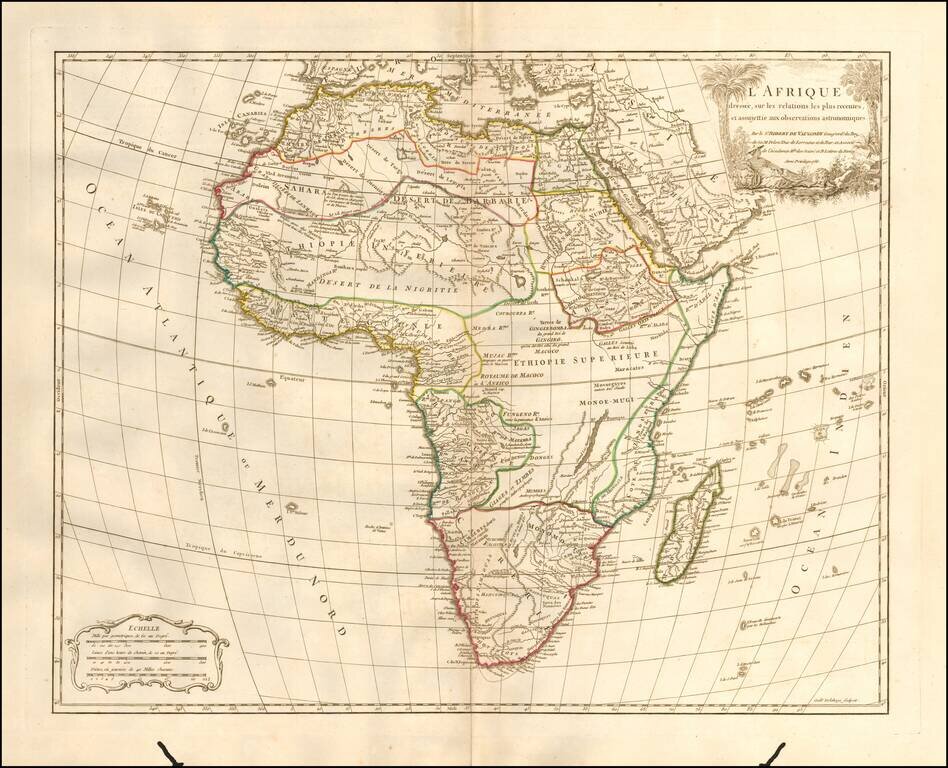
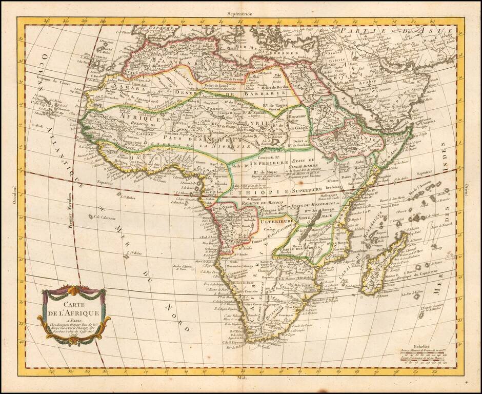
Detailed map of Africa, published in Paris by De Vaugondy in his Atlas Universal. The map reflects the limited knowledge among Europeans in the interior parts of the continent.
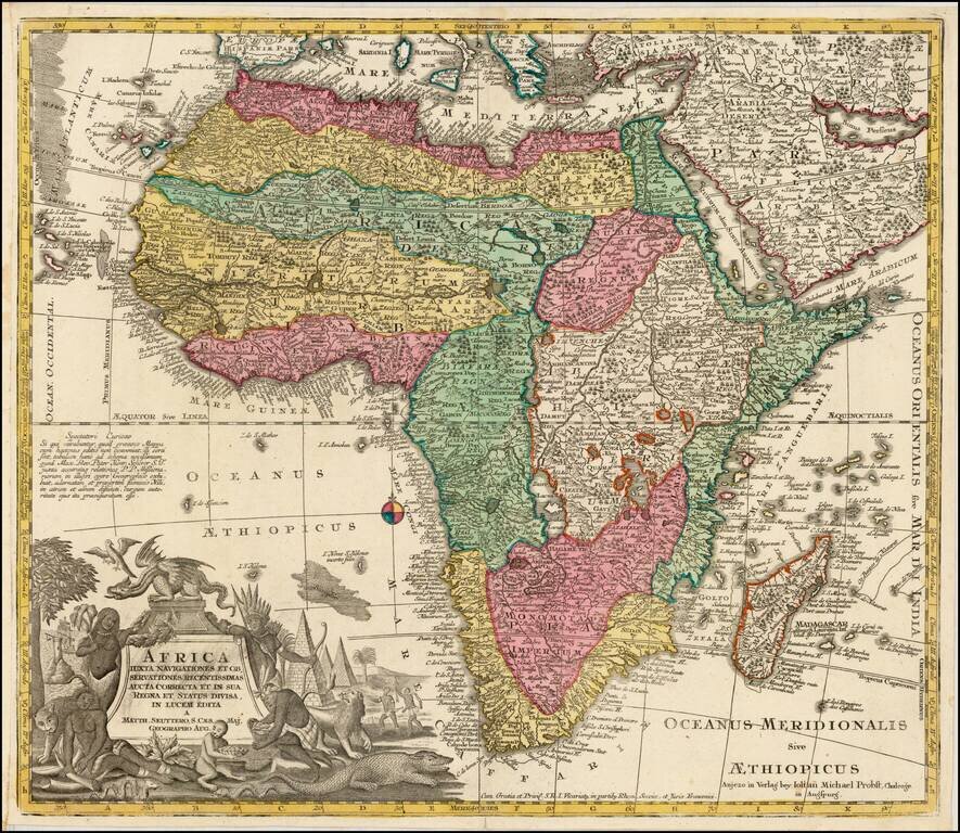
Fine dark impression of the rare Johann Michael Probst edition of Matthaus Seutter's map of Africa. Marvelous combination of up to date information, myth and legend. A highly detailed and richly engraved map. Seutter's maps are among the most...
Attractive map of Africa, hand colored by regions. Illustrates the then limited knowledge of the interior of Africa, even at the end of the 18th Century.
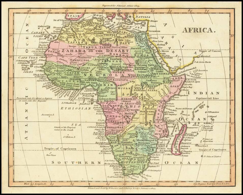
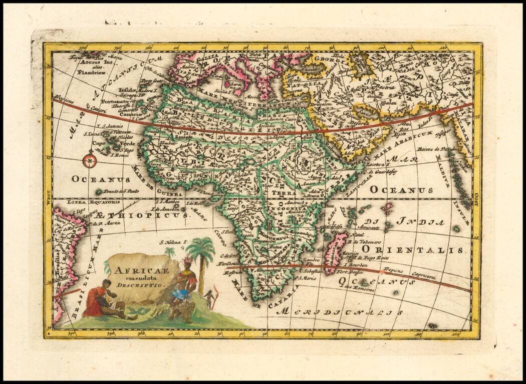
Attractive small map of Africa, from Adam's Atlas (title at the top), published in 1803.
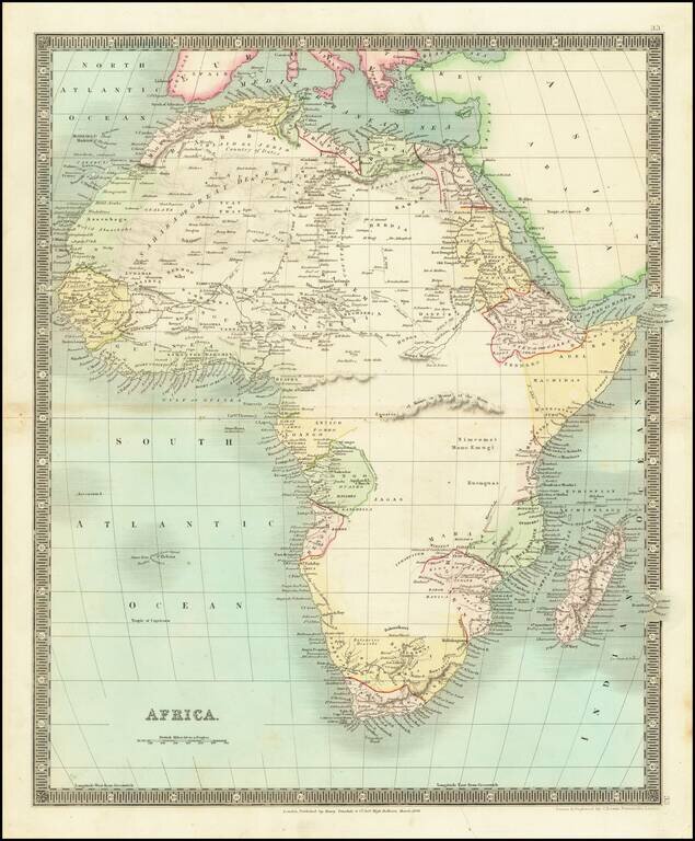
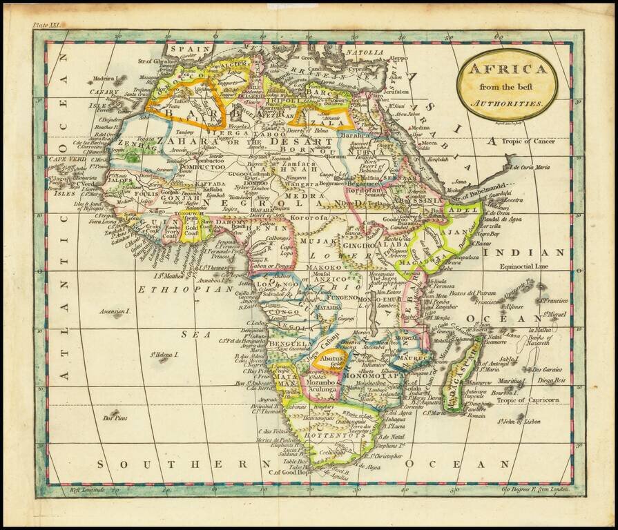
Scarce map of the African Continent, published by Teesdale in London. The map shows a knowledge of the coastal regions and some interior knowledge, but most of the interior is still largely unexplored.
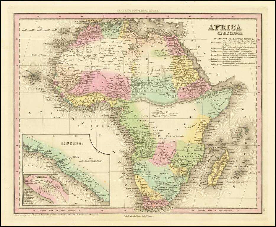
Nice example of Tanner's map of Africa, hand colored by colonies, with a key naming the various colonial powers. Large inset of Liberia and town plan of Monrovia. Tanner's New Universal Atlas became the standard work in the Industry until Tanner sold...
![[Africa] (2 maps - Ancient & Modern)](/map/small/70579.jpg)
Interesting pair of maps of Africa, showing the ancient and modern features. The pair of maps was prepared by Arrowsmith in an atlas intended to provide a comparison of ancient and modern regions.
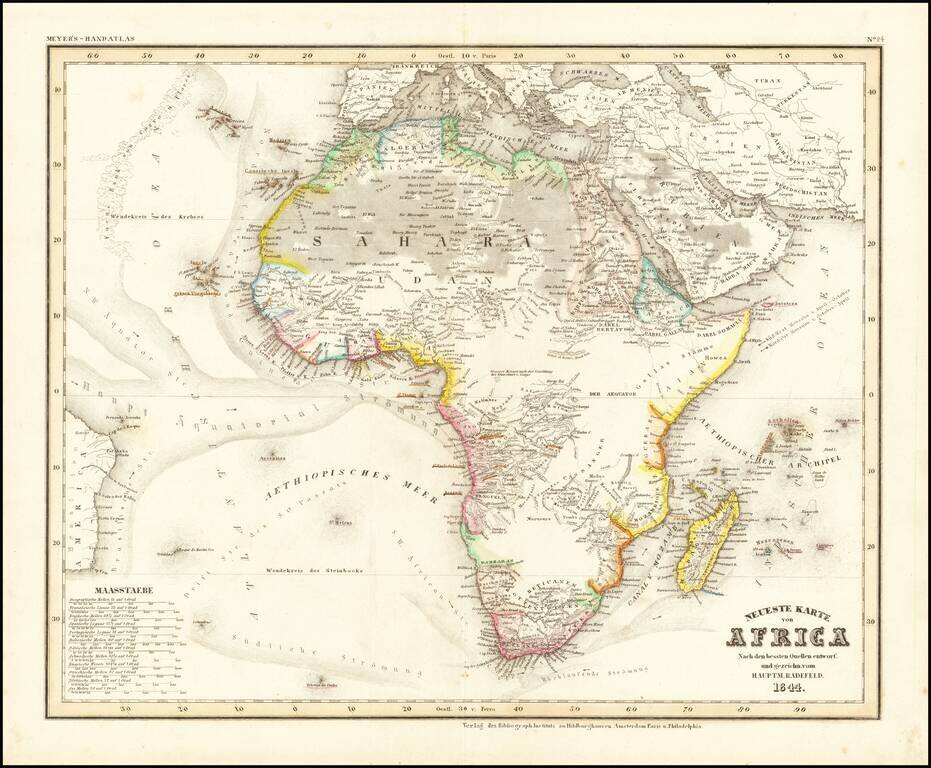
Detailed map of Africa, from Meyer's Hand Atlas. Provides a fine representation of the extent of the known regions of Africa (mostly along the coastlines), with fast expanses of unknown and little known regions.