Map size in jpg-format: 7.68908MiB
Click to open in high resolution (open in new tab).
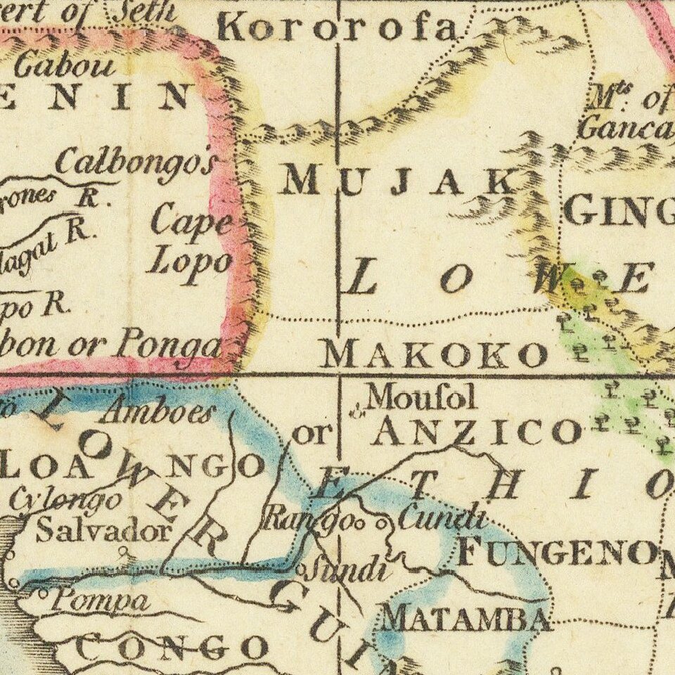
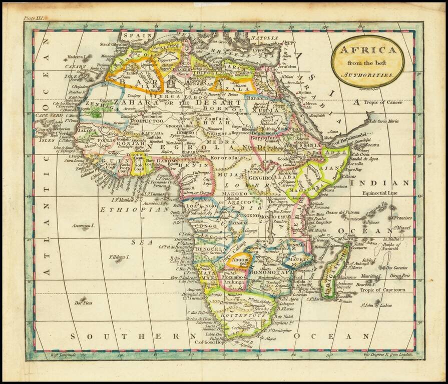
Attractive map of Africa, hand colored by regions.
Illustrates the then limited knowledge of the interior of Africa, even at the end of the 18th Century.
If you are a student, write to us in telegram: @antiquemaps and indicate what material you need and for what work you need a map in high detail. We are ready to provide material on special terms. For students only!
![[Eastern Hemisphere Globe Gores] (Nova et integra universi Orbis descriptio)](/map/small/54480.jpg)