logo

1834. Africa

  • Africa

Map size in jpg-format: 24.3718MiB

Download "Africa", in high resolution.

Africa information:

Year of creation: 
Resolution size (pixels): 
 8854x10714 px
Disk Size: 
 24.3718MiB
Number of pages: 
 1
Place: 
 London
Author: 

Print information. Print size (Width x height in inches):
Printing at 72 dpi 
  122.97 х 148.81
Printing at 150 dpi 
 59.03 х 71.43
Printing at 300 dpi 
 29.51 х 35.71

An example of detailing the file of this map of in a printable high-resolution:

Click to open in high resolution (open in new tab).
Attention! this is just the central piece (central area 960x960 px) of the map file!
This is an example, so that you can see and study the level of detail of a given map. The entire Map will be fully available after payment!

Africa

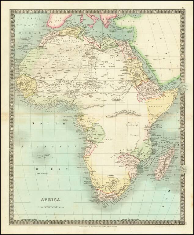
Scarce map of the African Continent, published by Teesdale in London.

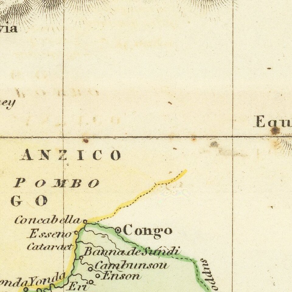
The map shows a knowledge of the coastal regions and some interior knowledge, but most of the interior is still largely unexplored.


Special conditions for students!

If you are a student, write to us in telegram: @antiquemaps and indicate what material you need and for what work you need a map in high detail. We are ready to provide material on special terms. For students only!

Item information:

Year of creation:
Size:
8854x10714 px
Disk:
24.3718MiB
Number of pages:
1
Place:
London
Author:
Henry Teesdale.
$14.99

Related item