
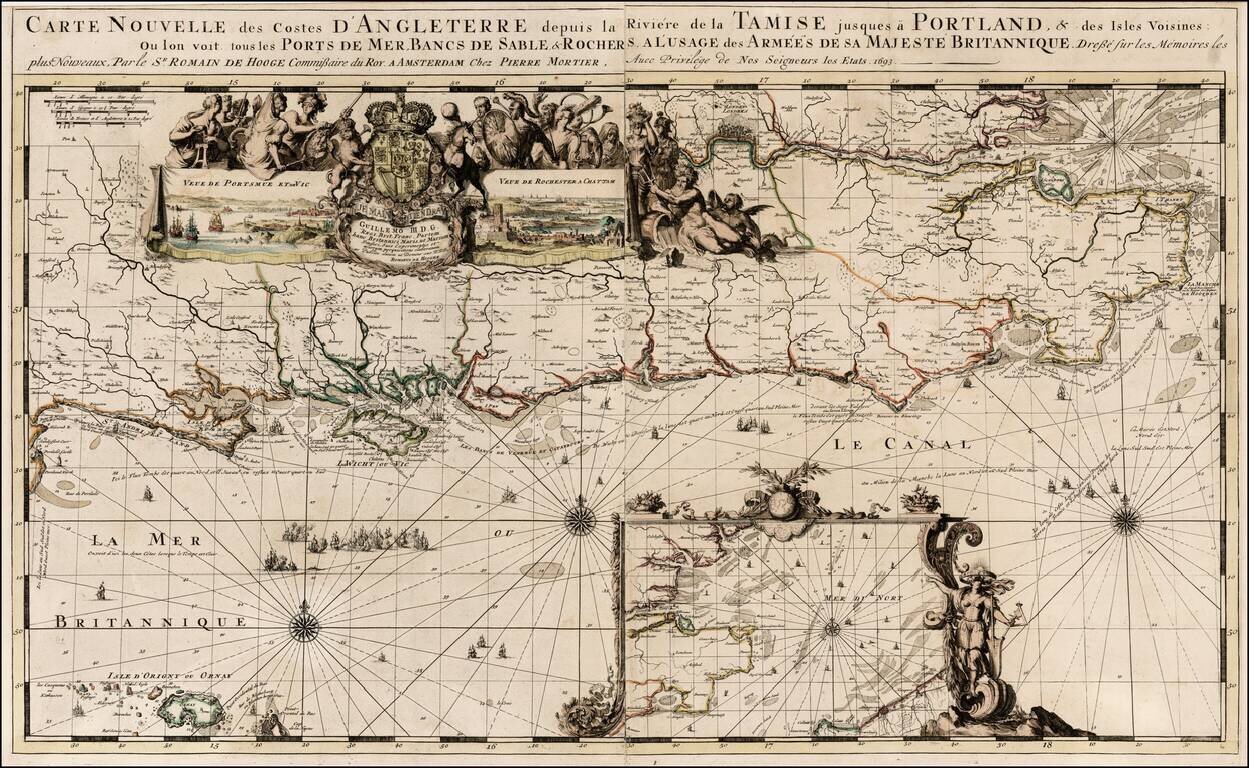
Nice old color example of Romain De Hooghe's regional chart of the southern coast of England, including the Thames and London. Includes large views of Portsmouth and Chatham. The chart is richly embellished with rhumblines, compass roses, sailing...
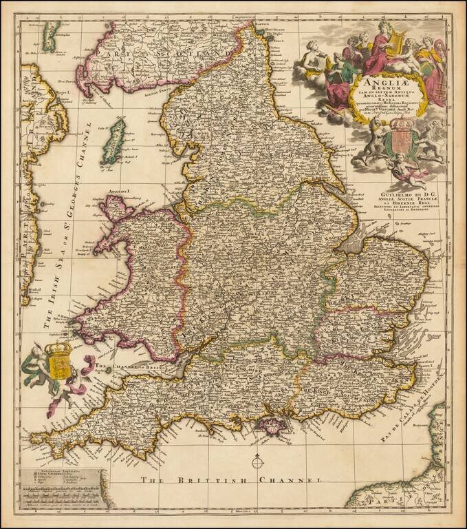
Nicolaes Visscher II's highly decorative map of England and Wales, with elaborate cartouche. Very nice example in old outline hand color. Includes a dedication to William III just below the title.
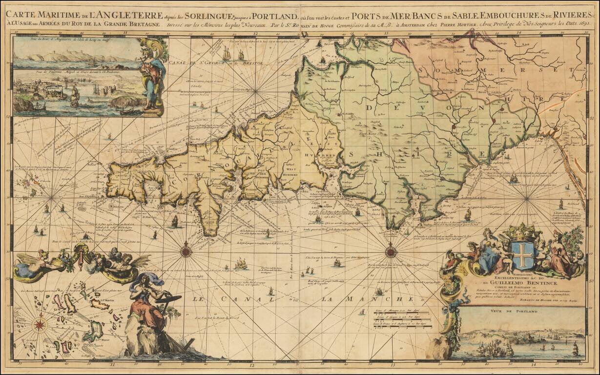
Striking large format map of the southwestern part of England, including Cornwall, Devon and part of Somerset, engraved by Romain De Hooge. The map includes a large view of Portland and two smaller views in the top left corner, an inset of the islands...
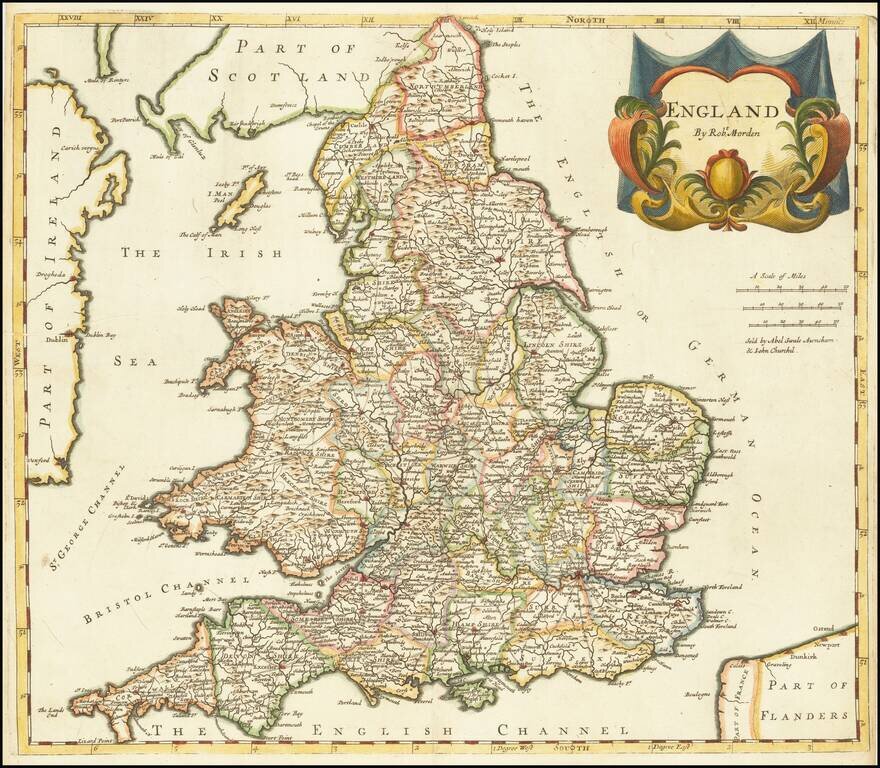
Decorative map of England, published in London by Robert Morden for Camden's Brittania, perhaps the most enduring of all works on Britain. Shows towns, counties, roads, rivers, lakes, and many other details.
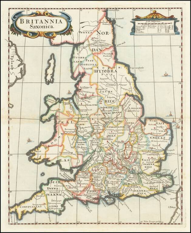
Attractive map of Saxon England, engraved by John Sturt for Robert Morden. The map illustrates Saxon England and Wales, showing the kingdoms and counties that existed at the time.
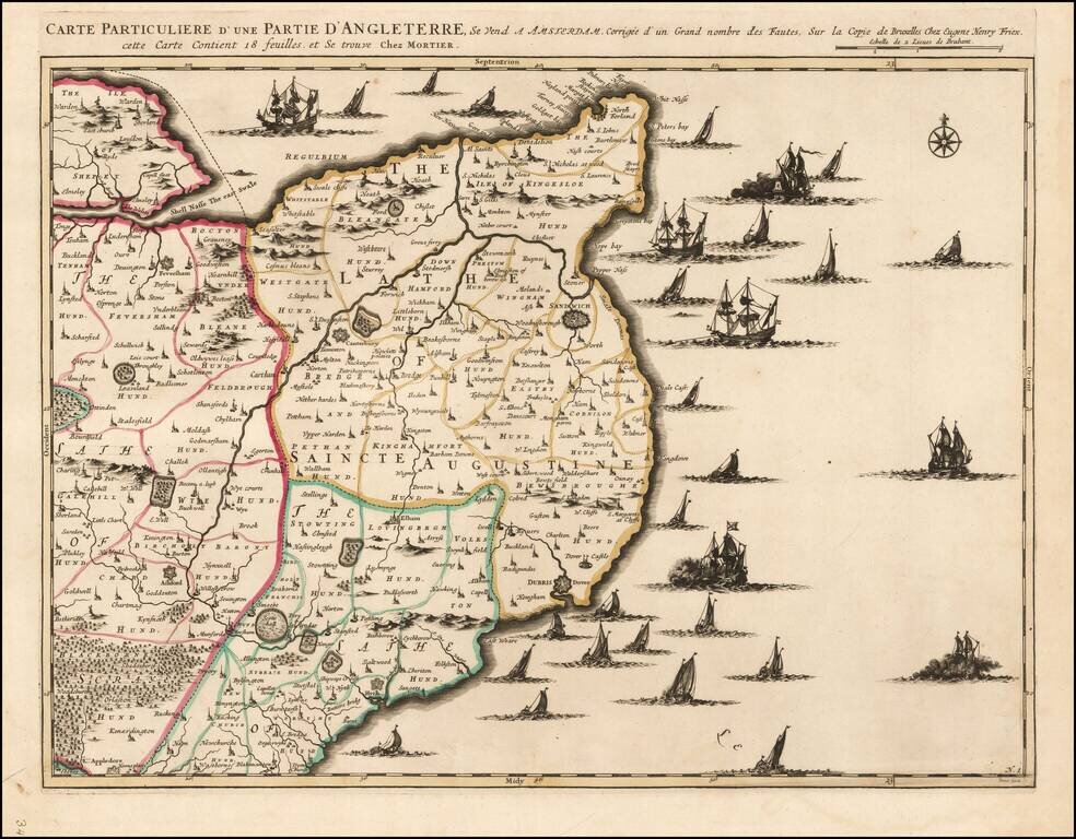
Fine example of Mortier's regional map of the British Coastline from the Isle of Shepy to the region just south of Dover. Larger cities shown include Canterbury, Margae, Dover, Folkstone and Ashford. The map is drawn from the map of Henry Frix.
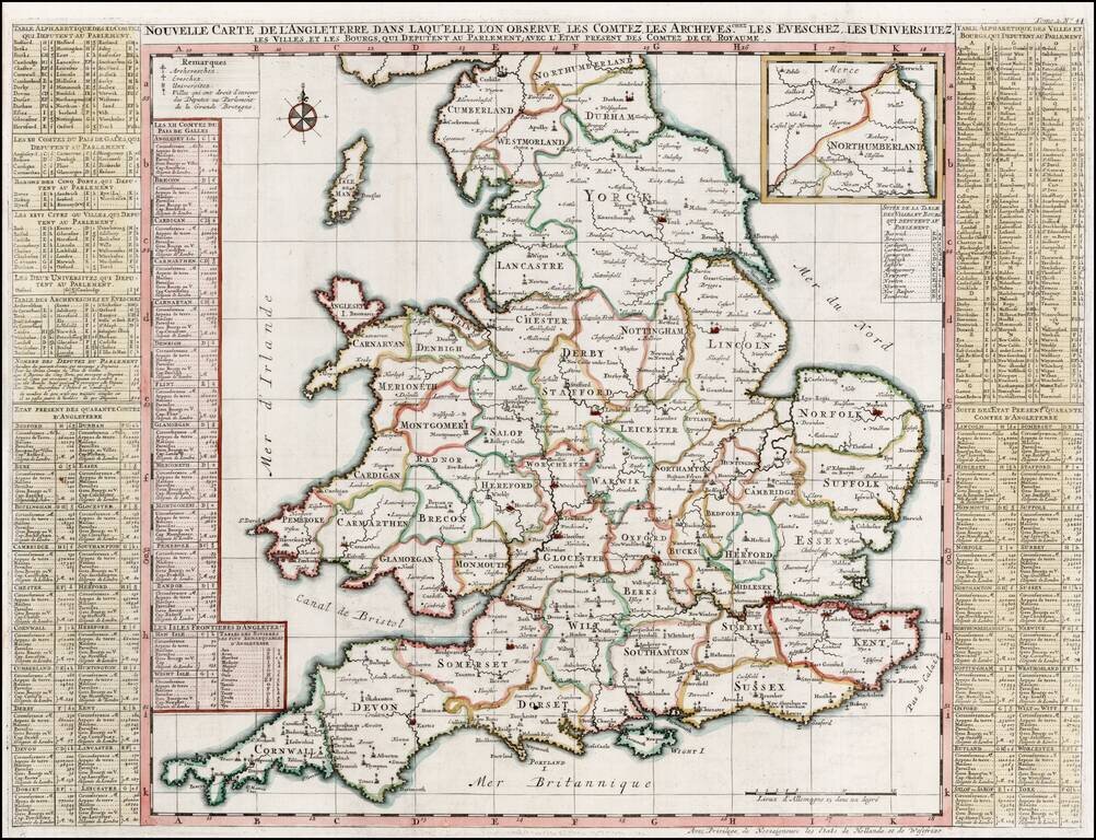
Striking large format map of England, colored by Counties. Shows the major Cities, Churches, Universities and other points of significance within England. From Chatelain's 7 volume Atlas Historique, one of the great compilations of the early 18th...
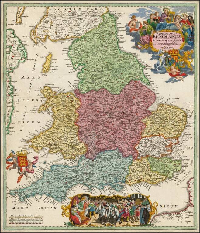
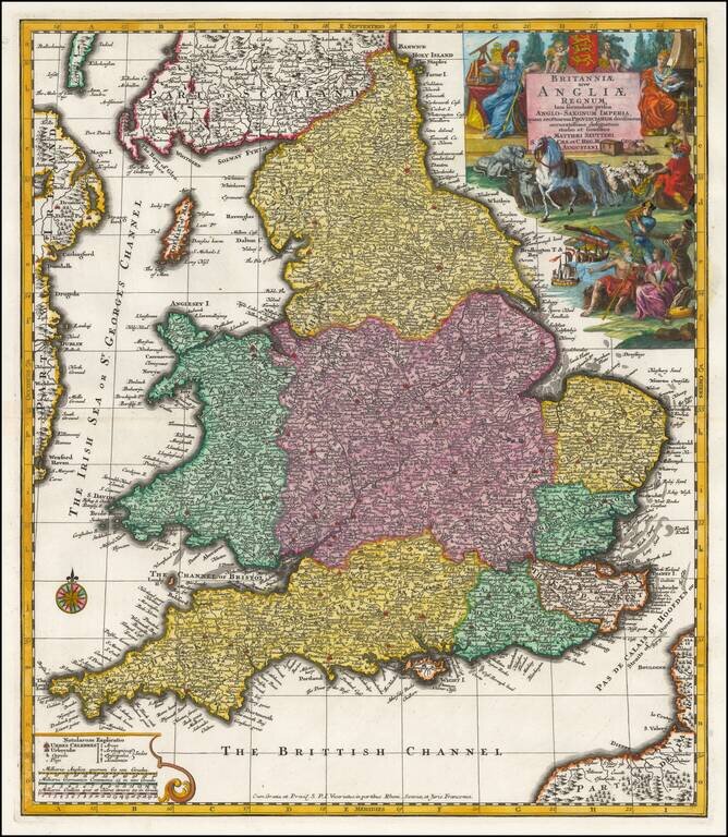
Decorative map of England, title cartouche, two coats of arms and decorative vignette. Includes a scene of scene with the Royal Court presiding. Large allegorical cartouche and two coats of arms.
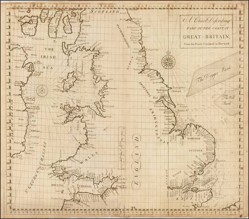
Fine Sea Chart of Great Britain from an Influential Atlas Scarce sea chart of the coast of England and Wales, from the Atlas Maritimus & Commercialis, published in London in 1728. To the west is a coast of Ireland, while to the east are the Dogger...
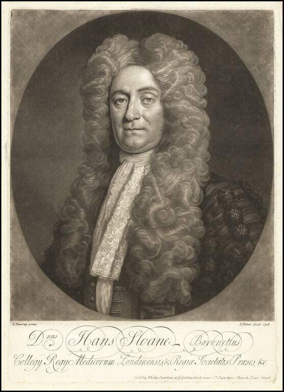
The Greatest English Collector of the 18th Century Rare Mezzotint of Sir Hans Sloan, executed by John Faber in 1728, from a half length portrait of Sloane painted by Thomas Murray. Sir Hans Sloane Sir Hans Sloane was the first Baronet PRS FRS (1660...
![[Manuscript Map of Gibraltar]](/map/small/66061.jpg)
Original Early-18th Century Manuscript Map of Gibraltar. Pen, ink, and wash hand-drawn map of Gibraltar, probably done by a French or Spanish mapmaker around the time of the 1727 Spanish siege. The map is unusual in its configuration and does not...
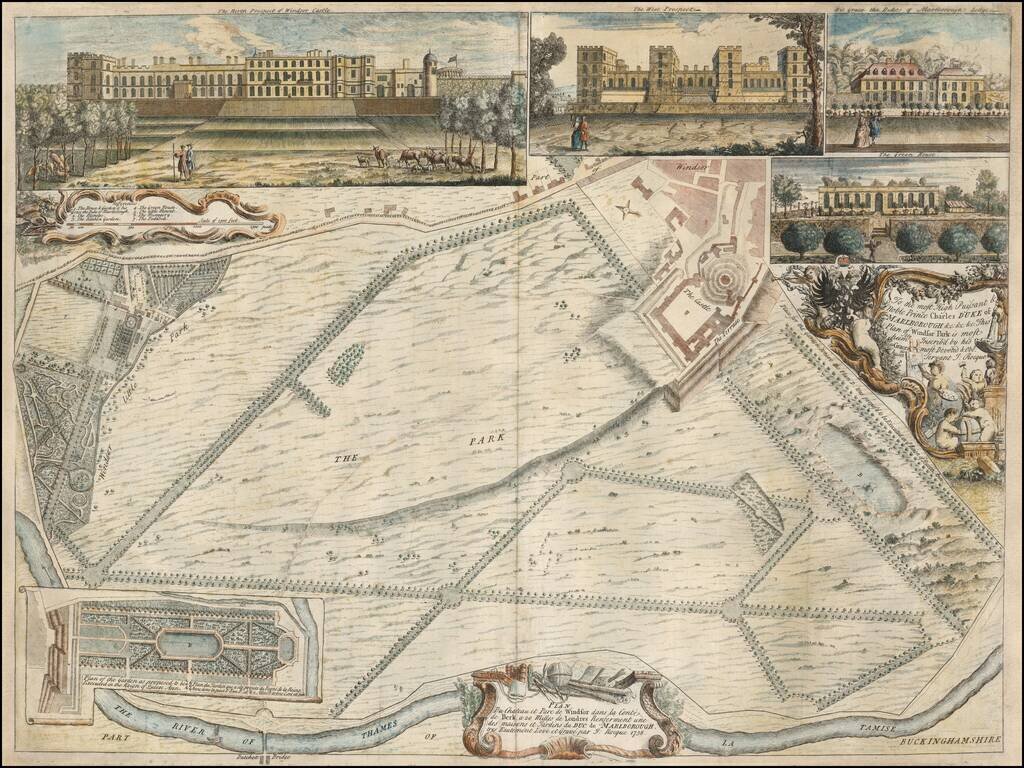
Rare early plan of Windsor Park, engraved by John Rocque. The Plan is oriented with west at the top and includes inset views of the Green House, The Duke of Marlborough's Lodge, and two views of Windsor Castle. Published in 1738, this is among...
Seutter's decorative engraved map of England. Incudes a coat of arms and an elaborate allegorical vignette.
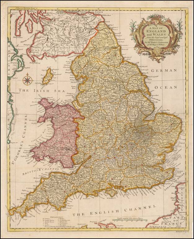
Fine mid-18th century map of England and Wales. The map provides a fine detailed snapshot ot the counties, towns, roads and other features.
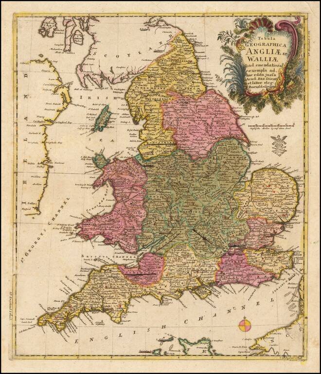
A nice example of this scarce map of England and Wales, published by the famous mathematician Leonard Von Euler. Decorative cartouce and privilege stamp below the cartouche. The map is quite scarce on the market.
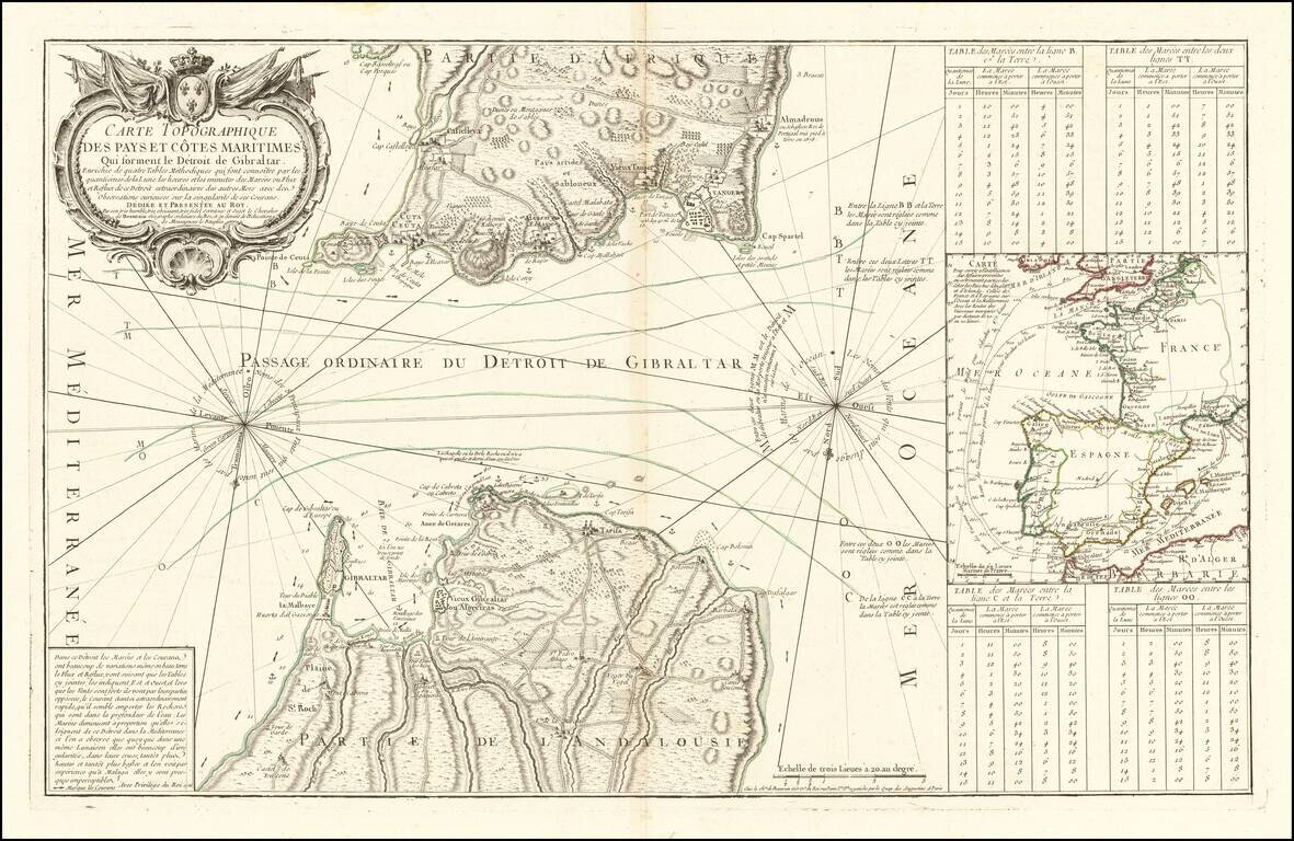
Rare scientific sea chart, oriented with south at the top, showing the entrance to the Mediterranean through the Straits of Gibraltar. The chart illustrates in great detail the fortifications on both the Iberian and African coastlines, as well as the...