
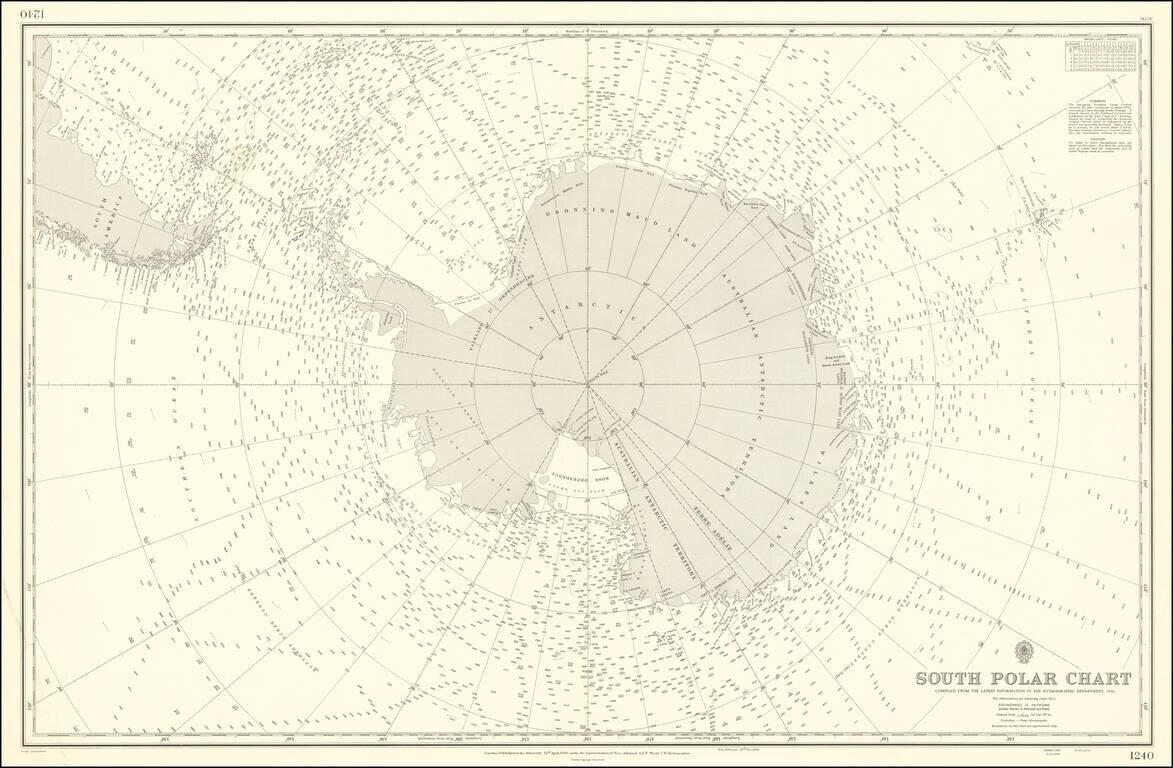
Rare and highly detailed map of the South Polar regions, published by the British Admiralty. The map incorporates information from the 1950 survey of the Antarctic Peninsula and the The Norwegian - British - Swedish Expedition (NBSAE) of 1949-52, the...