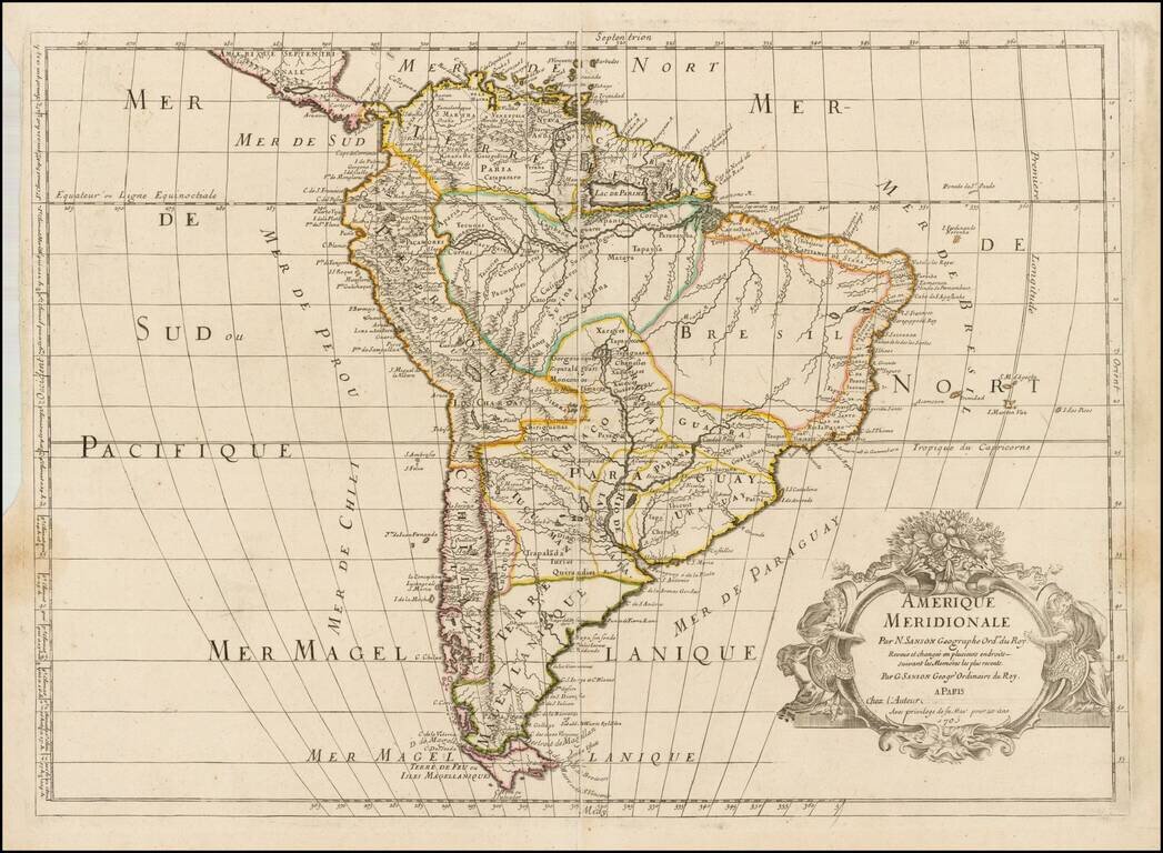
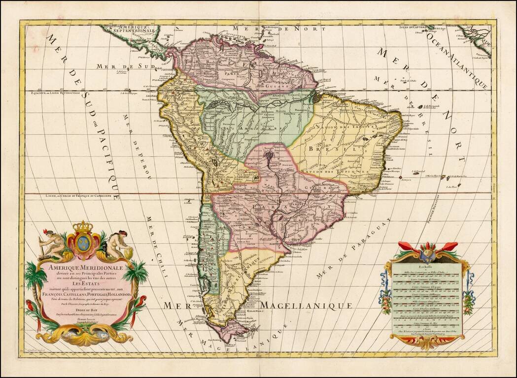
Rare 1705 map of South America, published by Guillaume Sanson. The map is a very late version of Pierre Mariette's Amerique Meridionale, which normally appears with a date of 1669, although it may have been issued as early as 1667. Mariette in turn,...
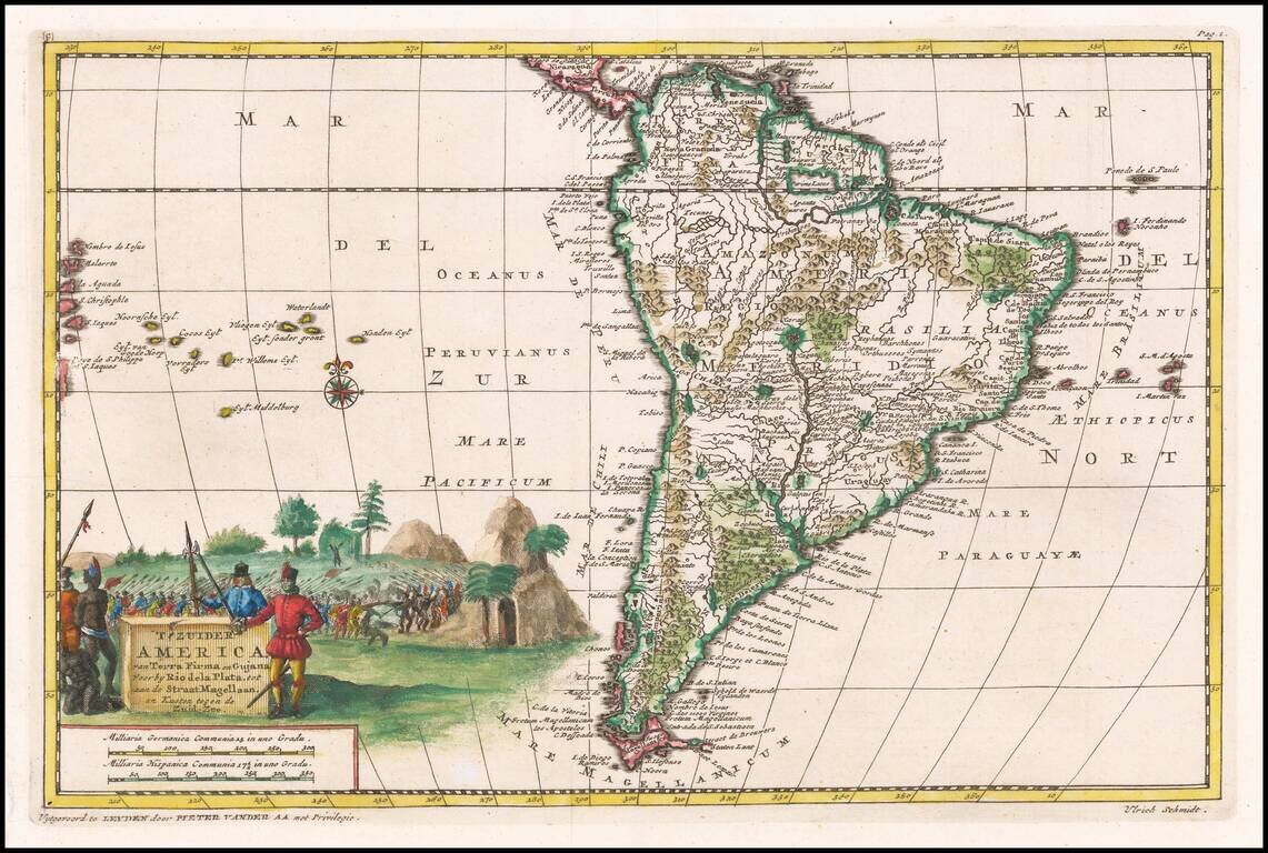
Detailed regional map of South America, illustrating the voyage of Ulrich Schmidt von Straubingen to the Rio La Plata, detailing the Spanish conquests in the region from 1534 to 1554. This work was not translated into Dutch until Vander Aa and was not...
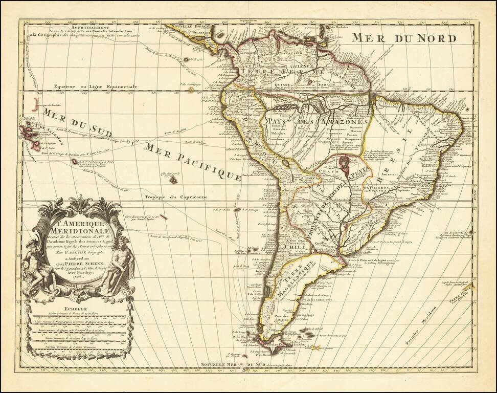
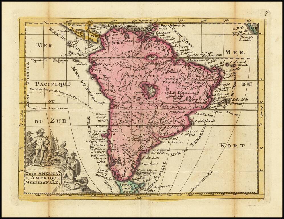
Decorative detailed map of South America, published in Amsterdam by Peter Schenk. The map is based upon the work of Guillaume De L'Isle, a French mapmaker to the King of France who was the most important and influential mapmaker of the early 18th...
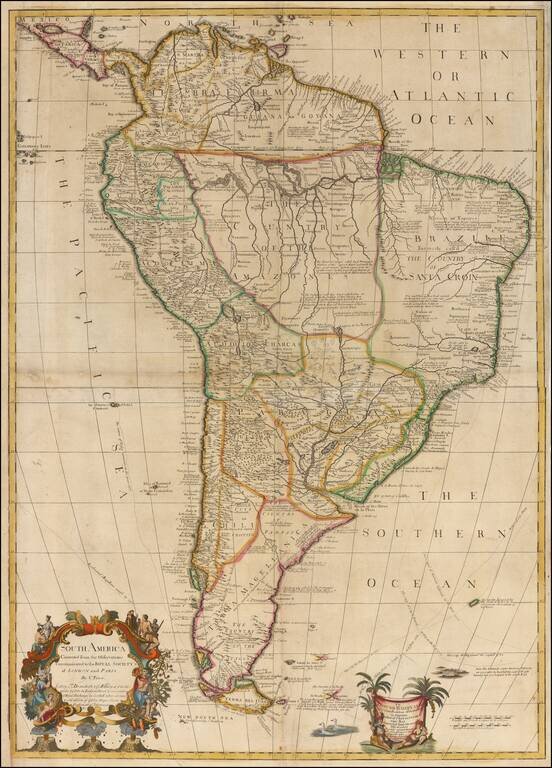
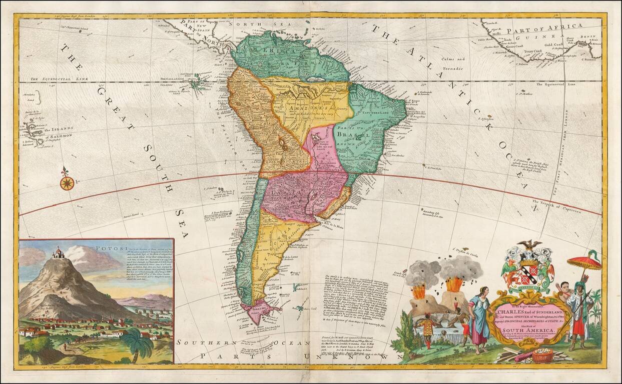
Animals of the Middle Species -- Half Bird, Half Fish! Rare 2-sheet wall map of South America, dedicated by Charles Price to Edmund Halley LLD Savilian Professor of Geometry in Oxford, and Fellow of the Royal Society, Corrected from his own...
Fine Map of South America by Jaillot Handsome large-format map of South America. This is a revised state of Jaillot’s map of the continent, which was originally based on the earlier maps of Nicholas Sanson. Jaillot’s map is well-framed, showing...
Interesting early 18th Century map of Columbia, Venezuela, Ecuador, and part of Peru, Brazil and Argentina (then La Plata).
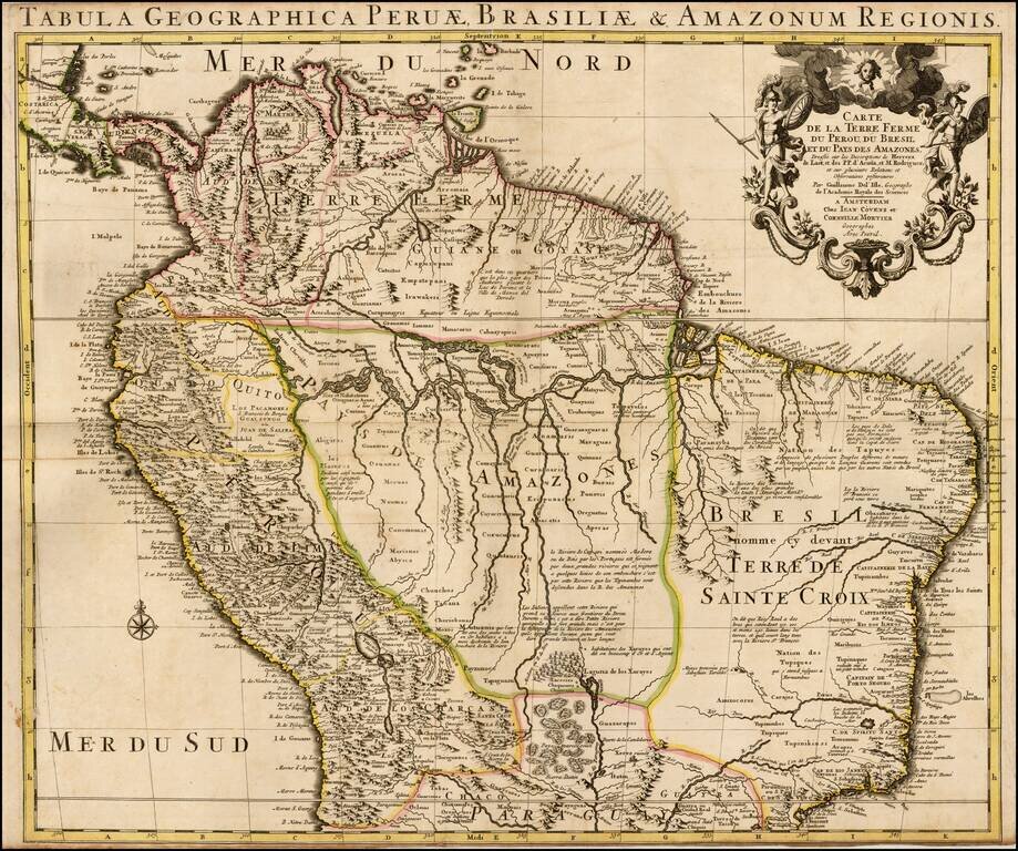
Nice old color example of Coven's & Mortier's edition of De L'Isle's maps of the northern part of South America. The map sjows Colombia, Venezuela, Peru, Ecuador, Brazil, Guiana and parts of Bolivia, Chile, Paraguay and Argentina. De L'Isle was...
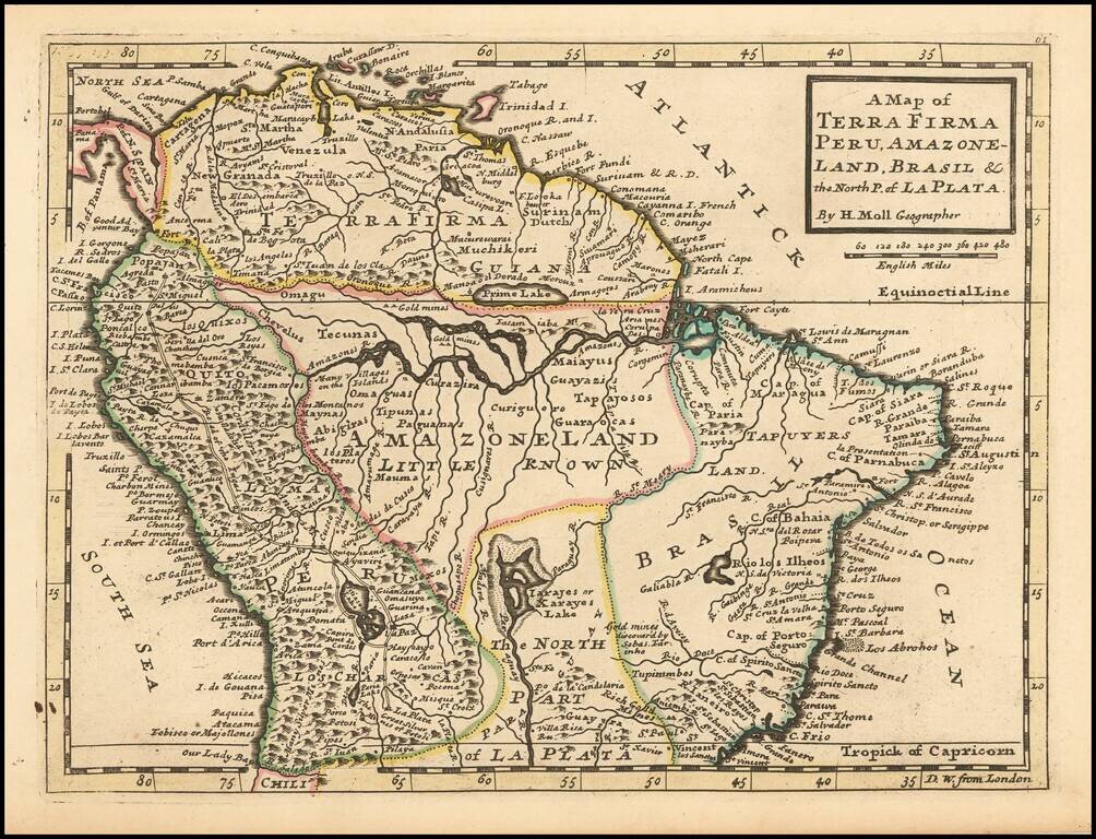
A Large English Map of Colonial South America Striking large format map of South America, published by Herman Moll, one of the leading English map makers in the first half of the 18th Century. The map includes a large inset of San Luis Potosi,...
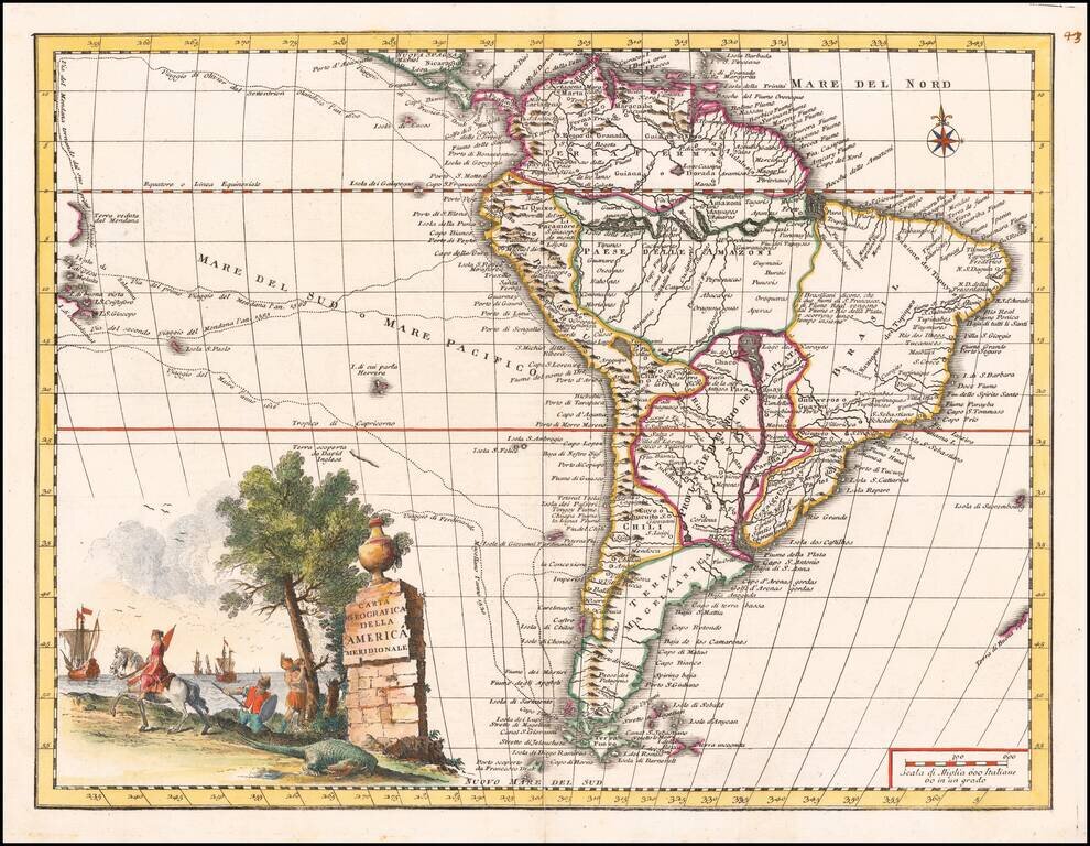
Striking map of South America, published in Venice by Albrizzi, based upon Guillaume De L'Isle's map. Includes the routes of early explorers in the Pacific, including Magellan, Drake, Le Maire, Mendana, Van Noort and others, Fine depiction of the...
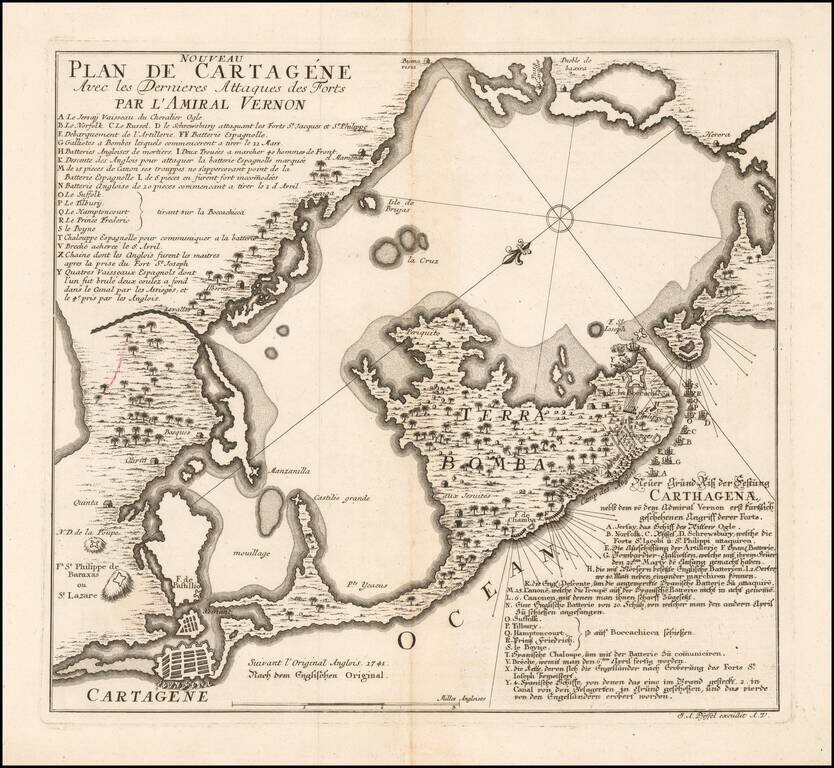
Rare German plan of the siege of Cartagena (Cartagena de Indias), by the Vice-Admiral Vernon , in 1741, probably drawn after Harding and Toms chart, and published the same year. The map states that it is based upon an English original of 1741 and has...
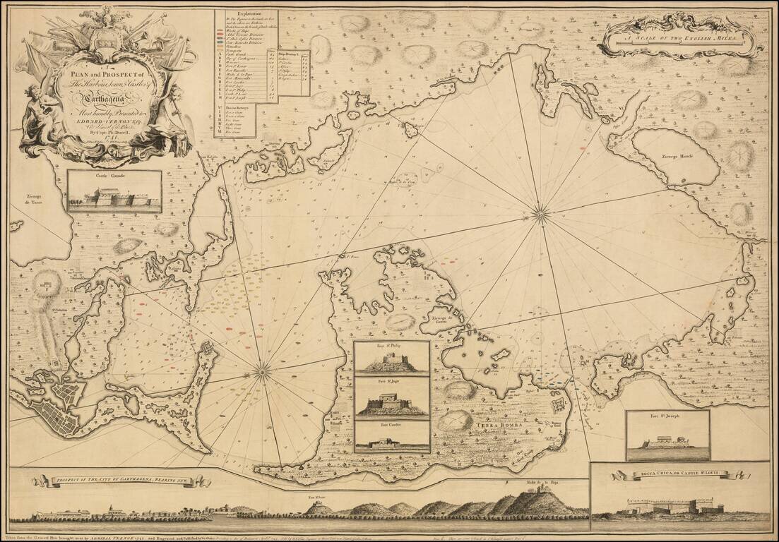
An Impressive and Rare Separately Issued Map of the Battle of Cartagena in 1741, showing Vernon's Fleet in Action in the Harbor. Engraved map of Cartagena and environs with touches of original hand-coloring. The present map is an exceptional example...
Rare Dutch Map of South America Unusual map of South America Rarity This is the first time we have ever seen the map.
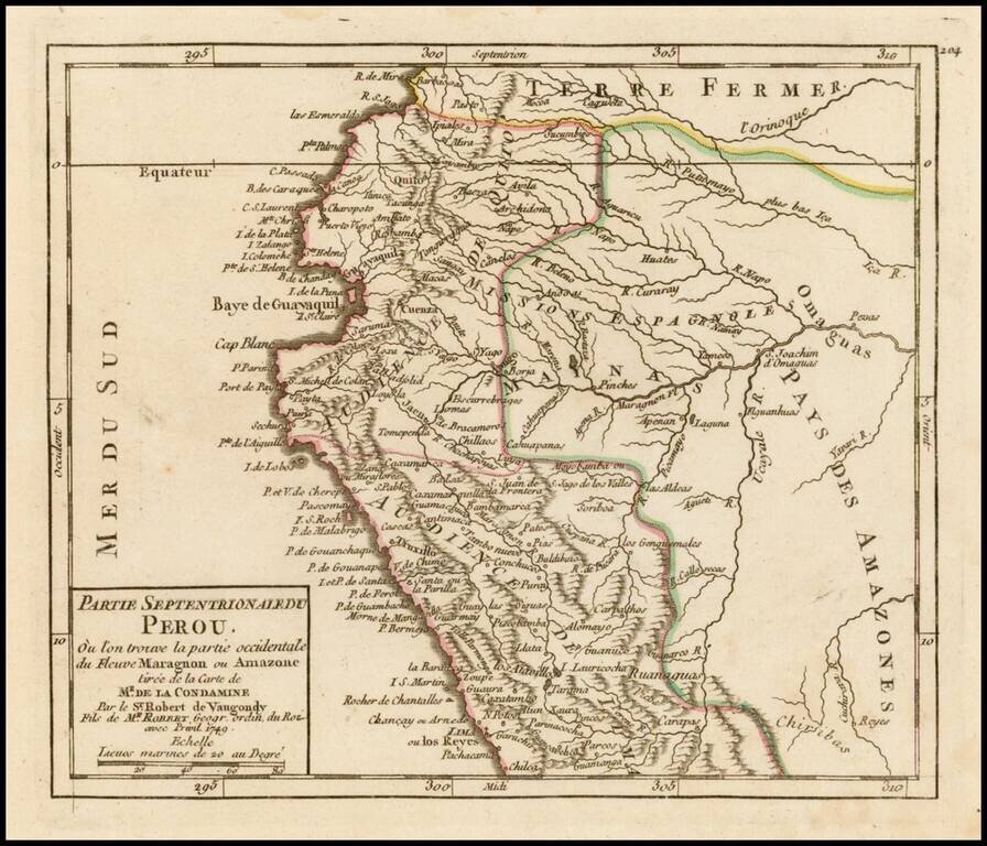
Striking example of De Vaugondy's map of the northern part of Peru from his Atlas Portatif, Universel et Militaire. . . , first published in Paris in 1748.
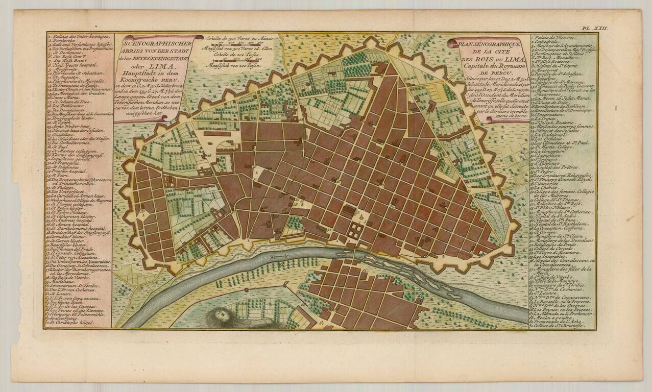
Nice example of Ulloa's plan of Lima, capital of Peru, from the 1751 German edition of the official account of Ulloa's expedition. Antonio de Ulloa (1716-1795) was a Spanish general, explorer, author, astronomer, colonial administrator and the first...
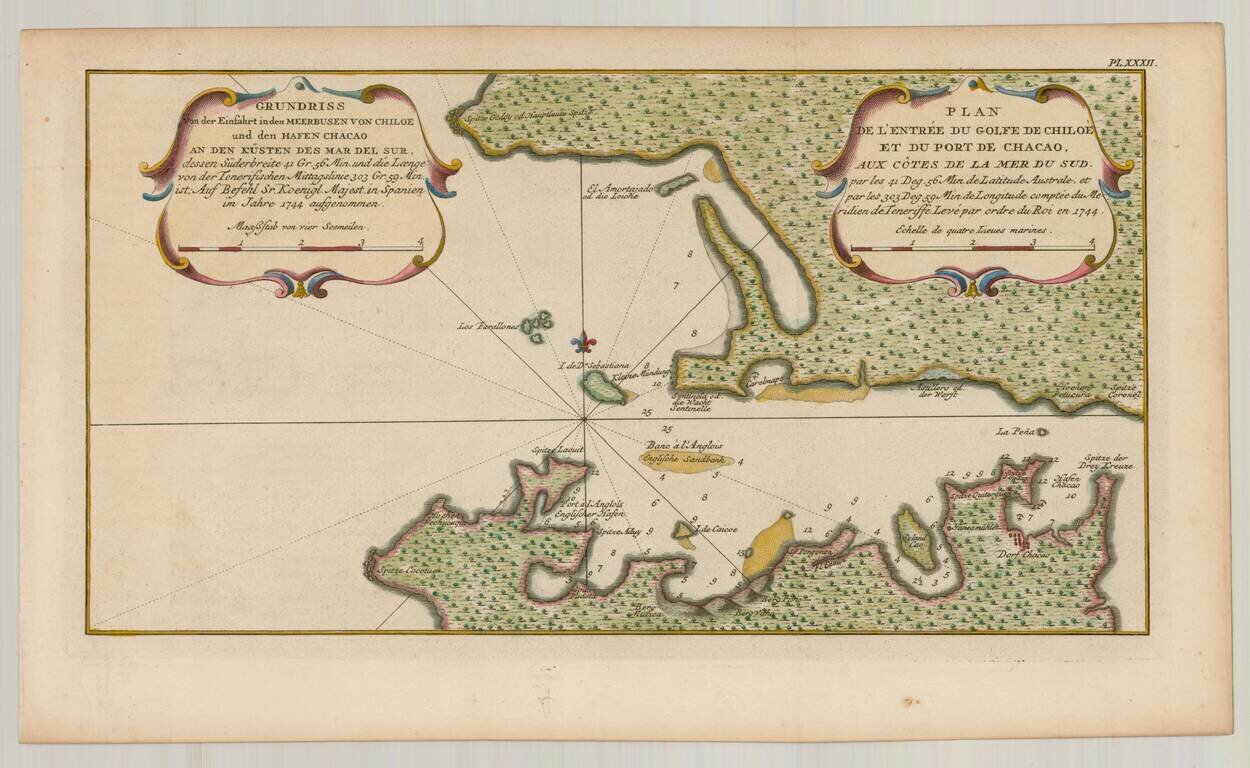
Detailed plan of the Harbor at Chiloe, from the 1751 German edition of the official account of Ulloa's expedition. Antonio de Ulloa (1716-1795) was a Spanish general, explorer, author, astronomer, colonial administrator and the first Spanish governor...
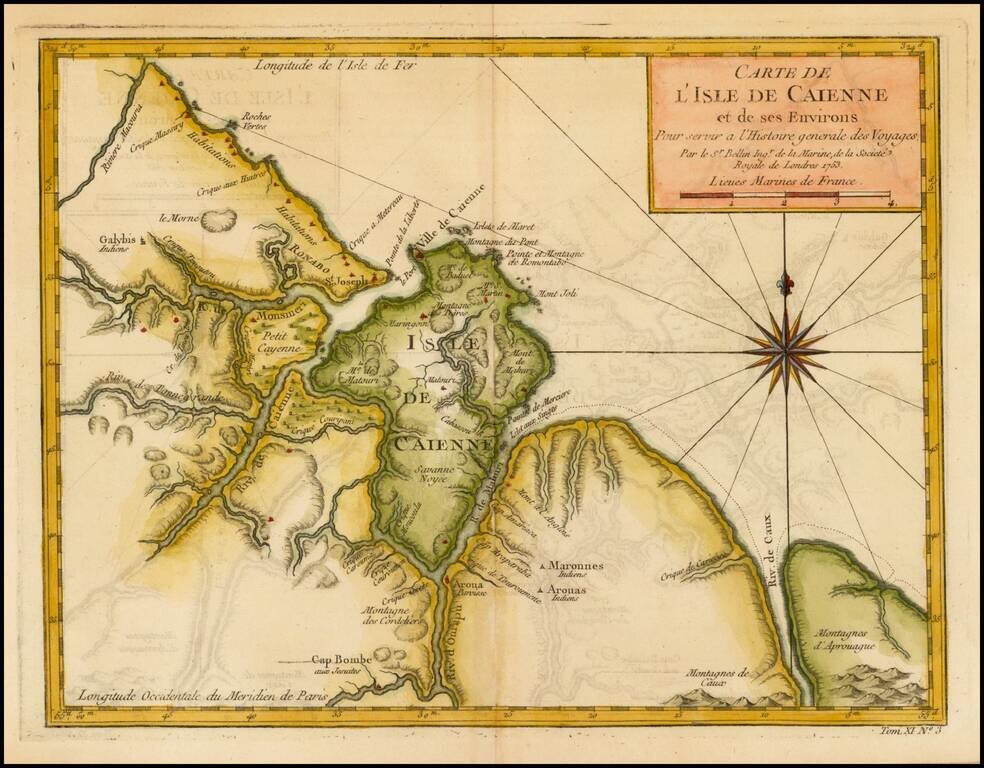
Detailed and well engraved sea chart of French Guiana and the island of Cayenne. The map was pubilshed in 1763 by Bellin (1703-72), a prolific cartographer assigned the Ministry of the French Navy. The chart shows soundings, anchorage's, channels,...