
![Thietmarsiae, Holsaticae Regionis Partis Typus Auctore Petro Boeckel [with] Prussia Descriptio ante aliquot annos ab Henrico Zellio ab coque D. Ioanni Clur. civi Gedanesi Ded:](/map/small/45904.jpg)
Ortelius’ Maps of Prussia and Holstein, from the First Modern Atlas Fine maps of Prussia and Holstein, printed on the same plate, that featured in Ortelius’ famous and groundbreaking atlas Theatrum Orbis Terrarum. The map on the right shows...
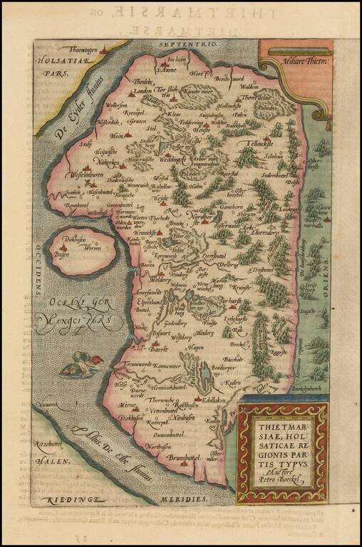
A nice full color example of Ortelius's regional map of the region known as Dietmarschen in Schleswig Holstein, at the mouths of the Elbe and Eider rivers, including Brunsbuttel and Meldorf. This map appeared in Abraham Ortelius's Theatrum Orbis...
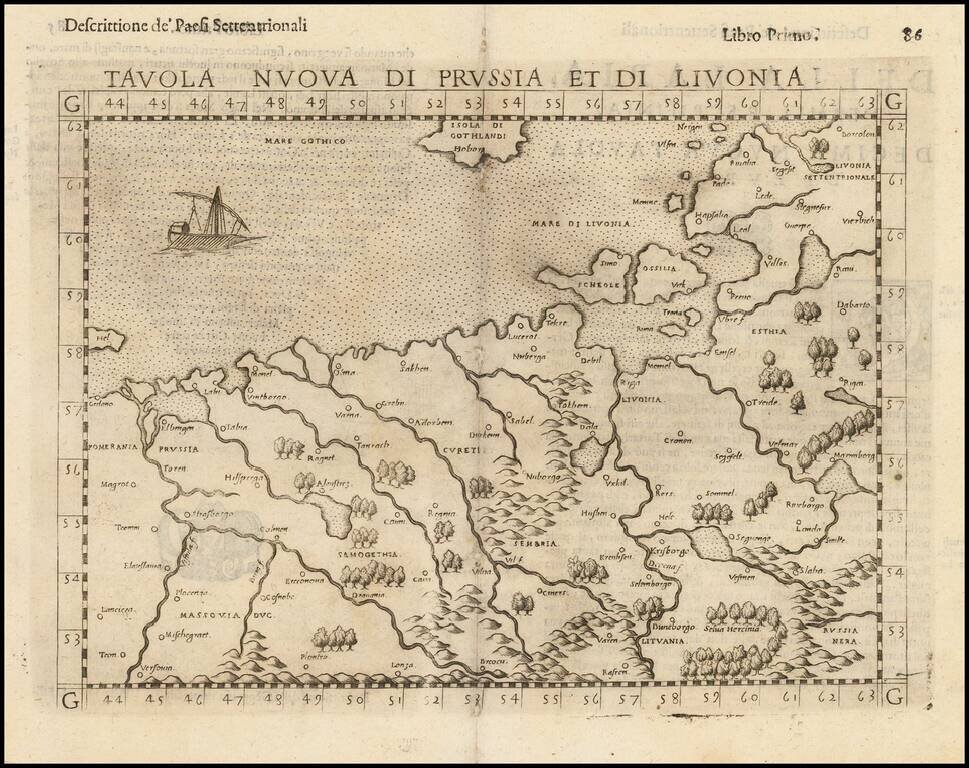
Nice example of the scarce third state Ruscelli's map of Poland, Lithuania and the Baltic Region. The map is bounded by the Vistula River and Prussia in the west, Livonia in the east, and Lithuania in the southeast. Centered on Riga and Vilna....
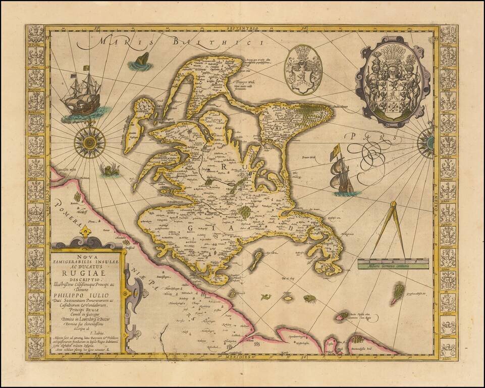
Striking hand-colored example of this decorative map, including two compass roses, sailing ships, sea monsters and massive coat of arms, plus the smaller coat of arms along both side borders, filled with the coats of arms of the island's leading...
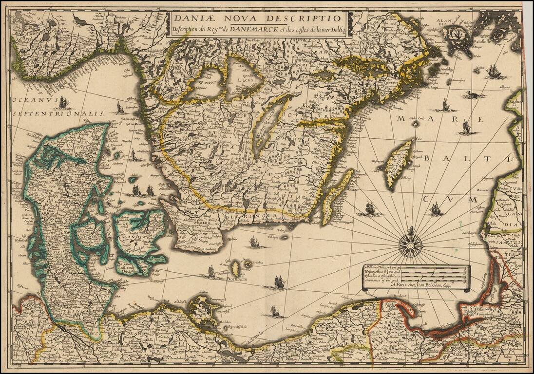
Rare separately issued map of Scandinavia and the Baltic Regions, published by Jean Boisseau. The map would later be issued by Langlois in Paris, circa 1660, with name "Mare Balticum" revised to "Mer Balticque." Not in Pastereau or Nordenskiold. We...
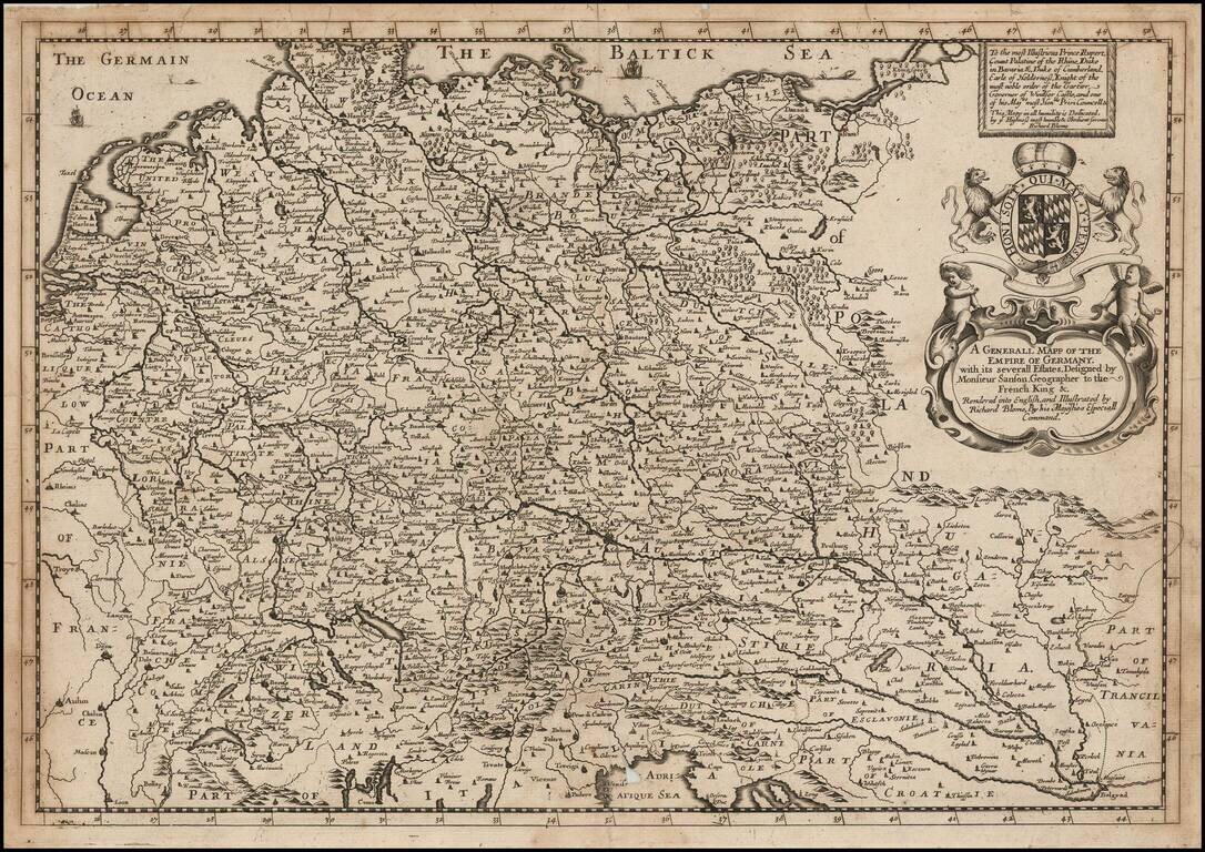
A striking dark impression of Richard Blome's scarce map of the German Empire, the earliest folio sized map of the region to be engraved in England. The map features an elaborate heraldic cartouche and a dedication to Prince Rupert, Count Palatine of...
![Hanc Ger[maniae et P]oloniae de[s ... ]em Serenissim [P]otentissimi Poloniae Regi August offert et inscribit Petrus Schenck](/map/small/64898.jpg)
With Portrait of the King of Poland and Lithuania Large engraved antique map of Poland, Lithuania and the Holy Roman Empire, by one of Amsterdam's most important mapmakers, Peter Schenk. The map includes a portrait of King Augustus II the Strong,...
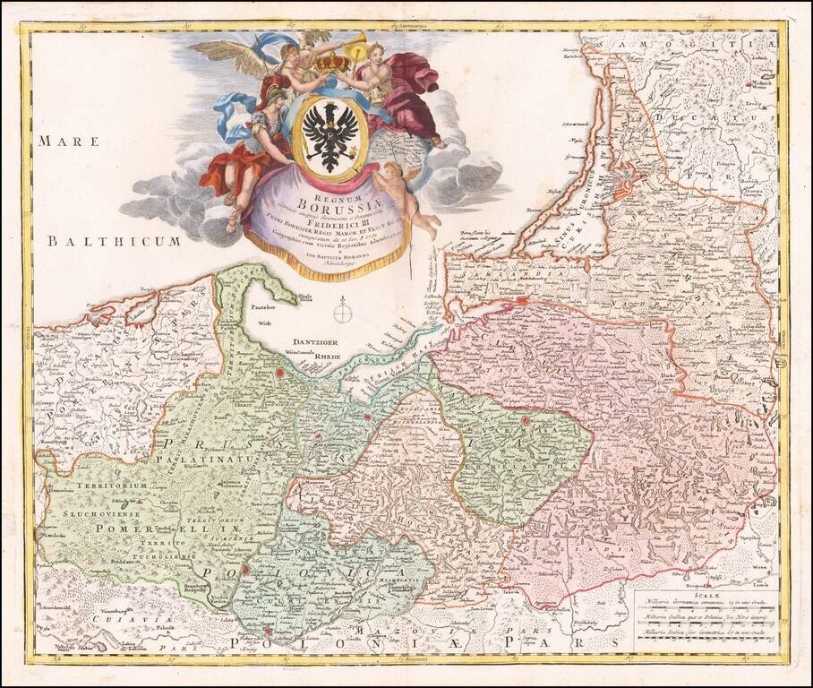
Fine map of Bohemia, celebrating the inauguration of Fredrick I as King of Prussia on January 1, 1713. Gorgeous map of the Baltic region, from Memel to Pomerania, extending south to Poland. Centered on Dantzig, Konigsberg, Heilsperg, etc. Magnificent...
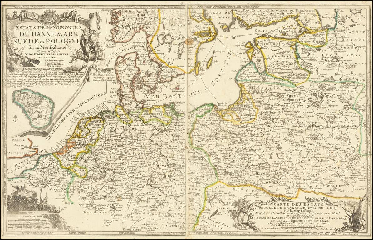
Scarce two sheet map of the Poland, the Baltic Sea and contiguous regions. The map includes a number of sea routes throughout the North Sea, Danish Sea and Baltic, ultimately connecting Finland and Latvia with Rotterdam, Friedrichstadt, Dantzig,...
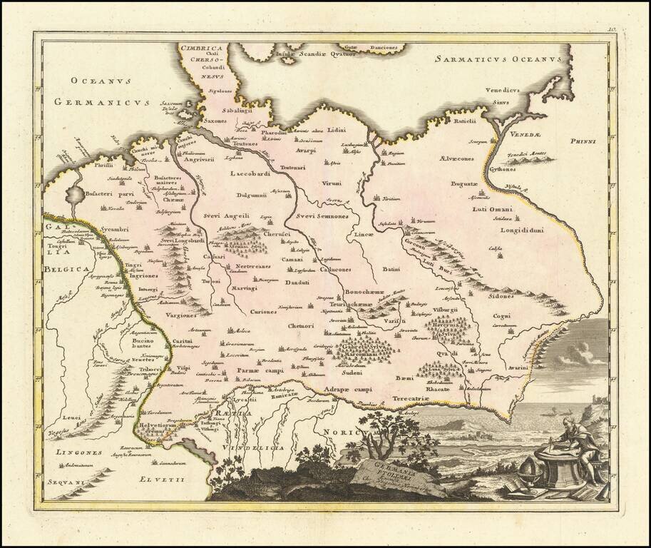
Decorative and highly detailed map of Ptolemaic Germany, extending east to the Vistula and South to the Danube River.
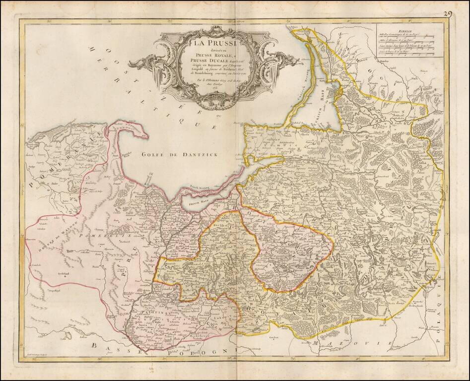
Detailed map of Prussia, including much of Poland and the Baltic Countries, published by De Vaugondy in Paris.
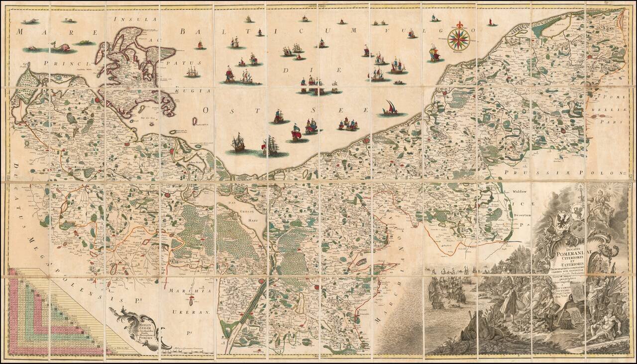
Fine example of the first state of Albrecht Carl Seutter's 6-sheet map of Pomerania, first published in about 1760. Seutter's map was based upon the so-called 'Lubin Map' and was created by the Rostock scholar, Eilhard Lubin, on behalf of the Duke...
Detailed map of the dismembered parts of Poland and the Baltic Region, extending from Prussia in the West to Smolensk in the East. Divided by regions. Highly detailed.
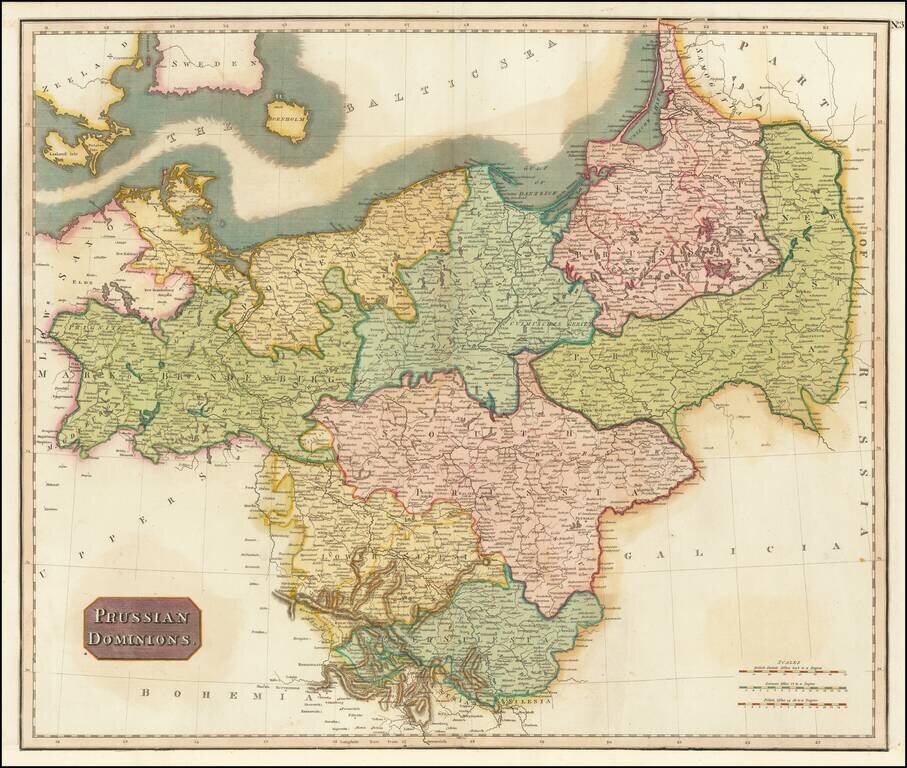
Detailed map of the Prussian Dominions, including parts of the former Kingdom of Poland. Colored by provinces. Excellent detail. One of the best large format English atlas maps of the period. Pinkerton's maps reflect the fine copperplate engraving...
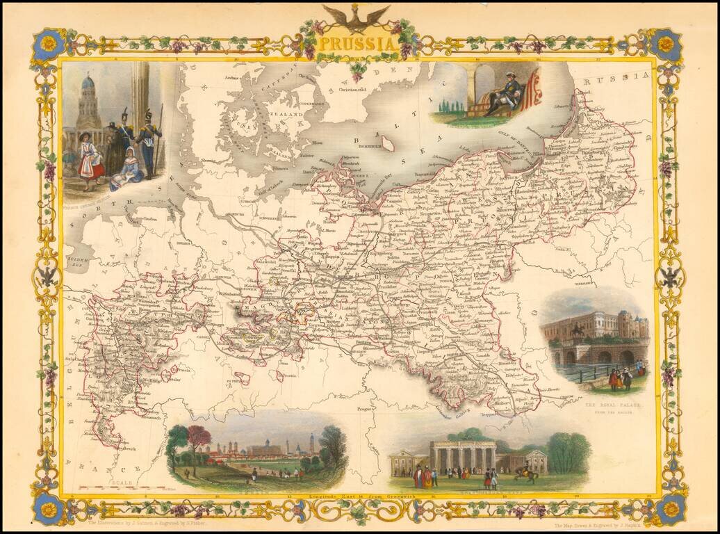
Stunning full color example of this marvelous map of Pussia, surrounded by decorative vignettes. Includes decorative vignettes showing French Church Berlin, Frederick the Great, The Royal Palace, Berlin, and Bradenberg Gate. Engraved for R....
![(Second World War - Eastern Front) [The Soviet Encirclement of Konigsberg]](/map/small/65659.jpg)
Color-printed German map of East Prussia, with extensive manuscript additions in a Soviet hand noting the troop movements during the East Prussia Offensive and encirclement of Konigsberg. The Red Army movements are shown in red pencil, Wehrmacht...