Map size in jpg-format: 7.60718MiB
Click to open in high resolution (open in new tab).
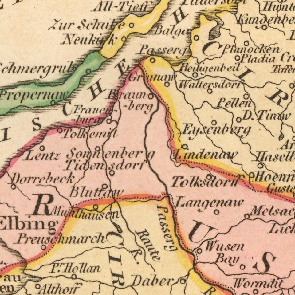
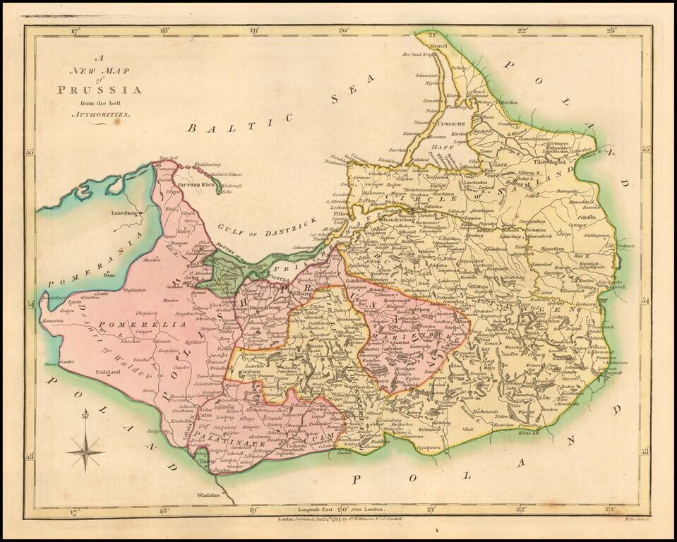
Detailed map of the dismembered parts of Poland and the Baltic Region, extending from Prussia in the West to Smolensk in the East.
Divided by regions.
Highly detailed.
If you are a student, write to us in telegram: @antiquemaps and indicate what material you need and for what work you need a map in high detail. We are ready to provide material on special terms. For students only!


