Map size in jpg-format: 1.14437MiB
Click to open in high resolution (open in new tab).
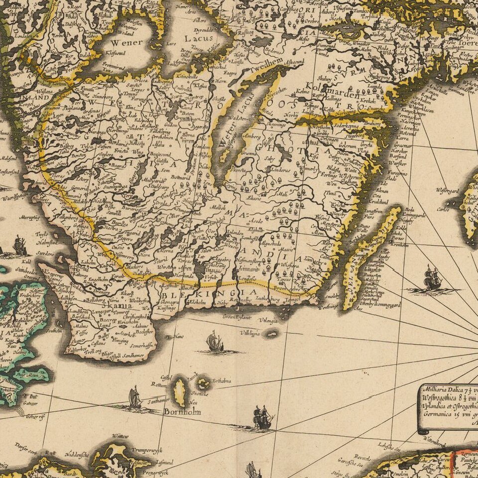
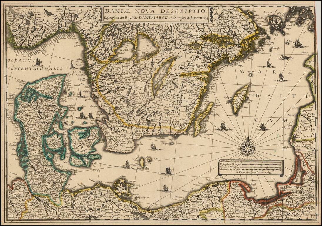
Rare separately issued map of Scandinavia and the Baltic Regions, published by Jean Boisseau.
The map would later be issued by Langlois in Paris, circa 1660, with name "Mare Balticum" revised to "Mer Balticque."
Not in Pastereau or Nordenskiold. We note 2 examples, one in the Bibliotheque National de France and the second in the Vilnius National Library, bound into a composite atlas.
If you are a student, write to us in telegram: @antiquemaps and indicate what material you need and for what work you need a map in high detail. We are ready to provide material on special terms. For students only!


