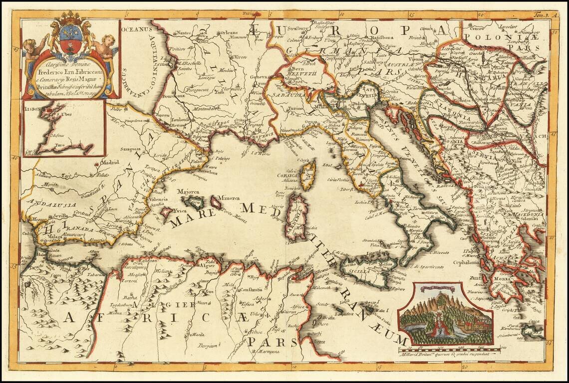
Rare Map of the Western Mediterranean Finely executed map of the western Mediterranean and environs, published to illustrate the work of French traveler and writer Aubry de la Motraye. As a result of the religious persecution that struck the...
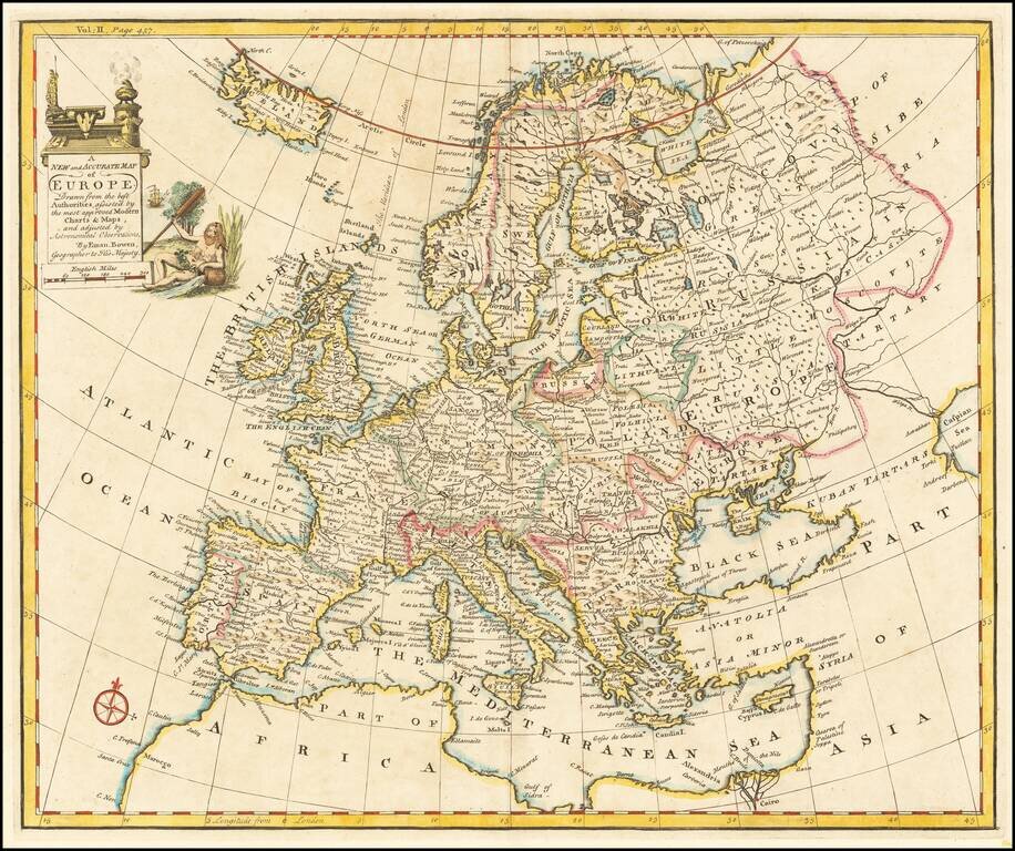
Decorative English map of Europe and Iceland. Decorative cartouche, compass rose and overall nice detail.
Decorative map of Europe with a detailed cartouche.
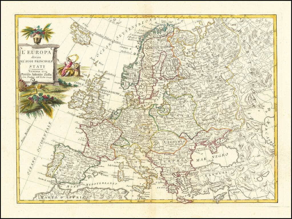
Decorative map of Europe, published in Venice in 1775. The present example is a rare early edition. Most examples are dated 1776 or later.
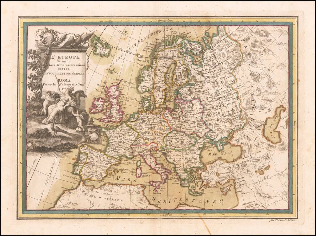
Nice old color example of Cassini's map of Europe, published in Rome.

Unusual Eighteenth-Century Map of Solar Eclipses over Europe Rare, separately-issued map showing the solar eclipses of 1715, 1724, 1737, 1748 and 1764, including the famous 1715 Halley’s Eclipse, named for the pioneer of eclipse mapping, astronomer...
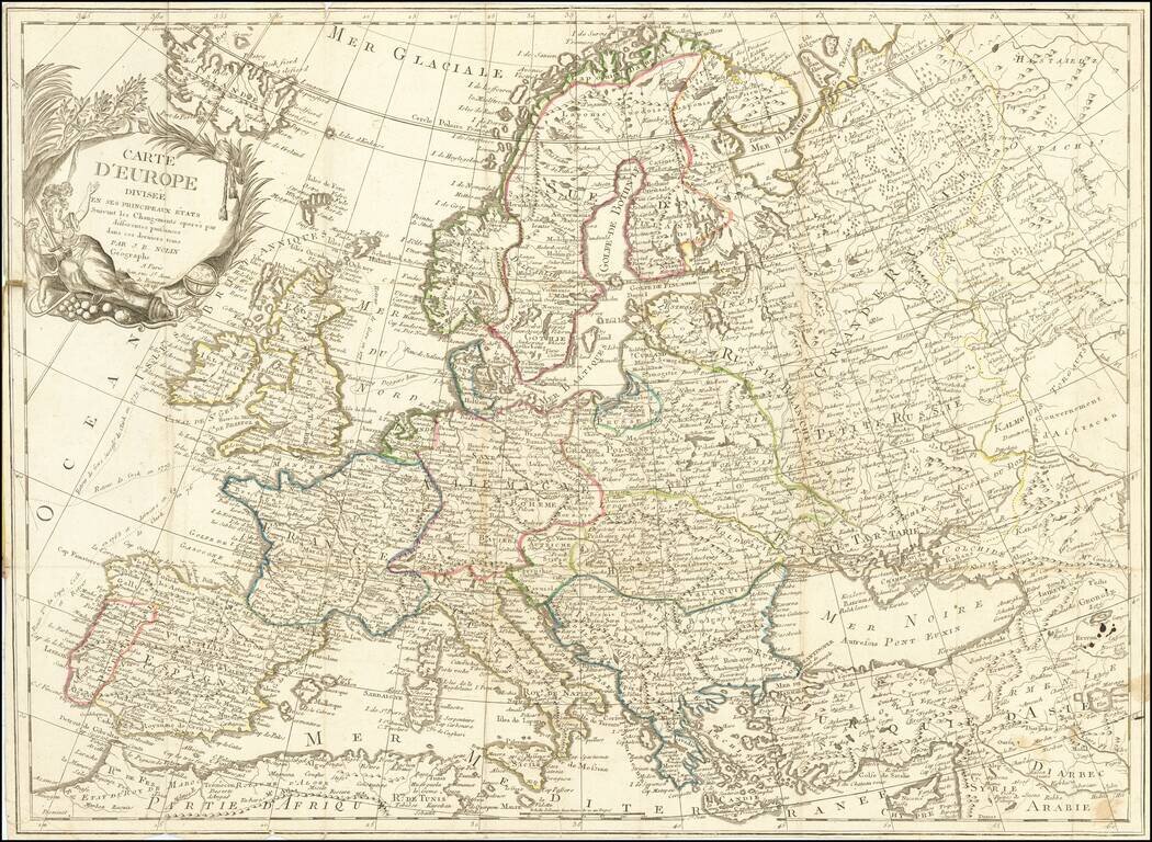
Scarce 19th Century JB Nolin map of Europe.
A French View of Europe Immediately After the Napoleonic Wars. Beautiful and exactingly-engraved four-sheet map of Europe, published in Paris in 1816 by France's foremost mapmaker of the time, Hubert Brué. The map is noteworthy for its precision of...
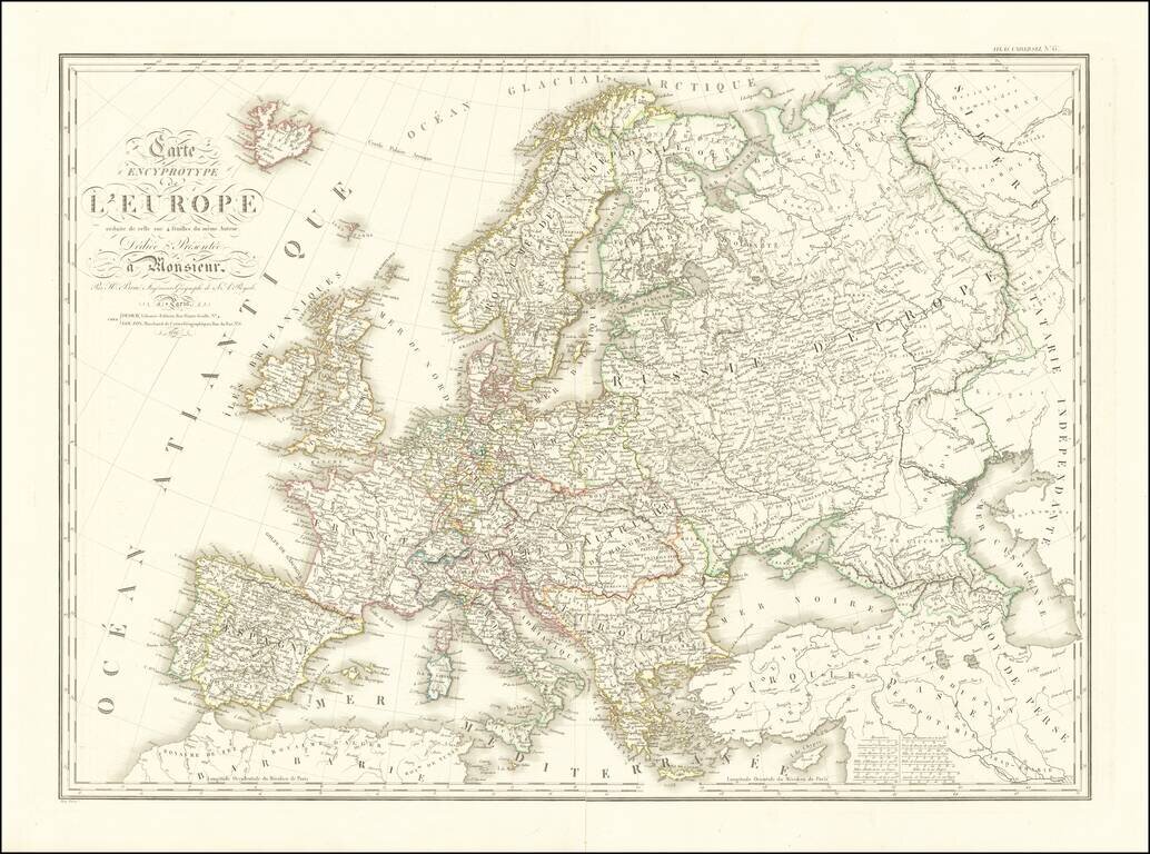
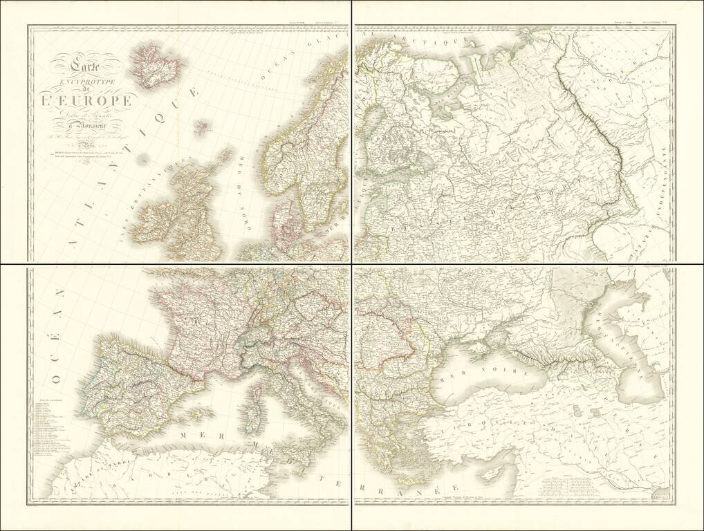
Rare single sheet version of A.H. Brue's Carte Encyprotype of Europe. This is in essence the key sheet for Brue's impressive and intricately-engraved tour-de-force 4 sheet maps of the world and continents, which was included in the earliest editions...
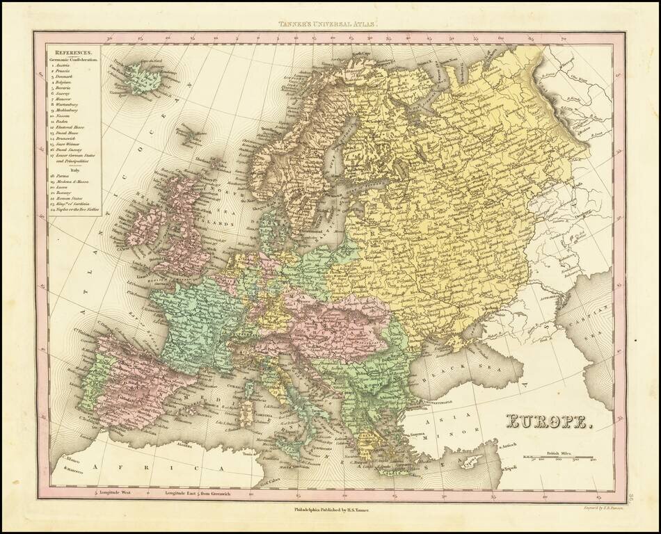
Detailed map of Europe colored by countries. Large key shows the various parts of the Germanic Confederation and Italy. This map is from an early edition of Tanner's New Universal Atlas, first issued in 1834. The Atlas would become the most popular...
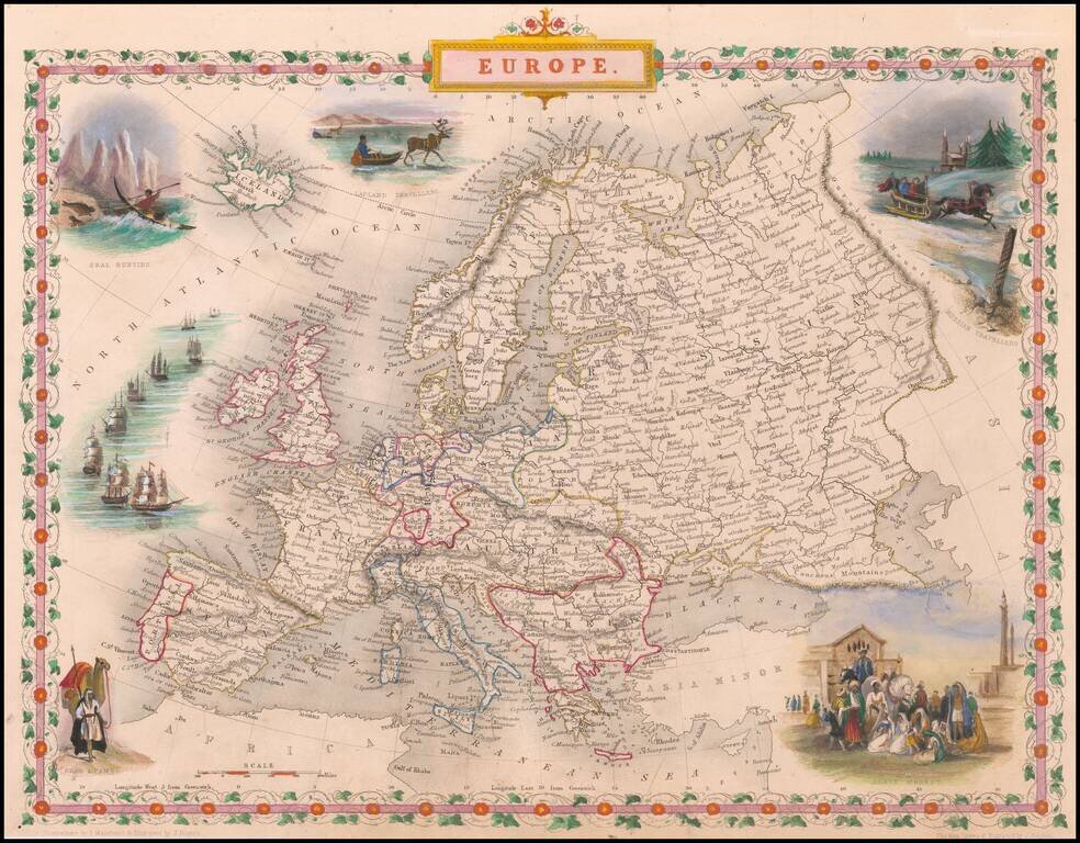
Gorgeous full color example, with vignettes showing Slave Market, Seal Hunting, Lapland Travellers, Arabs and Camels. Beautiful decorative border with remarkable color. Engraved for R. Montgomery Martin's Illustrated Atlas. Tallis was one of the last...
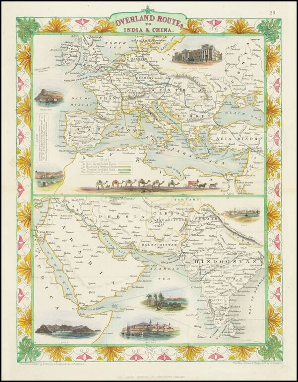
Striking full color example of this fascinating map, showing the various trade routes to Europe, with a larger map of Europe and the Mediterranean at the top, and a detailed regional map of the Middle East and Western India at the bottom. Decorative...
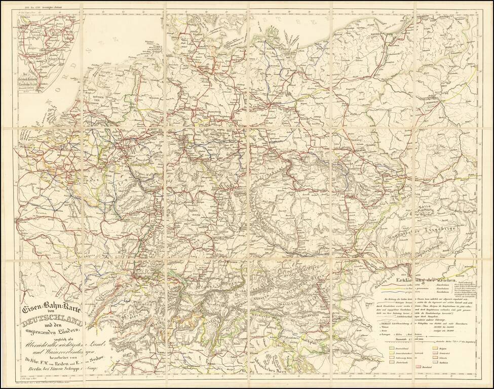
Rare railroad map of Western Europe, centered on Germany, noting the major railroads, roads and other means of commercial transit radiating out from Germany at the center of the map. The map illustrates railroad lines completed (red), under...
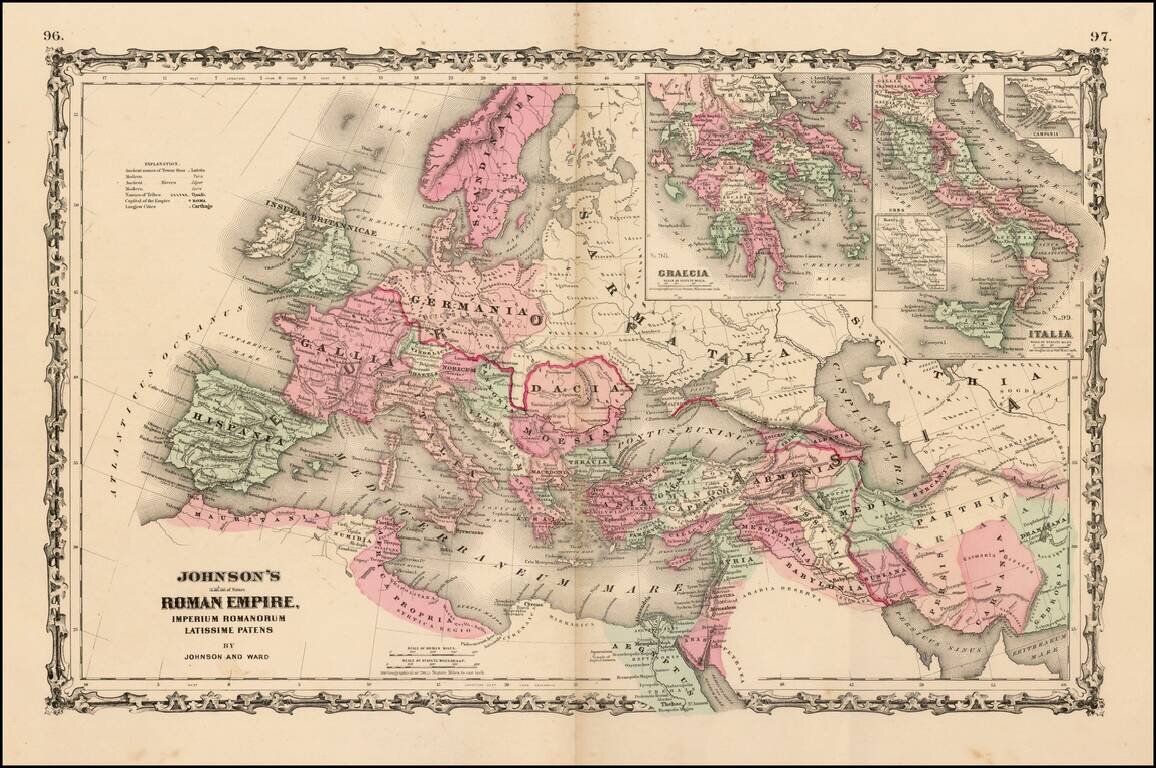
Large format map of the Roman Empire with insets of Roman Greece and Roman Italy. Includes ancient place names, rivers, mountains, etc. Decorative borders. A marvelous historian's map.
![[Ten Kingdoms of the Roman Empire]](/map/small/69498.jpg)
Interesting map of ten regions controlled by the Roman Empire, published for Benjamin Wills Newton. The caption on the map notes: The coloured part of this Map is intended to suggest the probable Territorial Arrangements That Will Be Found in the...
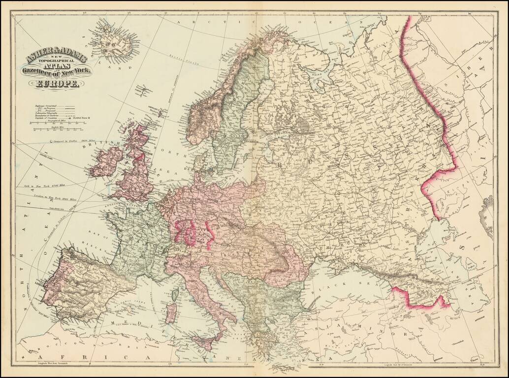
Fine large map of Europe, published by Asher & Adams. The map includes railroads and shipping routes, with distances to ports in North America and Europe.