
John Speed's highly decorative double-page engraved map of Lancaster. The map features the portraits of Henry IIII, Henry V, Henry VI, and Henry VII under the heading "Blessed are, the Peace-Makers." It also shows Edward IIII, Edward V, Richard III,...
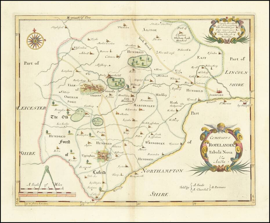
A detailed county map of Rutland prepared by Robert Morden in 1695 and most likely printed as part of the 1722 edition of Camden's Britannia. The map of this small county is attractively designed, with forests, lakes, and towns all shown, and larger...
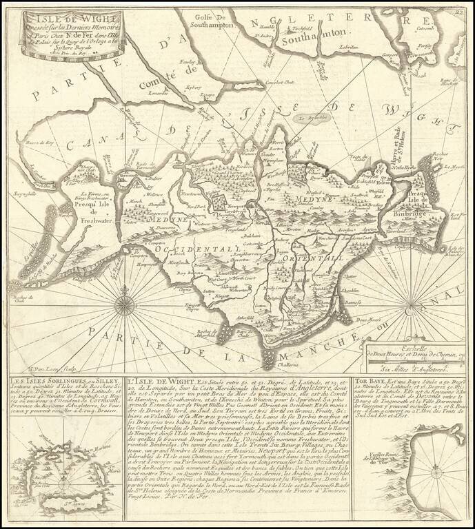
Detailed map of the Isle of Wight and contiguous coastline, from Portsmouth and Southampton to Swynghills and Havre de Rey (Kings Harbor). Shows a very detailed treatment of the island, both coastal and interior, with rhumb lines. Inset of Tor Bay and...
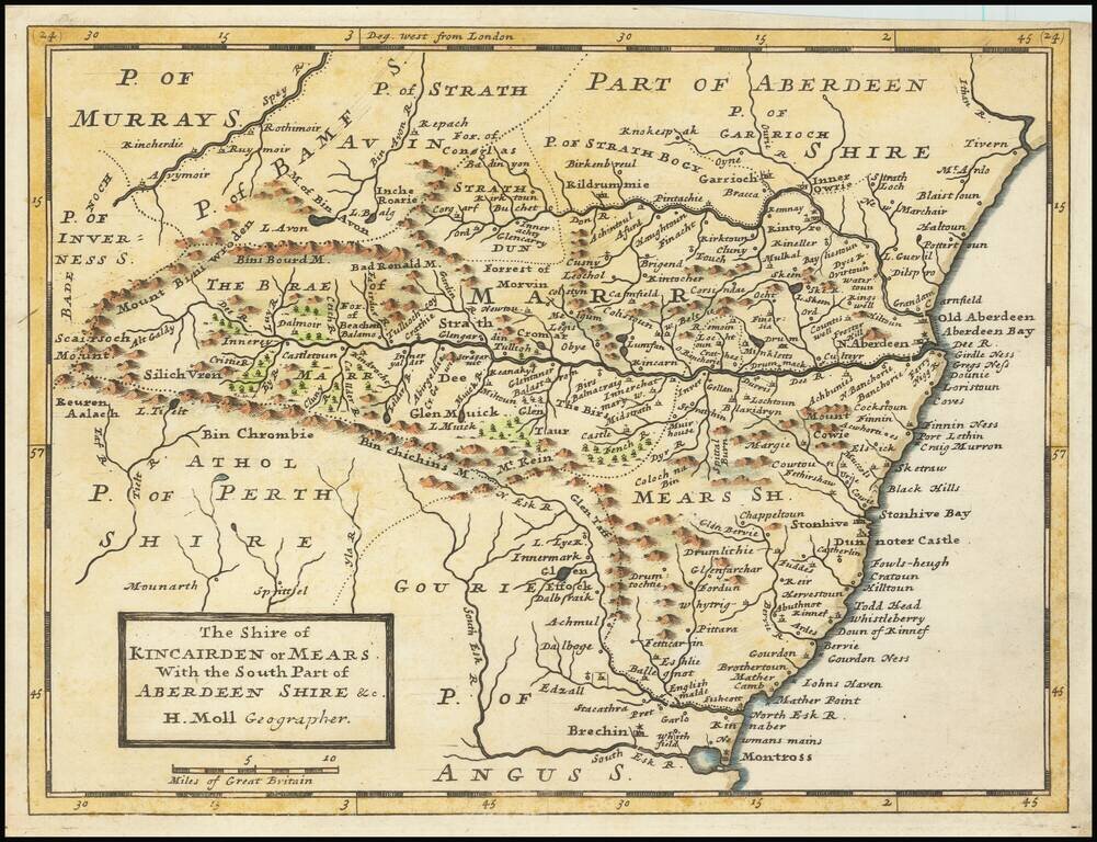
Small engraved map of the region around Aberdeen, Scotland, by Herman Moll. Shows the old shires Kincairden or Mears and part of Aberdeenshire.
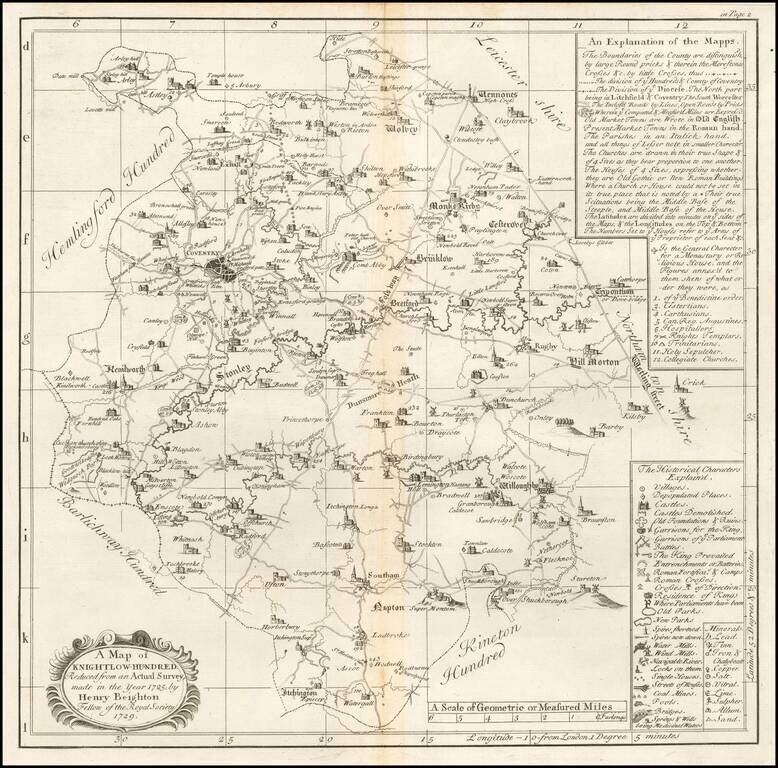
Engraved map of a part of Warwickshire from William Dugdale's The antiquities of Warwickshire illustrated…beautified with maps, prospects and portraitures. The map includes Coventry.
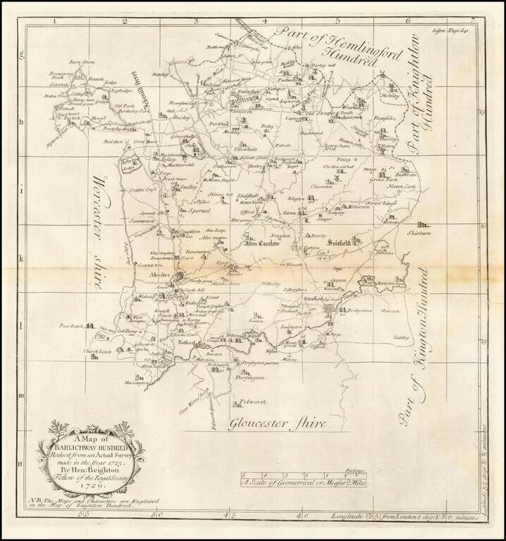
Engraved map of part of Warwickshire from William Dugdale's The antiquities of Warwickshire illustrated…beautified with maps, prospects and portraitures.
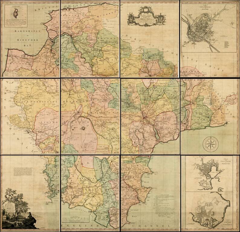
Fine example of Benjamin Donn's 12-sheet map of Devon, the first map to win the Royal Society of Arts award for the best 1 inch to a mile survey of an English county, and the first large-scale printed map of Devon. Engraved and published by Thomas...
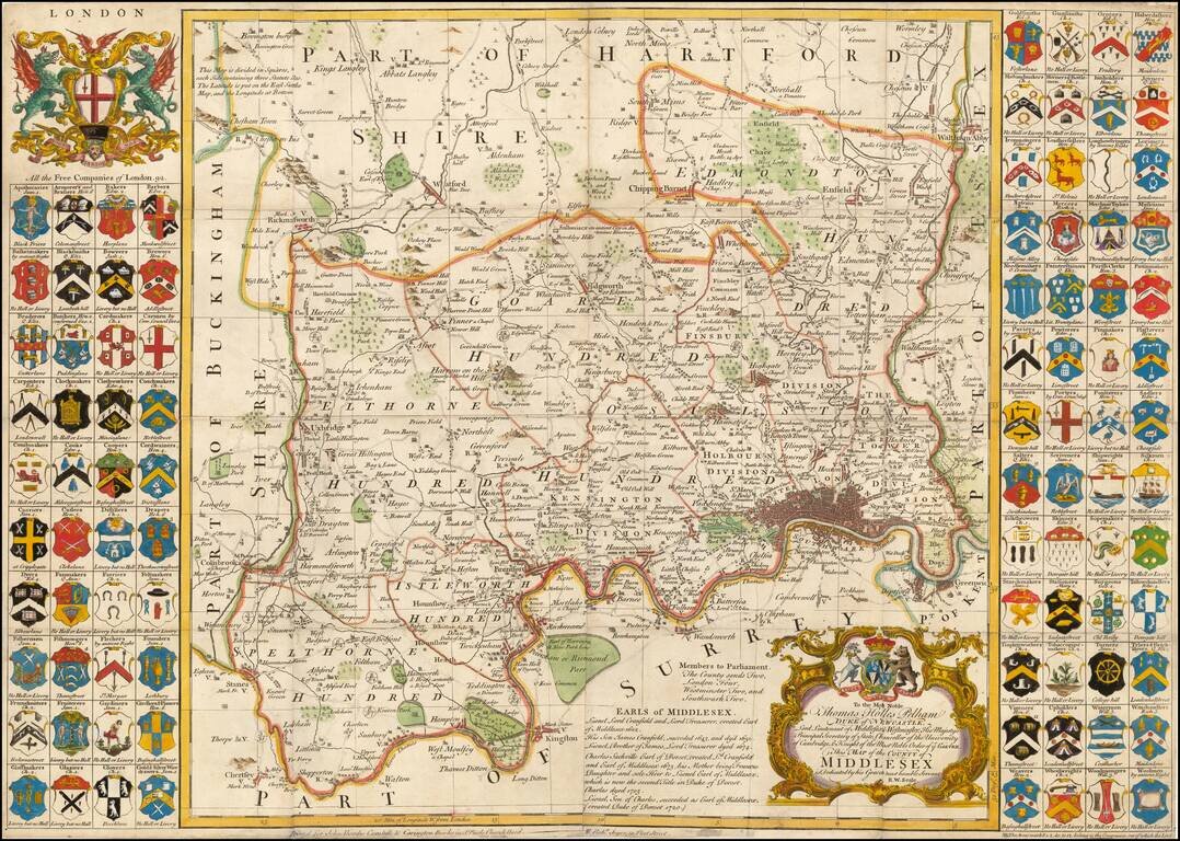
Fine large format map of the County of Middlesex, with London in the lower right corner. Includes 92 small coats of arms of the Free Companies in the county, and two larger decorative cartouches. A large and decorative 18th century map of Middlesex...
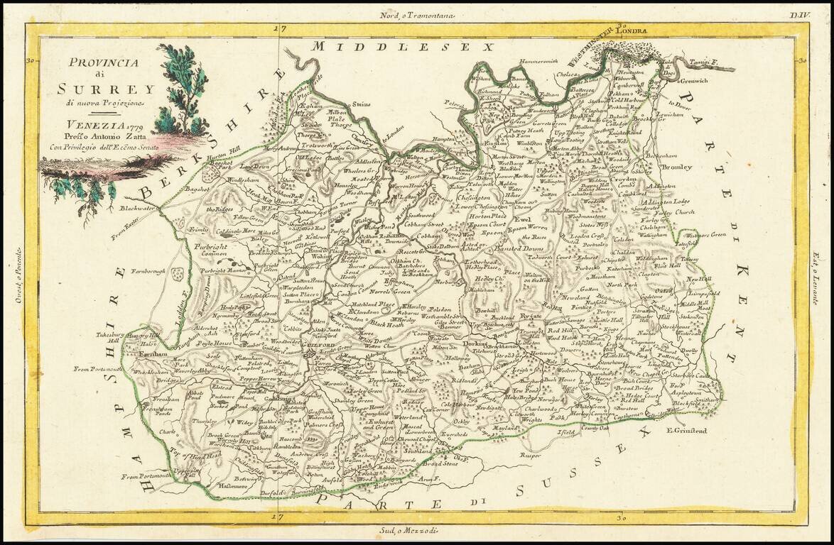
Antique map of the Surrey and adjoining Home Counties. In the 18th century layout of the county, the northern border is marked by the River Thames, and Surrey includes parts of London, though Westminster and the Isle of Dogs form part of Middlesex....
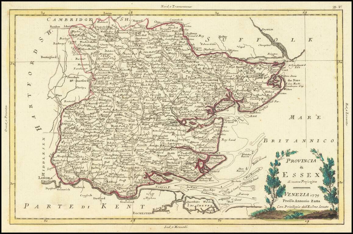
Antique map of the Provinces of Essex, published by Antonio Zatta in Venice.
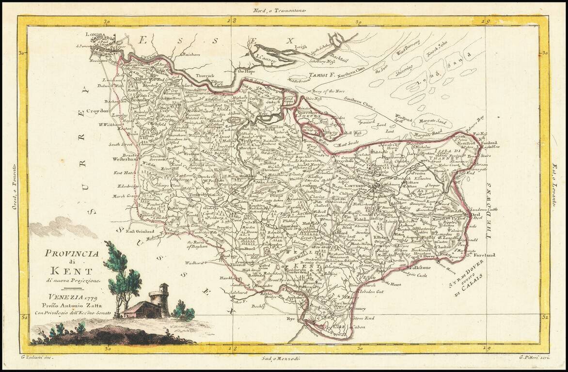
Antique map of the County of Kent and vicinity, published in Venice by Antonio Zatta.
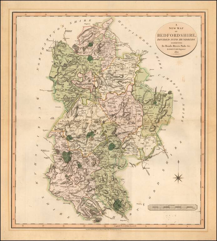
Detailed map of Bedfordshire, published in London by John Cary.
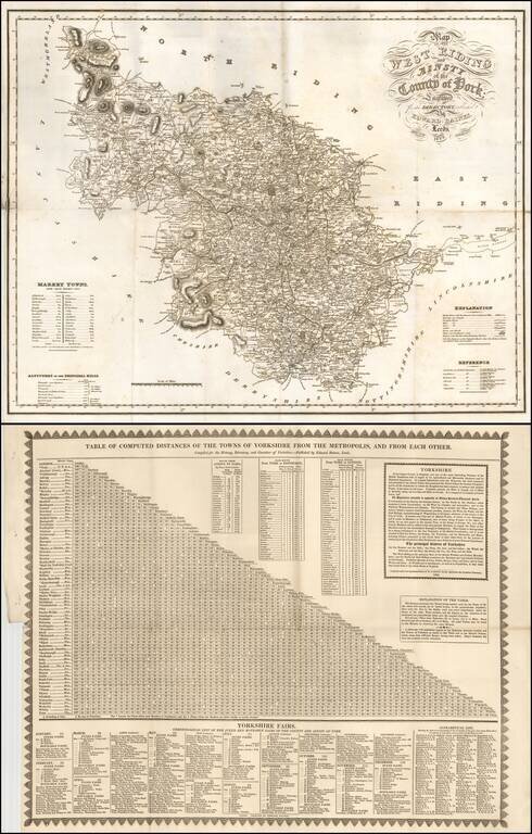
Detailed map of a portion of the County of York, from Baines History, Directory and Gazetter of the County of York, published in Leeds. Shows the area of Yorkshire around Sedbergh is now in Cumbria.
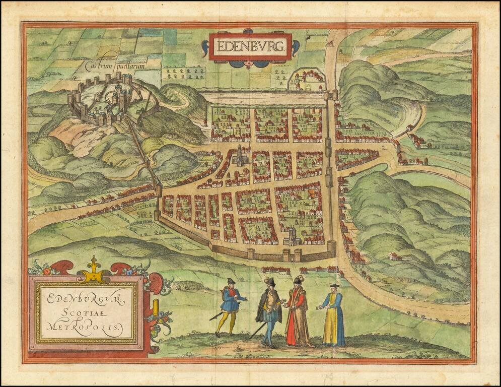
Finely colored example of the earliest obtainable views of Edinburgh, published by Braun & Hogenberg. Includes Edinburgh's major 16th Century buildings shown in profile, with no consideration for perspective. Published for the Civitates Orbis...
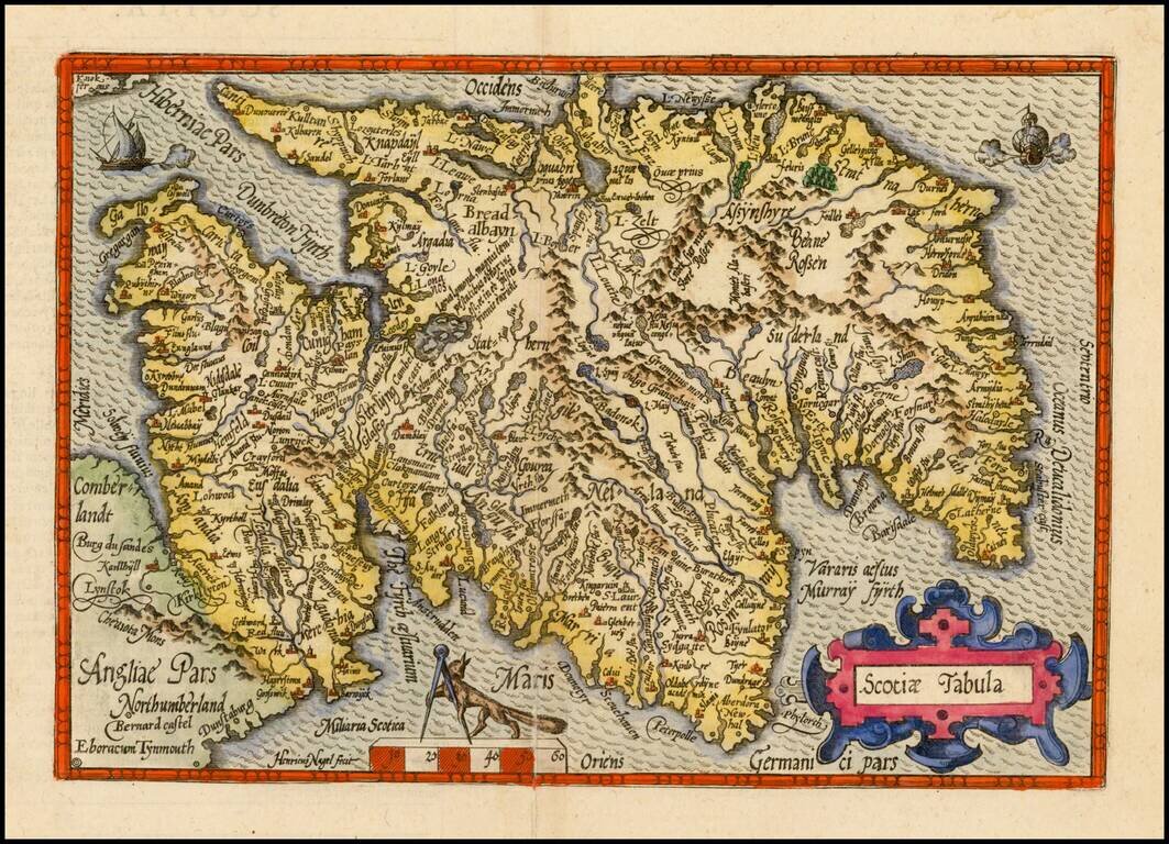
Scarce 16th Century map of Scotland, pubilshed by Bussemacher in Cologne, and oriented with west at the top. Engraved by Henricus Nagel. Published in Cologne.
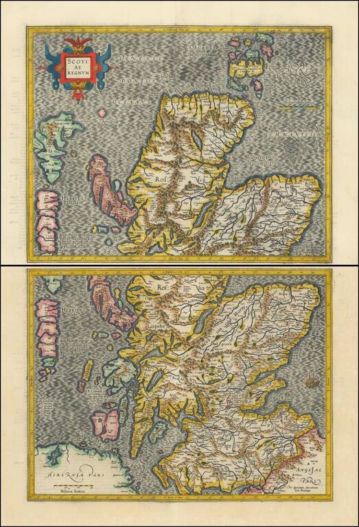
Striking full color example of Mercator's 2-sheet map of Scotland. Includes a decorative cartouche and fine early detail. One of the earliest obtainable maps of Scotland.