logo

1730. A Map of Knightlow Hundred Reduced From an Actual Survey made in the Year 1725 by Henry Beighton Fellow of ye Royal Society, 1729 . . .

  • A Map of Knightlow Hundred Reduced From an Actual Survey made in the Year 1725 by Henry Beighton Fellow of ye Royal Society, 1729 . . .

A Map of Knightlow Hundred Reduced From an Actual Survey made in the Year 1725 by Henry Beighton Fellow of ye Royal Society, 1729 . . . information:

Year of creation: 
Resolution size (pixels): 
 9013x8897 px
Disk Size: 
 13.6566MiB
Number of pages: 
 1
Place: 
 London
Author: 

Print information. Print size (Width x height in inches):
Printing at 72 dpi 
  125.18 х 123.57
Printing at 150 dpi 
 60.09 х 59.31
Printing at 300 dpi 
 30.04 х 29.66

An example of detailing the file of this map of in a printable high-resolution:

Click to open in high resolution (open in new tab).
Attention! this is just the central piece (central area 960x960 px) of the map file!
This is an example, so that you can see and study the level of detail of a given map. The entire Map will be fully available after payment!

A Map of Knightlow Hundred Reduced From an Actual Survey made in the Year 1725 by Henry Beighton Fellow of ye Royal Society, 1729 . . .

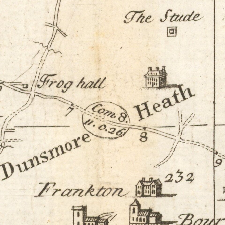
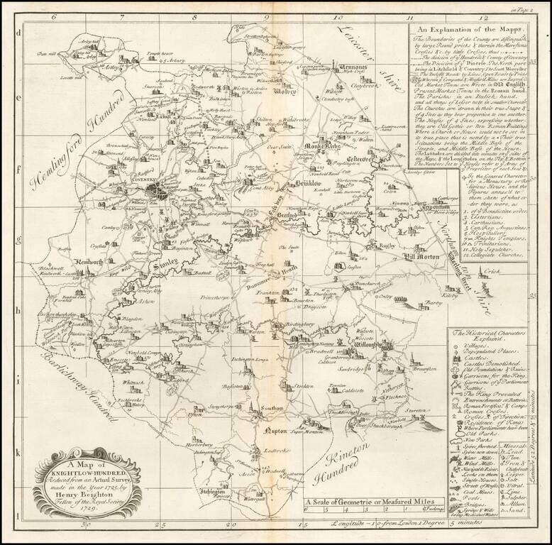
Engraved map of a part of Warwickshire from William Dugdale's The antiquities of Warwickshire illustrated…beautified with maps, prospects and portraitures.

The map includes Coventry.


Special conditions for students!

If you are a student, write to us in telegram: @antiquemaps and indicate what material you need and for what work you need a map in high detail. We are ready to provide material on special terms. For students only!

Item information:

Year of creation:
Size:
9013x8897 px
Disk:
13.6566MiB
Number of pages:
1
Place:
London
Author:
Henry Beighton.
$14.99

Related item