
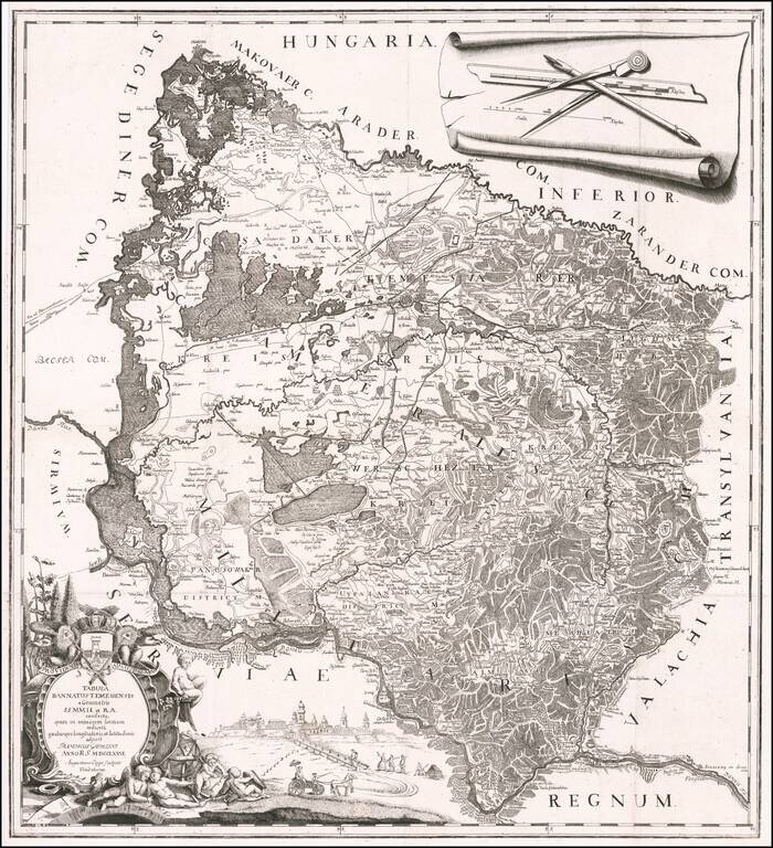
A Map of the Banat of Timisoara by One of its Most Important Historians Rare separately published map of the Banat of Timișoara, created by Francesco Griselini, following his travels to Timișoara with Count Giuseppe Brigido in 1774 and published in...
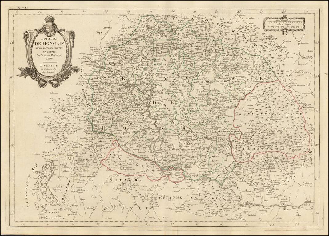
Finely detailed map of Hungary and adjoining regions, published in Venice by Santini. The map follows the course of the Danube from Vienna in the west to Nicopel (Nikopol, Bulgaria), and to the southwest, the Dalmatian Coastline. Includes large parts...
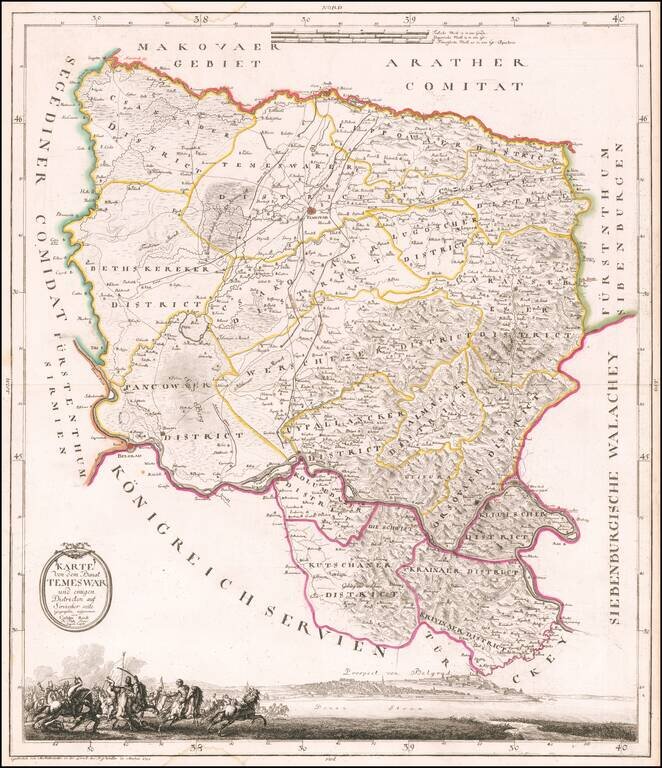
An Early Map of the Banat of Timisoara Rare separately published map of the Banat of Timișoara, published in Munich by Castulus Reidl, The map is centered on Timișoara, and bounded by Zeged in the northwest, the Maros (Mures) River in the north,...
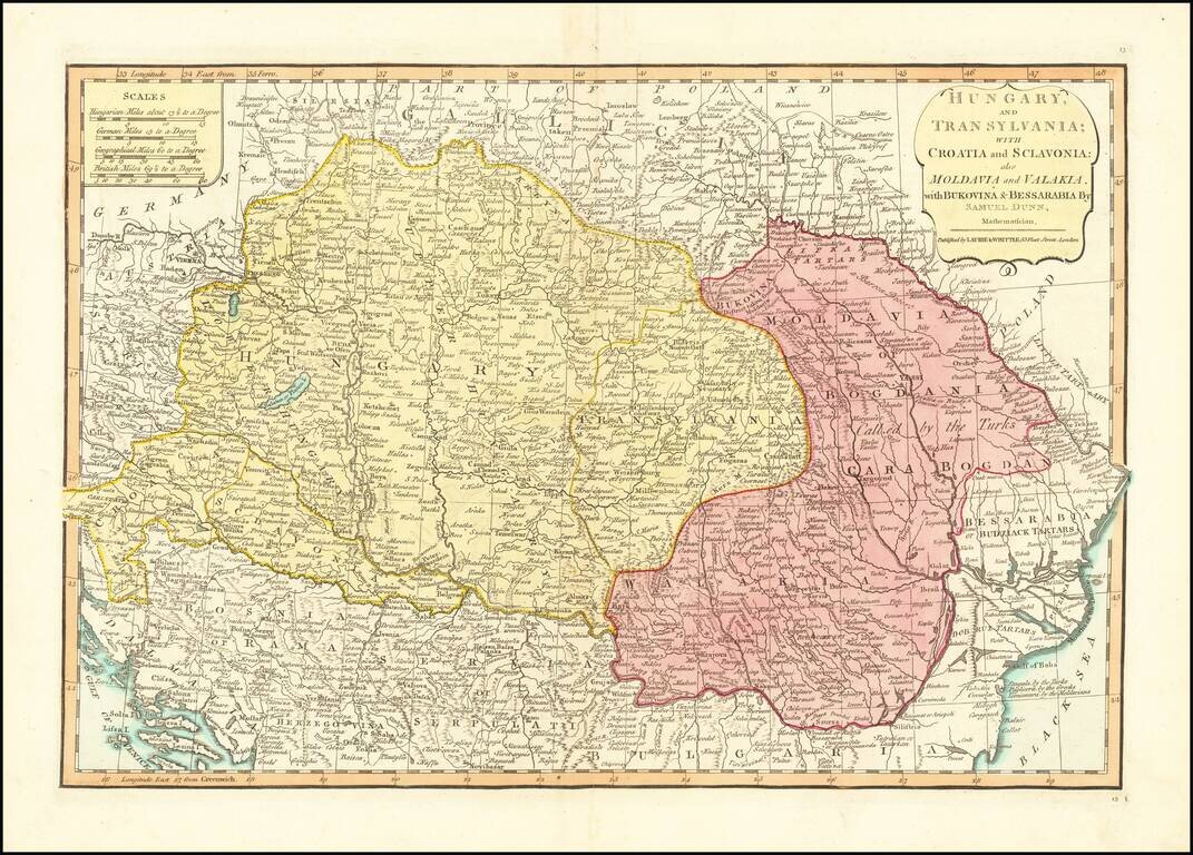
Detailed engraved map of the Balkans and Hungary, by one of the most important mapmaking firms of the end of the 18th century: Laurie & Whittle. The map shows Croatia, Serbia, Bosnia, Slovenia and the region extending east to Romania and the Black...
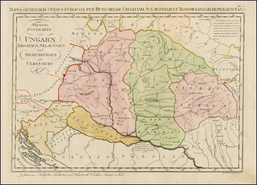
Rare postal map of Eastern Hungary, Slovenia, Croatia, Transilvania, and parts of Romania, Serbia, Bosnia, Galitzia and Bukowina, which appeared in Von Reilly and Kuhn's Atlas Universae rei veredariae bilinguis ... Allgemeiner Postatlas von der ganzen...
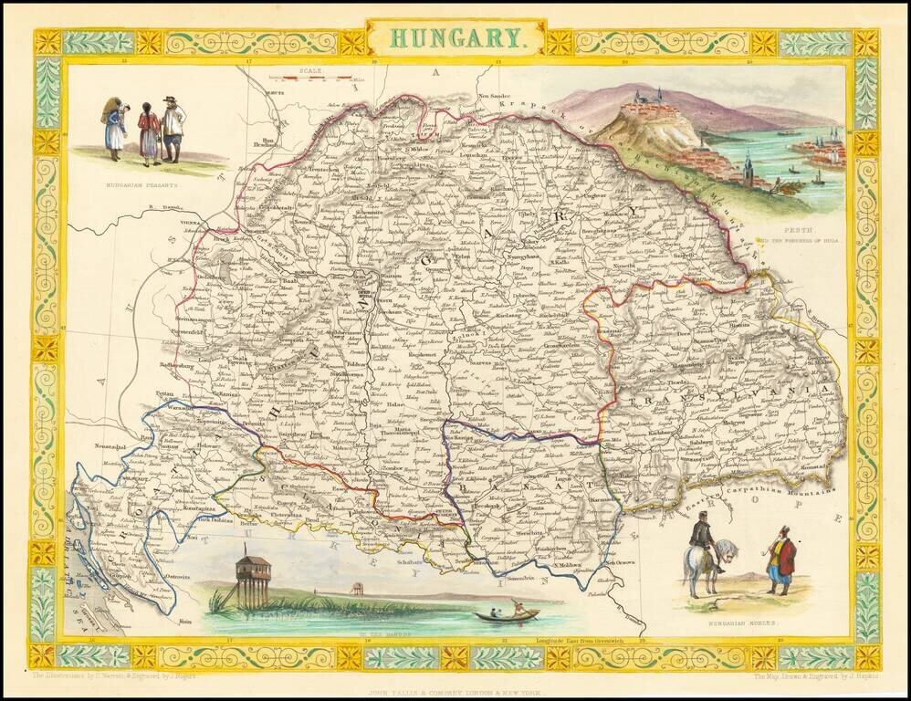
Gorgeous full color example of Tallis's map of Hungary, with vignettes showing Hungarian Nobles, Budapest, Hungarian Peasants and a scene on the Danube. Engraved for R. Montgomery Martin's Illustrated Atlas. Tallis was one of the last great decorative...
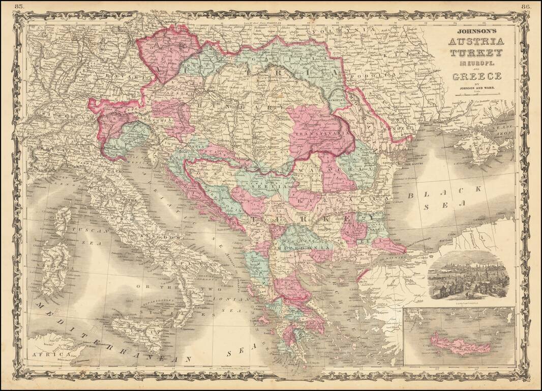
Marvelous map showing Greece, Turkey and a very large Austrian Empire, including all of Hungary, Transylvania, Galitzia, Bohemia, Moravia, etc. Excellent delineation of the Balkans states, at a time when they all had their current names. Plus, a few...
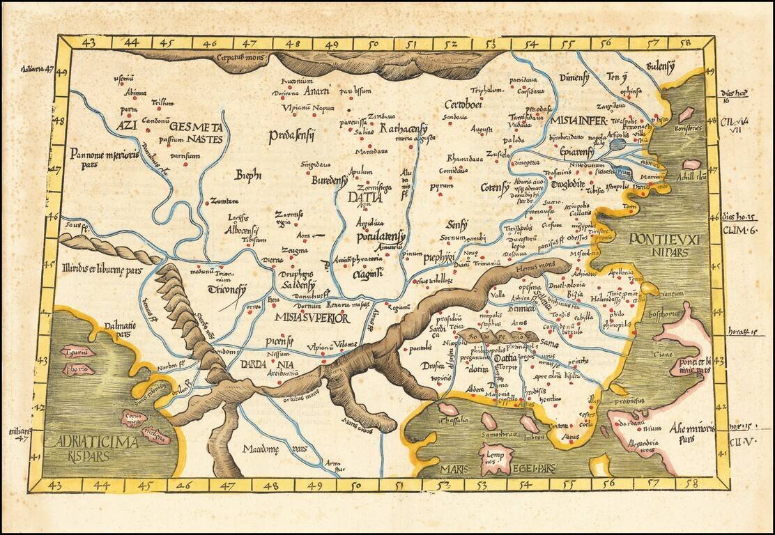
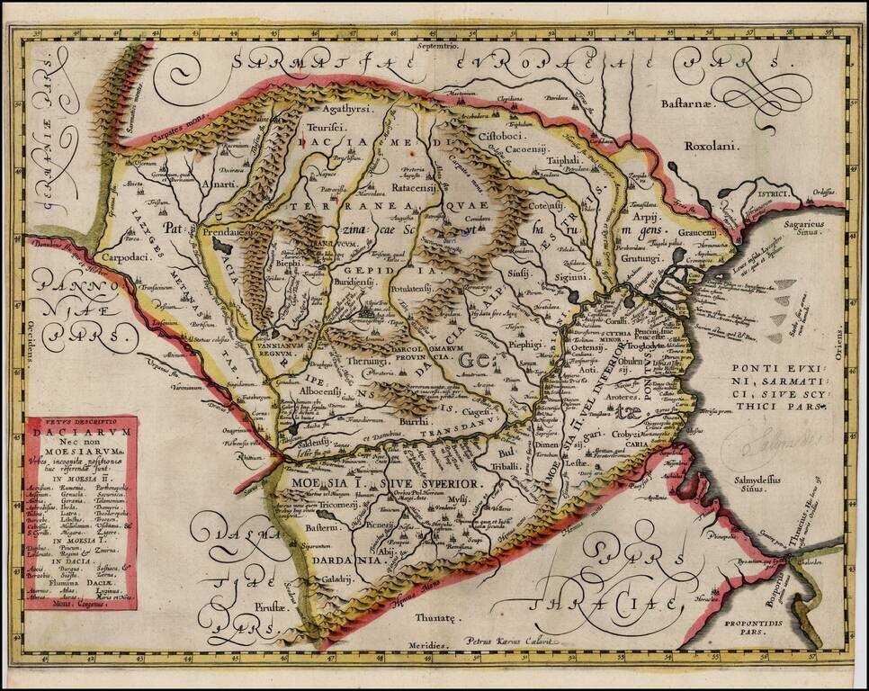
Rare Early Regional Map of Romania, Greece, etc. Nice example of the 1525 edition of Lorenz Fries map of the Balkans, Romania and northern Greece First published in Strasbourg by Johannes Gruninger in 1522, Fries map is based upon Waldseemuller's map...
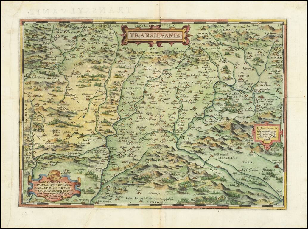
Nice example of Ortelius' map of Transylvania, from his Theatrum Orbis Terrarum, the first modern atlas. The map is drawn from a rare map of Hungary prepared by Sambucas in 1566, which is in turn based upon Honter's map of 1532.
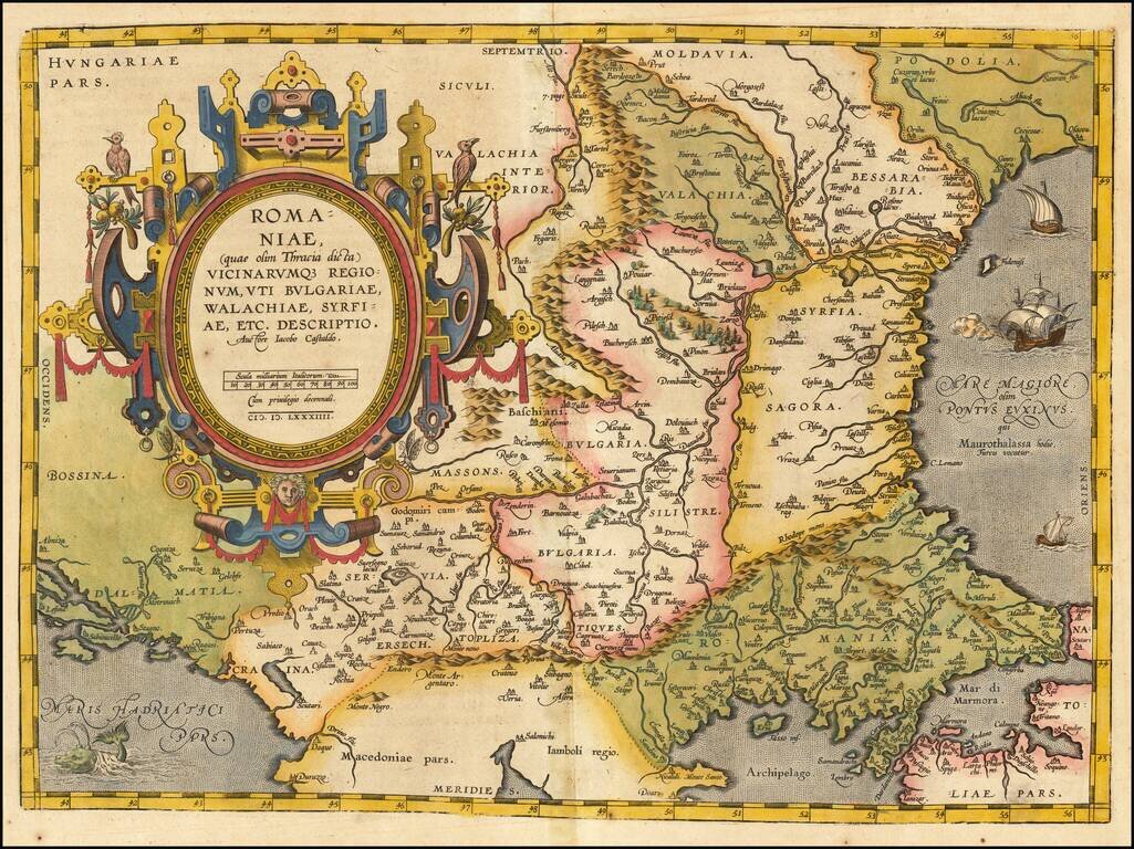
Striking example of Ortelius' map of Romania and contiguous regions west of the Black Sea and north of the Adriatic Coast. Countries located include Bessarabia, Valachia, Bulgaria, Moldova, Syrfia, Romania, Dalmatia and Servia. From Ortelius'...
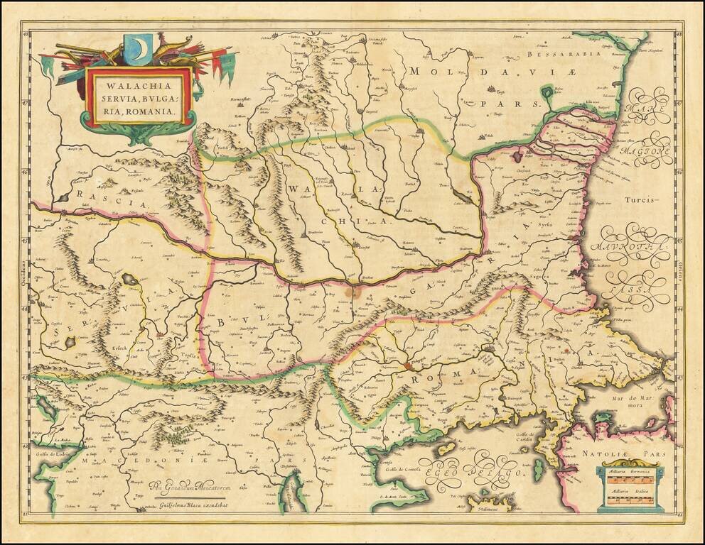
Nice old color example of Blaeu's map of the Lower Danube, Bulgaria, Romania, Serbia and Macedonia. Includes decorative cartouche, coat of arms, etc.
Extremely rare proof state of Jan Jansson's map of Romania, pre-dating the addition of the putti and decorations around the title box. The proof state is known in only a few examples and was mentioned by Peter Van der Krogt in the new edition of...
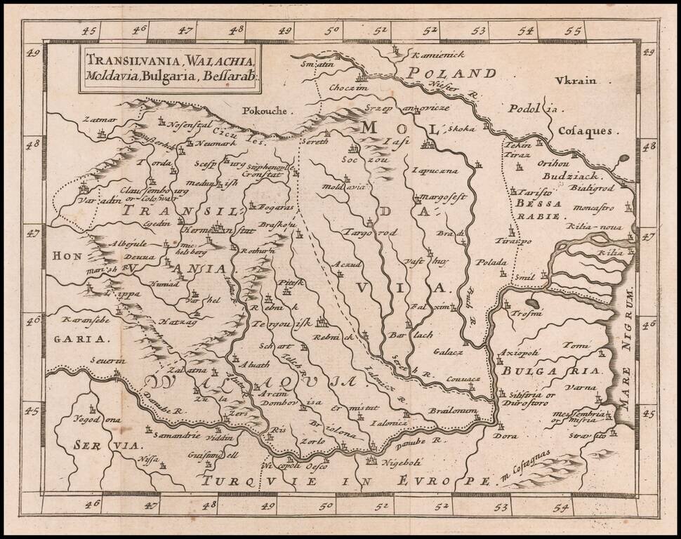
Rare Miniature English Map of Romania, Transylvania, Moldovia, and Bulgaria Rare map of Romania, Transylvania, Moldovia, and Bulgaria, published by Sir Jonas Moore in London. The map appeared in Moore's A New Geography. Many of the plates in the...
![[Tighina / Bender, Moldavia -- Dniester River] Plan von der Festung Bendern am Dniester Flus, zwischen der Moldau, westlichen Nogai und Bessarabien an einen Morast gelegen](/map/small/61819.jpg)
Finely Illustrated Map of the Bendery Fortress in Moldova with Ottoman Punishment Scene Excellent rendition of the area near present-day Bender (Tighina), Moldova showing military and topographical landmarks with a fascinating accompanying...
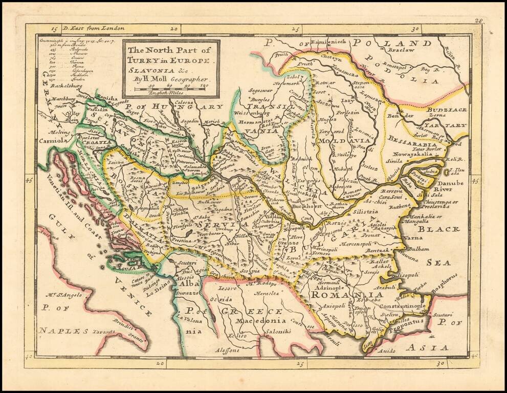
Interesting early 18th Century map of Balkans region, at a time when the region was still controlled by Turkey. The map extends from the Black Sea to Slovenia, Croatia and Dalmatia. The map was published by one of London's leading mapmakers, Herman Moll.
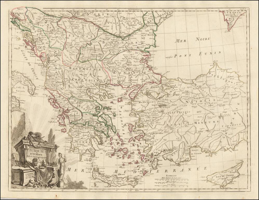
Scarce regional map centered on Greece, Turkey, The Balkans and the Black Sea, published in Venice by Francois Santini. One of the most detailed maps of the region published in the mid-18th century.