Peter Schenk the Elder (1660-1711) moved to Amsterdam in 1675 and began to learn the art of mezzotint. In 1694 he bought some of the copperplate stock of the mapmaker Johannes Janssonius, which allowed him to specialize in the engraving and printing of maps and prints. He split his time between his Amsterdam shop and Leipzig and also sold a considerable volume of materials to London.
Peter Schenk the Elder had three sons. Peter the Younger carried on his father’s business in Leipzig while the other two, Leonard and Jan, worked in Amsterdam. Leonard engraved several maps and also carried on his father’s relationship with engraving plates for the Amsterdam edition of the Histoire de l'Académie Royale des Sciences.
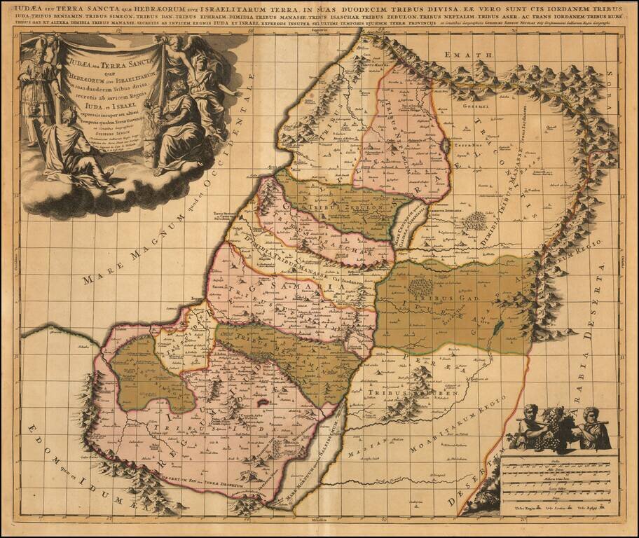
Old color example of Schenk's map of the Holy Land, showing the 12 Tribes of Israel. Includes a finely engraved allegorical cartouche.
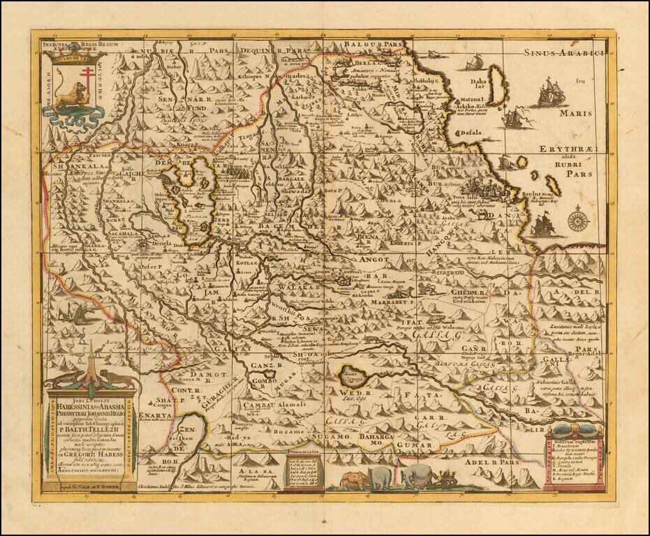
Scarce late 17th Century map of the Upper Nile and Kingdom of Prester John, based upon Jobi Ludolfi map of 1683. The map provides a detailed treatment of Ethiopia and the Eritrean coast, originating from an Ethiopian manuscript. Embellished with...
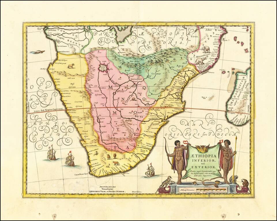
Attractive map of Southern Africa and part of Madagascar, shortly before the first Dutch settlement in the region. The area shown is from the Congo River basin around the Cape of Good Hope and up the east coast as far as northern present-day...
![[Black Kingdom] Nigritarum Regnum](/map/small/56999.jpg)
The Black Kingdom Nice example of this decorative late 17th Century map of a part of West Africa, from the region surrounding the Senegal River to Angola. Nigritarum is the feminine plural work in Latin for the word negritis, meaning black. Richly...
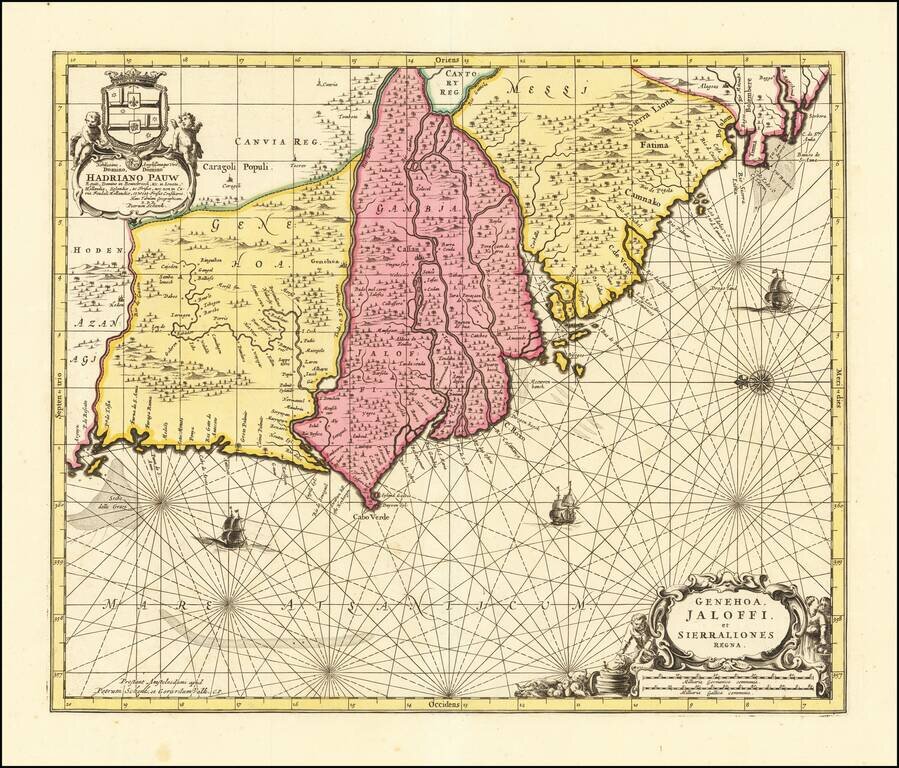
Nice old color example of this detailed sea chart of the West African Coast, from Senegal to Sierra Leone. Decorative cartouches, rhumblines, sailing ships and other decorative features embellish the map.
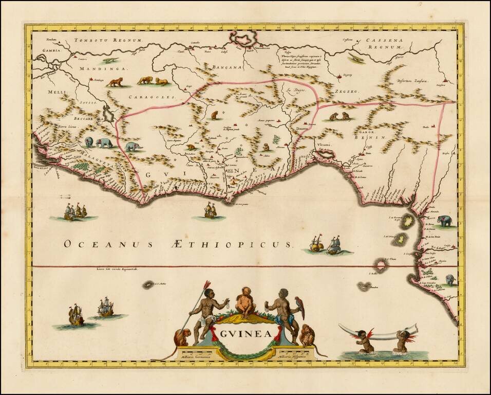
Decorative map of West Africa, published by Valk & Schenk in Amsterdam. The map includes numerous animals in the interior, sailing ships and several elegant cartouches. The sea is show with Rhumb lines. The first state of this fascinating map,...
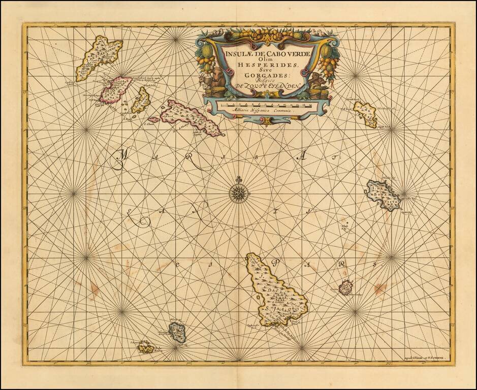
Detailed sea chart of the Cape Verde Islands, published in Amsterdam. Shows a volcano erupting on the Isla de Fuogo.