Map size in jpg-format: 34.816MiB
Click to open in high resolution (open in new tab).
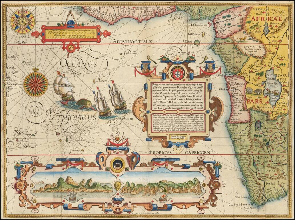
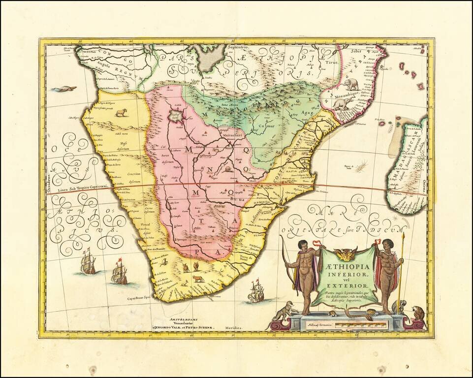
Attractive map of Southern Africa and part of Madagascar, shortly before the first Dutch settlement in the region.
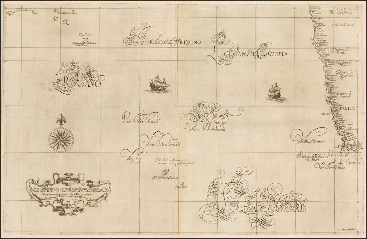
The area shown is from the Congo River basin around the Cape of Good Hope and up the east coast as far as northern present-day Mozambique. Many coastal names are shown, including Mozambique Island which was an important stopover for ships sailing to India and points east. To the north, one of the Ptolemaic lakes thought to be the source of the Nile is shown. Information on the interior is sparse, reflecting the lack of knowledge the Europeans had about the interior of Africa.
Peter Schenk the Elder (1660-1711) moved to Amsterdam in 1675 and began to learn the art of mezzotint. In 1694 he bought some of the copperplate stock of the mapmaker Johannes Janssonius, which allowed him to specialize in the engraving and printing of maps and prints. He split his time between his Amsterdam shop and Leipzig and also sold a considerable volume of materials to London.
Peter Schenk the Elder had three sons. Peter the Younger carried on his father’s business in Leipzig while the other two, Leonard and Jan, worked in Amsterdam. Leonard engraved several maps and also carried on his father’s relationship with engraving plates for the Amsterdam edition of the Histoire de l'Académie Royale des Sciences.
If you are a student, write to us in telegram: @antiquemaps and indicate what material you need and for what work you need a map in high detail. We are ready to provide material on special terms. For students only!