![Amerique Septentrionale divisee en Ses Principales parties . . . . 1692 [California as an Island]](/map/small/69862.jpg)
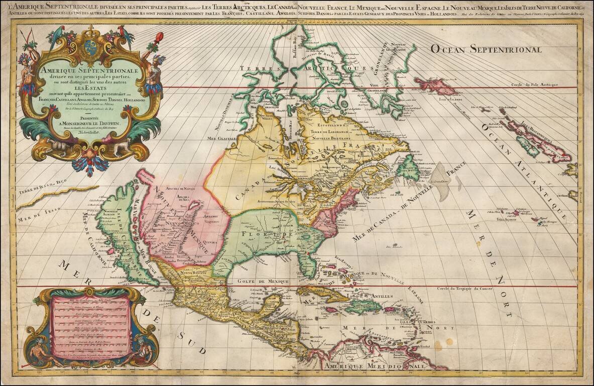
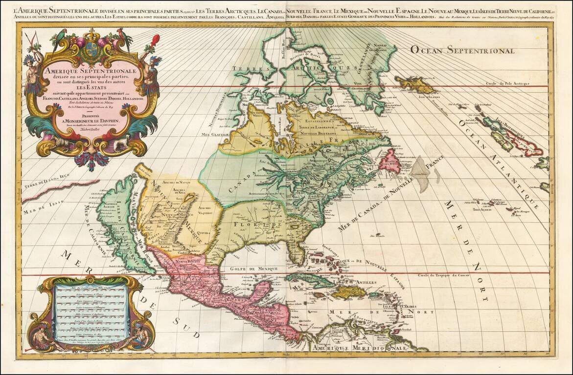
Jaillot’s Impressive Map of North America, with California as an Island Fine, dark impression of Jaillot's striking, large-format map of North America, showing California as an island. The map, printed in a wide-format, shows all that was then...
Jaillot’s Impressive Map of North America, with California as an Island Fine, dark impression of Jaillot's striking, large-format map of North America, showing California as an island. The map, printed in a wide-format, shows all that was then...
Jaillot’s Impressive Map of North America, with California as an Island Fine, dark impression of Jaillot's striking, large-format map of North America, showing California as an island. The map, printed in a wide-format, shows all that was then...
![Carte Particuliere de Virginie, Maryland, Pennsilvanie, La Nouvelle Jarsey. Orient et Occidentale [Heighten in Gold!]](/map/small/61392mp2.jpg)
Heightened with Gold Leaf -- Fine Old Color Fine early large-format chart of Chesapeake Bay and the Delaware Estuary, by Pierre Mortier. This detailed and attractive chart focuses on Chesapeake Bay, and includes all of the Tidewater areas of...
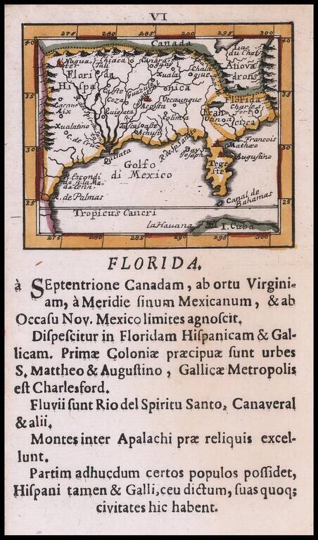
Rare Southeast regional American map, published by Johann Ulrich Muller. Highly coveted miniature map of Florida, the Gulf Coast, Texas, the Mississippi Valley and the Mid-Atlantic, extending northward to Lac du Chat (Ontario?). Excellent detail...
![Parte Occidentale Dell' Europa . . . [and] Parte Orientale Dell' Europa . . . [Coronelli's 2 sheet map of Europe]](/map/small/35480.jpg)
Nice example of Coronelli's 2-sheet map of Europe. The map extends from Iceland (Volcanoes shown) and the coast of North America to is embellished Russia, Ukraine and the Caspian Sea, and includes 2 decorative cartouches, a sea monster being attacked...
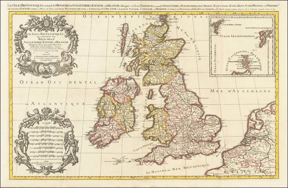
Fine, Detailed Map of the British Isles Decorative, large-format map of the British Isles by Jaillot. Portions of France, Belgium, and the Netherlands are included to the east, separated from England by the Pas de Calais. The Western Isles and the...
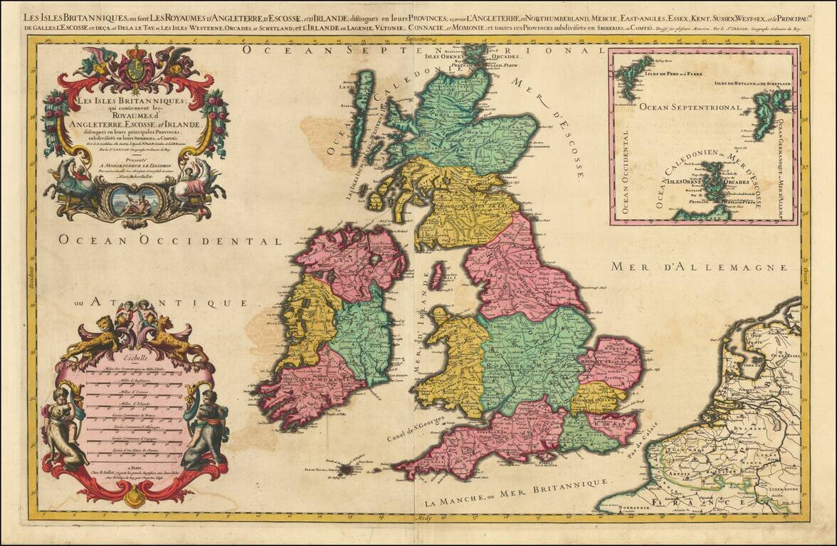
Fine, Detailed Map of the British Isles Decorative, large-format map of the British Isles by Jaillot. Portions of France, Belgium, and the Netherlands are included to the east, separated from England by the Pas de Calais. The Western Isles and the...
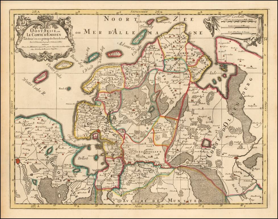
Detailed map of Oost-Friesland (Netherlands) divided into subdivisions and legal jurisdictions. Published in Paris by H. Jaillot circa 1700. Shows major regions and towns such as Oldenburg, Osrtringen, Auricherland, Fredeburg, etc along with roads,...
![[Siege of Namur] De Stad Namen Met alle de Nieuwe Sterkeens 800 als het is Belegerg Door den Koning Willjam de III | Plan de la Ville et Chasteau de Namur Assiegee Par Roy Guiljaume](/map/small/55872.jpg)
Battle Plan of The Siege of Namur in 1695 Rare Battle Plan showing the lines of for forces of King William III during his siege o the City and Castle of Namur. The view shows the lines during the Second Siege of Namur, which resulted in the retaking...
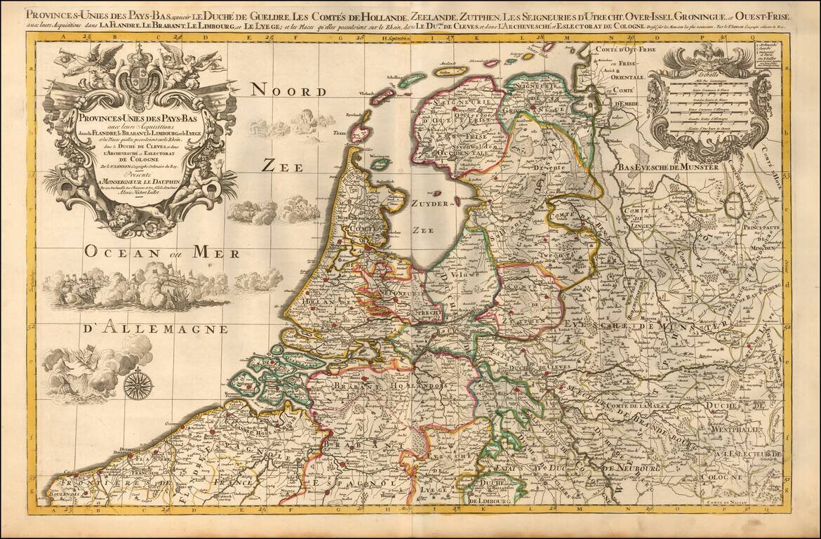
A finely detailed map of the Low Countries, published in Paris. The map illustrates the united provinces of the Low Countries including Flanders, Brabant, Limburg, Lyege, etc. It also notes archdiocese and bishop's palaces throughout the region....
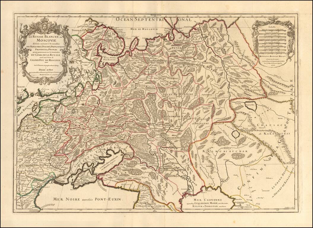
Striking large format map of Russia, extending from the Baltic and Black Seas to Grande Tartarie and the Grande Desert or Desert De Karkkathay, published by Hubert Jaillot. This map of Russia provides a highly detailed picture of European Russia and...
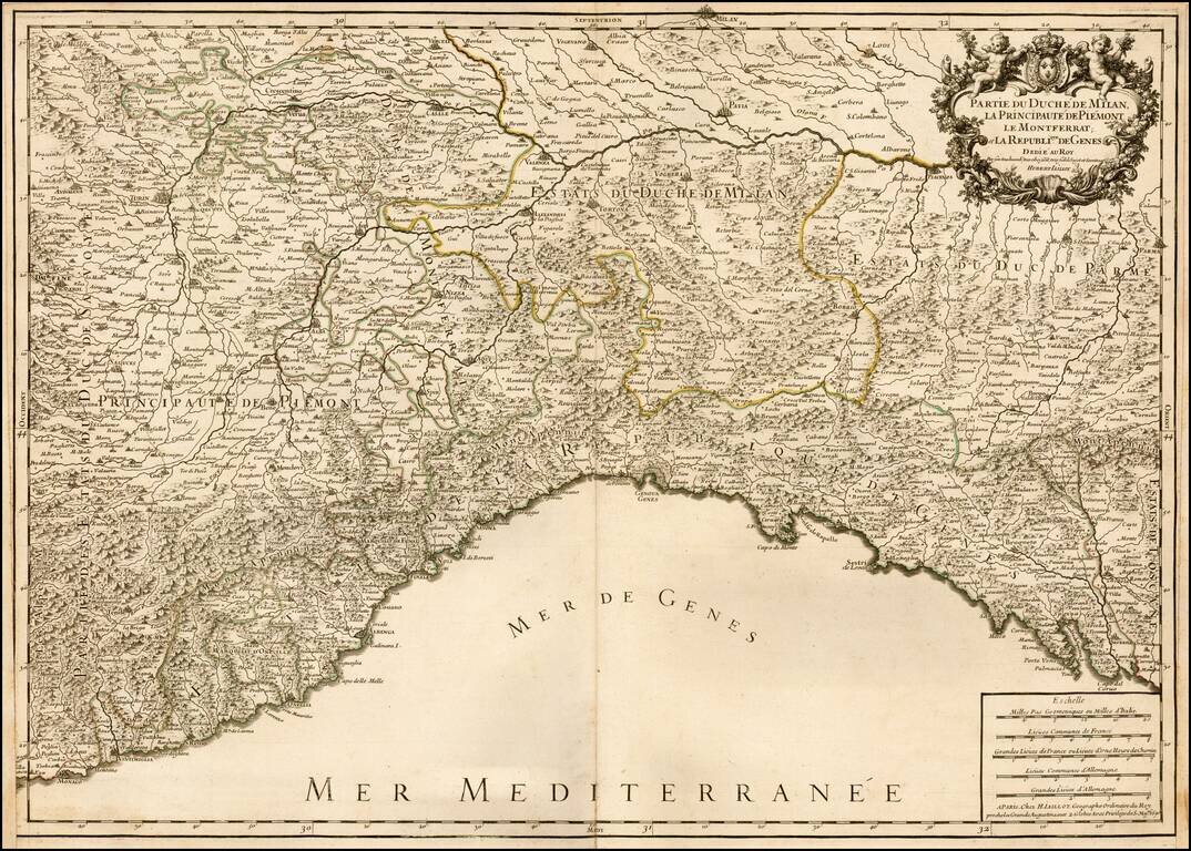
Striking large and highly detailed map of the Italian Mediterranean Coast and extending north to Milan. A fine decorative example with wide clean margins and large cartouche. From Jaillot's monumental atlas.
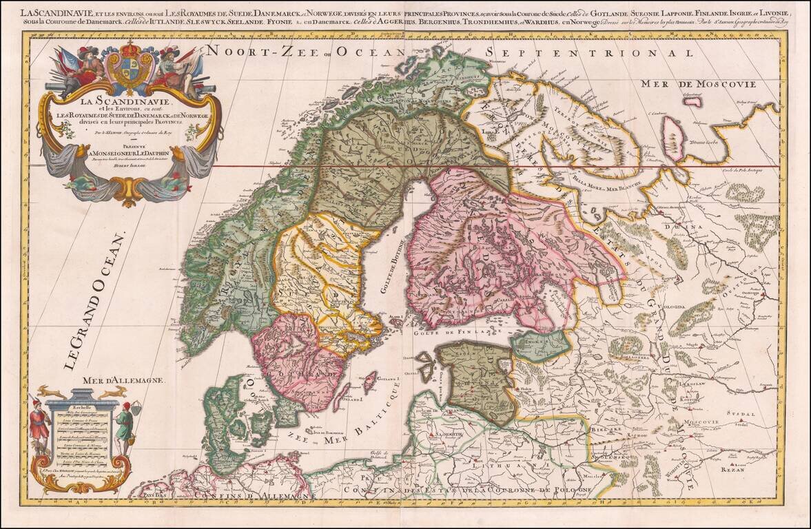
Striking large format map of Scandinavia, published by Hubert Jaillot. First issued in 1674, this two sheet map of the region, based upon the geographical compilations and work of Nicolas Sanson which remained unpublished at the time of his death....
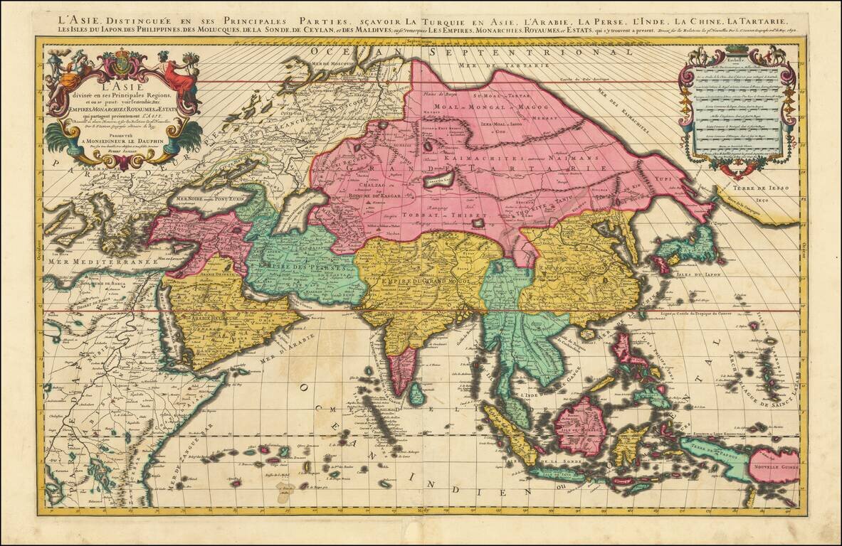
Superb Original Hand-Color Example. Striking large format map of Asia, by Jaillot. Although the imprint line has not been updated, this example was probably published by Mortier in Amsterdam around 1696. The map extends as far east as New Guinea and...
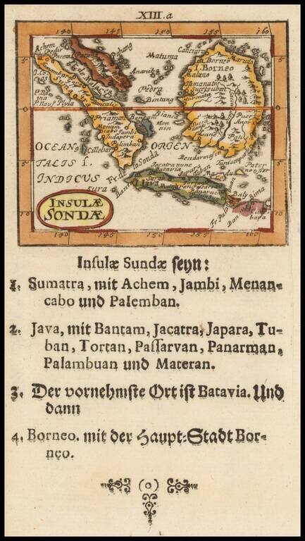
Scarce map of Malaysia, Sumatra, Singapore, Java and Borneo, published by Muller. The maps are based upon a series of miniature maps first published in Paris, by Du Val. Many other interesting features. From one of the rarest and most coveted of all...