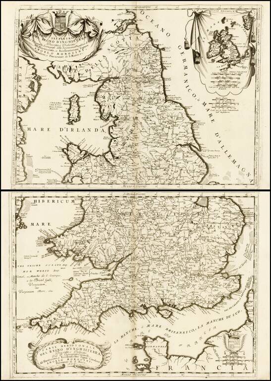
Nice example of Coronelli's attractive and beautifully engraved map of England and Wales. England is divided within the boundaries of the seven ancient Anglo-Saxon kingdoms, and some alternative place names are given (marked with an asterisk) based on...
![[Scotland] Scotia Parte Settentrionale . . . [and] Scotia Partie Meridionale . . .](/map/small/35543.jpg)
Nice example of Coronelli's 2 sheet map of Scotland, including 4 large cartouches and table of counties, towns, etc. Showns towns, mountains, rivers, lakes, islands, bays, churches and other features. One of the most decorative large format 17th...
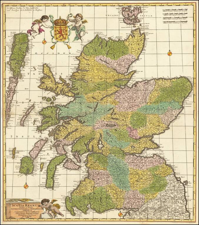
Fine old color example of De Wit's scarce map of Scotland. The map is hand colored by counties, vice counties and other small political subdivisions, and includes tremendous detail. Decorative cartouche and coat of arms.
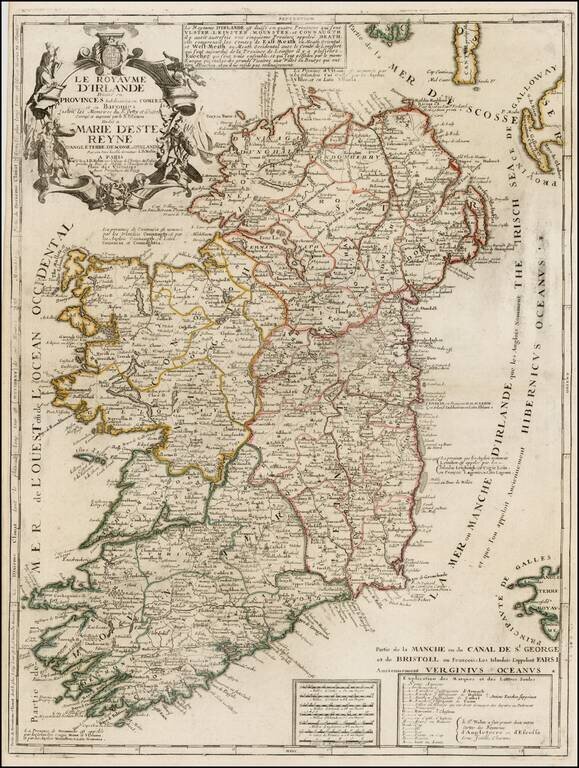
Scarce map of Ireland, published by Nolin. The map is colored by counties and includes an ornate cartouche, dedication to the Queen and a box of explanatory text not present in all editions. Nolin's maps are among the most accurate and well engraved...
![[Course of the Rhine River] Nova Tractus Totius Rheni Oder Neue beschreibung des Rhein-Strom](/map/small/58670.jpg)
David Funck's Edition of the 1621 Wolfgang Kilian Map of the Rhine Fine old color example of David Funke's rare 2 sheet map of the course of the Rhine River, published in Nuremberg. The map extends from Basel at the far left to Dordrecht and the...

Fine old color example of Theodore Danckerts rare map of the Upper Rhine Region, published in Amsterdam. Cartouche surrounded by cherubs.
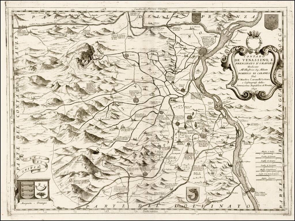
Nice example of this scarce map of Avignon and environs, with north at the bottom, published by Coronelli in his C orso Geogrpaphico. Includes a decorative cartouche and a number of coats of arms. The map shows Coronelli's finely executed...
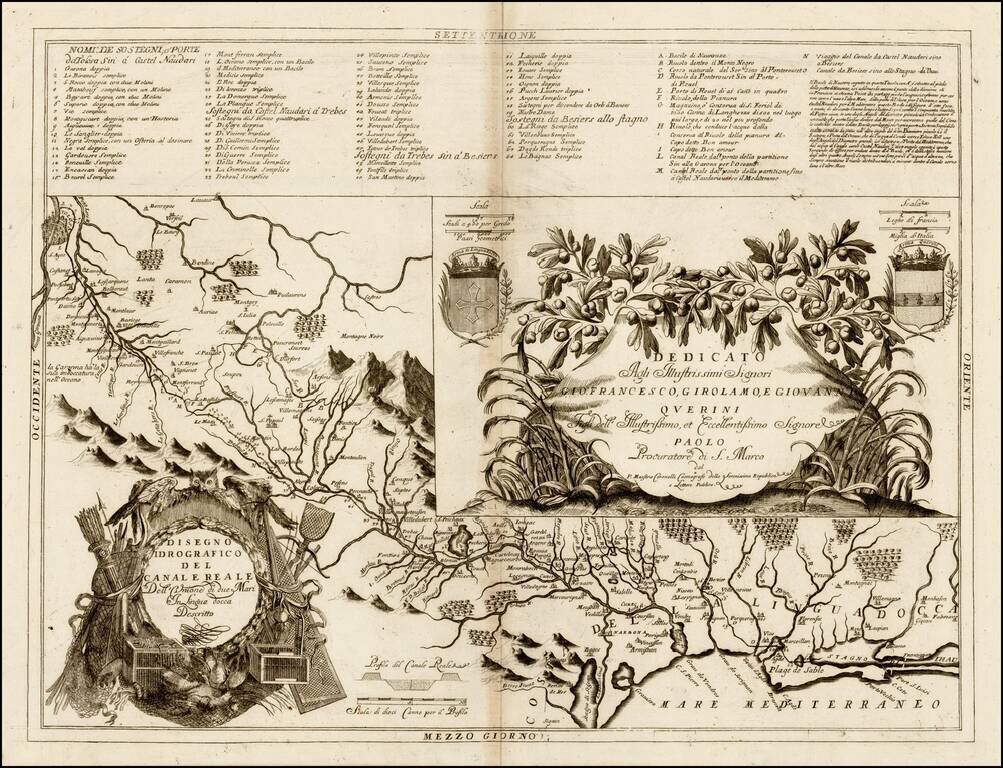
Finely engraved map of the Languedoc Canal, published by Vincenzo Coronelli. Includes decorative cartouche and 2 coats of arms, plus a highly detailed table of locations. Vincenzo Maria Coronelli, a Venetian scholar and Minorite Friar, was one of the...
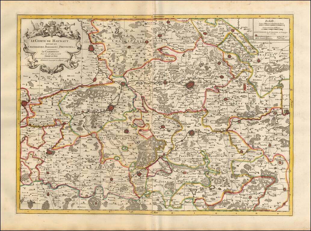
Detailed map of the French Hainaut region, published in Amsterdam. The map includes a second sheet, illustrating 8 fortified towns (2 of Conde, Valenciennes, Maubeuge, Landrecy, Bouchain, Auesnes and Quesnoi) and an Index page. The map shows the...
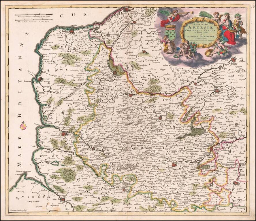
Fine original color example of Justus Danckerts map of Artois, published in Amsterdam.
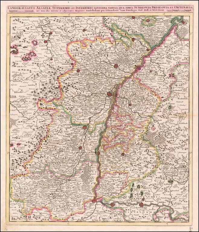
Antique Map of the Upper Rhine Region, Alsace, etc. Detailed map of the Upper Rhine River region, published in Amsterdam. The map extends from Basel, Rheinfeld and Lauffenburg in the south, to Philipsburg and Landau, centered on Landau.
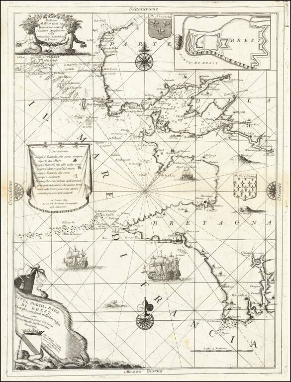
Finely engraved sea chart Bretagne coastline, centered on Brest, published by Vincenzo Coronelli. Includes decorative cartouche, dedication cartouche, coats of arms, compass roses and an inset map of the fortifications in the harbor. Vincenzo Maria...
![[Duke of York's Copy] Le Toulois ou sont Les Chatellenies et Les Prevotes du Temporel de l'Eveche de Toul et de son Chapitre; Partie du Balliage de l'Eveche de Verdun. Le Duche de Barrois ou Balliage de Bar le Duc . . .](/map/small/71292.jpg)
The Duke of York's Copy Nice example of Jaillot's map of the region centered on Bar le Duc, in eastern France, with the bookplate of the Duke of York on the verso. The Duke of York as a Prolific Map Collector Frederick Augustus, Duke of York and...
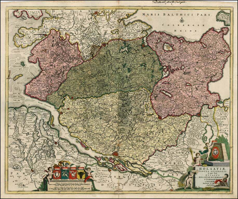
Striking large map, centered on the Hamburg region, showing towns roads, rivers, lakes, islands, etc. Extends north to Sleswygh and east to Lubeck. Large decorative cartouche with a large coat of arms and smaller coats of arms at the top, for each of...
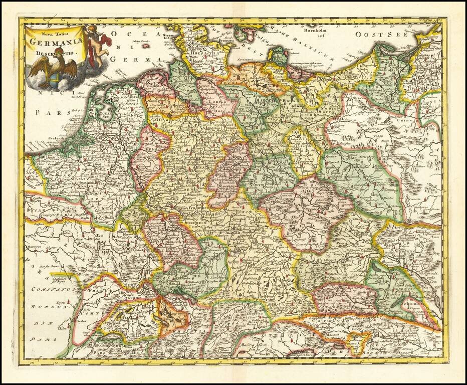
Interesting map of the Holy Roman Empire, including Germany, Poland, Lithuania, the Low Countries, Austria, Hungary, etc. From Cluverius' Introductio in Universam Geographiam (first issued in 1629) and re-issued many times over the next 100 years,...
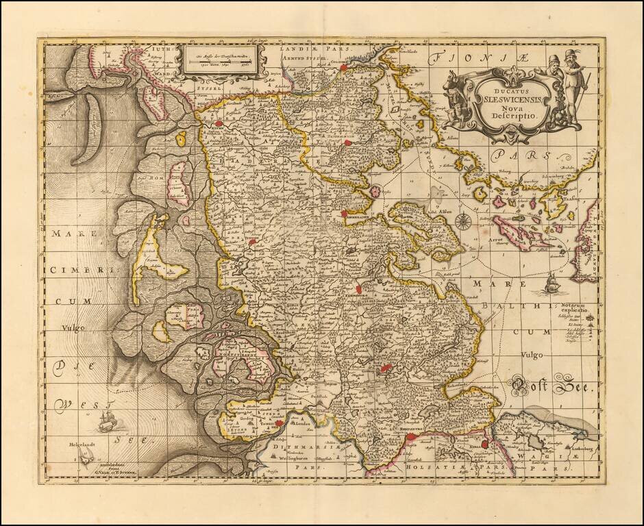
Nice example of Valk & Schenk's detailed map of the Schleiswig-Holstein region, published in Amsteram. Extends from Tonningen, Rendsberg and Kiell in the south to Colding, Rypen and Hadersleben in the north. Other larger towns include Sleswich,...