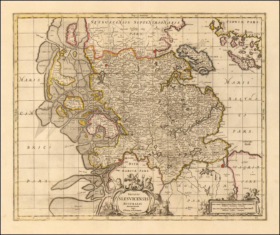
Nice example of Valk & Schenk's detailed map of the Southern part of Schleiswig, published in Amsterdam. Extends from Tonning and Kiell in the south to Tonder and Apenrade in the north. Other larger towns include Sleswich. The detailed depiction...
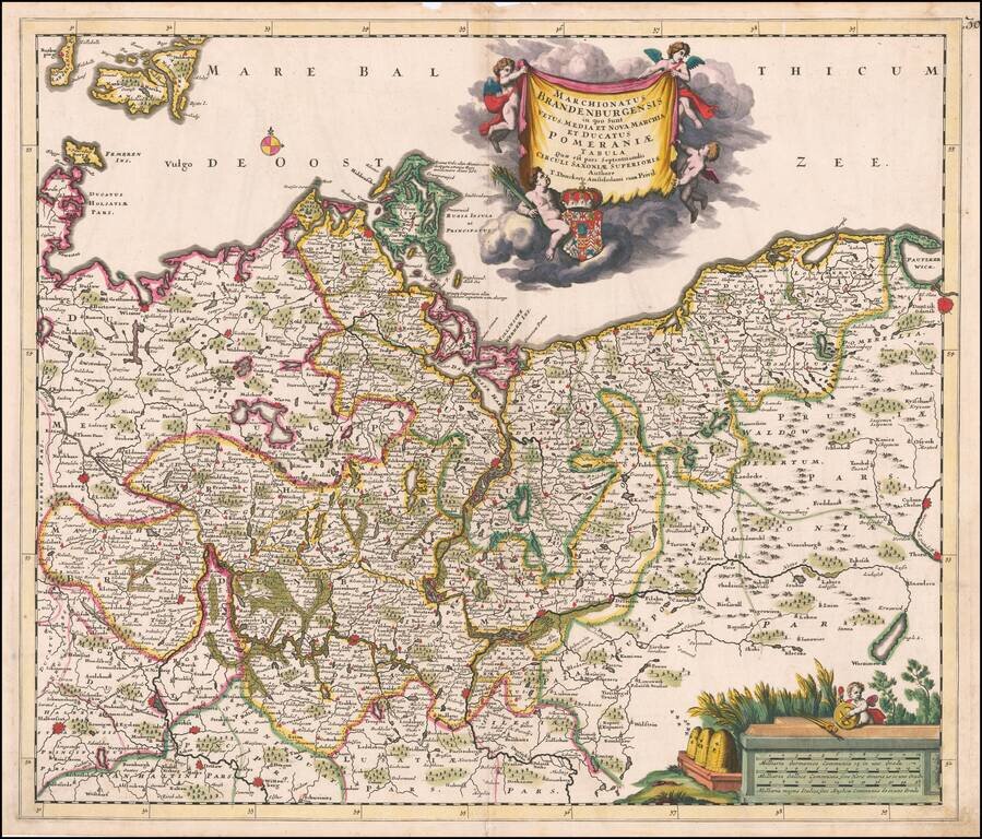
Fine old color example of Theodore Danckerts rare map the Brandenburg and Pomerania regions, published in Amsterdam. Extends east to Dantzig (Gdansk) and Chelm in Poland, to Donneberg and Magdeburg in the west. Cartouches depict coat of arms...
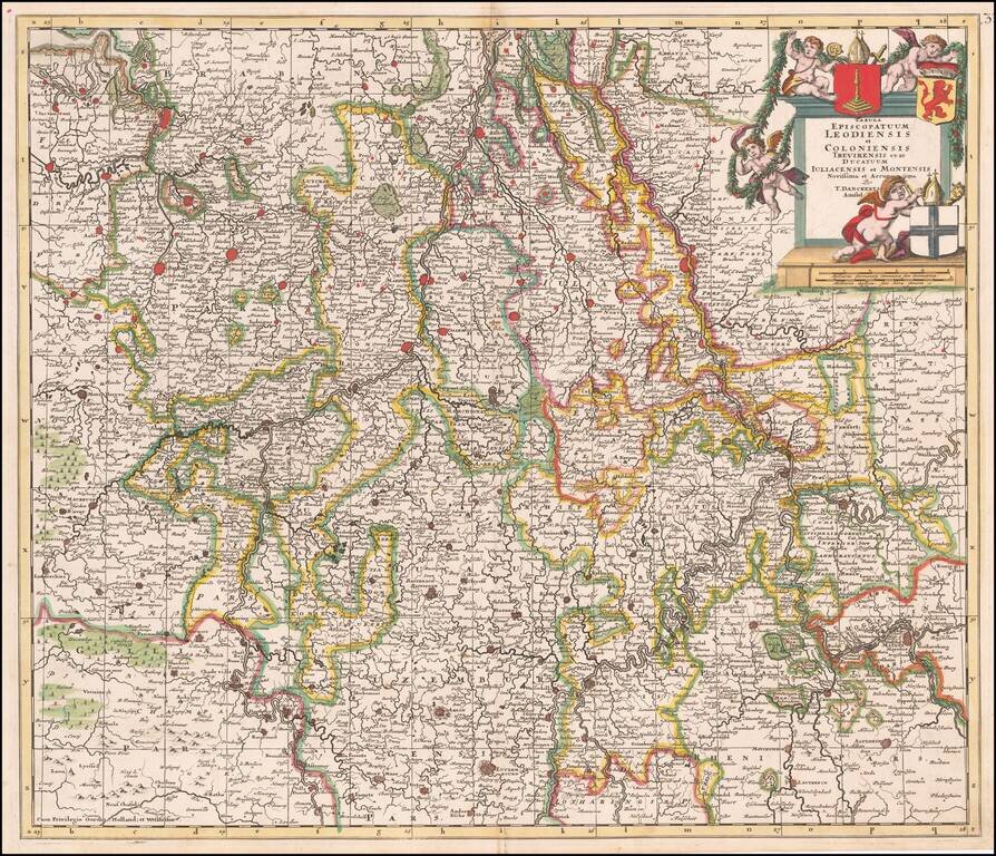
Fine old color example of Theodore Danckert's rare map of the area of the Lower Rhine and Maas Rivers. Major towns on the map include Cologne, Aachen, Bonn, Brussels, Antwerp, Liege, Ghent, Louven, Mechelen, Maastricht, Roermonde, Trier, Coblentz,...
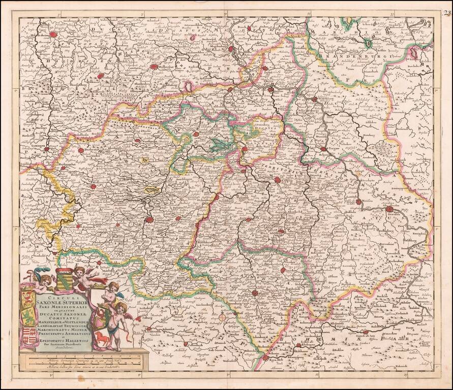
Fine old color map of parts of northcentral and eastern Germany, published by Justus Danckerts. Large cities on the map include: Erfurt Hall Leipzig Dresden Mansfeld Wittenburg Halberstat Magdeburg Mulhausen
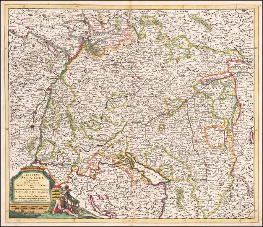
Antique Map of Souabia and Environs Detailed early map of Souabia.
![Moscovia Parte Orientale . . . [with] Parte Occidentale . . .](/map/small/37824.jpg)
Nice example of Coronelli's two sheet map of Russia, extending from the Baltic and the Black Sea in the west to Gran Tartaria in the east. Coronelli's map of Russia is one of the most detailed and elaborate maps of the 17th Century, providing...
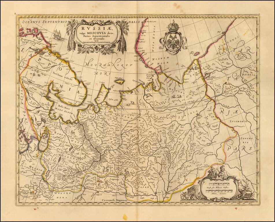
Nice example of the Valk & Schenk's map of the European part of Russia. Includes a Russian Imperial coat of arms and 2 cartouches.
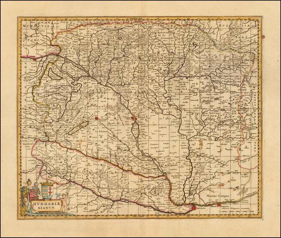
Detailed late 17th Century map of Hungary. Includes decorative cartouche, coat of arms, etc. Originally engraved by Jan Jansson, the copperplate was later acquired by Valk & Schenk. The Valk & Schenk edition is by far the more scarce edition...
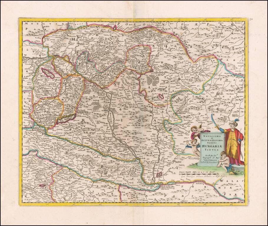
Rare separately published Justus Danckerts map of Hungary, based upon an early map by Pierre Du Val. Du Val original published his map during the Great Turkish War (1683-1699), illustrating the Hapsburg controlled region at a time when the Ottoman...
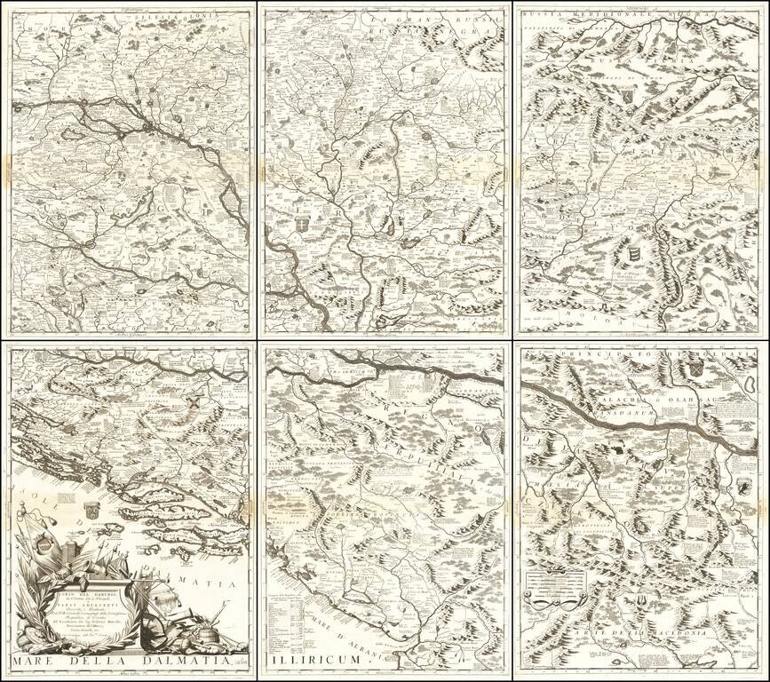
Monumental Six Sheet Map of the Danube Region Nice example of Vincenzo Maria Coronell's magnificent 6-sheet map of the course of the Danube River from Vienna to Nikopolje, published in Venice. The map is a remarkable compendium of information...
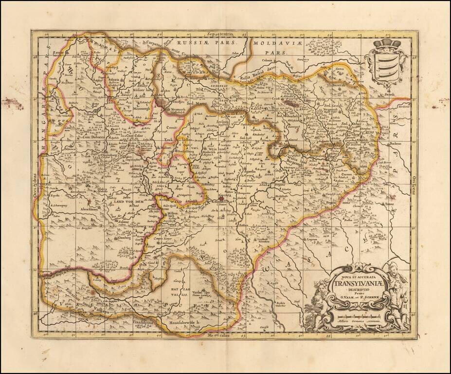
Finely executed map of Transylvania, originally published in 1665 for Jansson's Atlas Maior, and later acquired by Schenk and Valk. One of the earliest separately published maps of Transylvania.
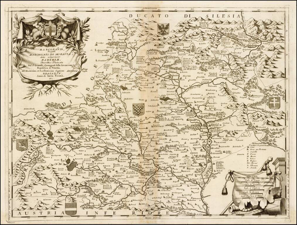
Finely engraved map of Moravia, published by Vincenzo Coronelli. Includes decorative cartouche and multiple coats of arms. Vincenzo Maria Coronelli, a Venetian scholar and Minorite Friar, was one of the most celebrated map and globe makers of his era....
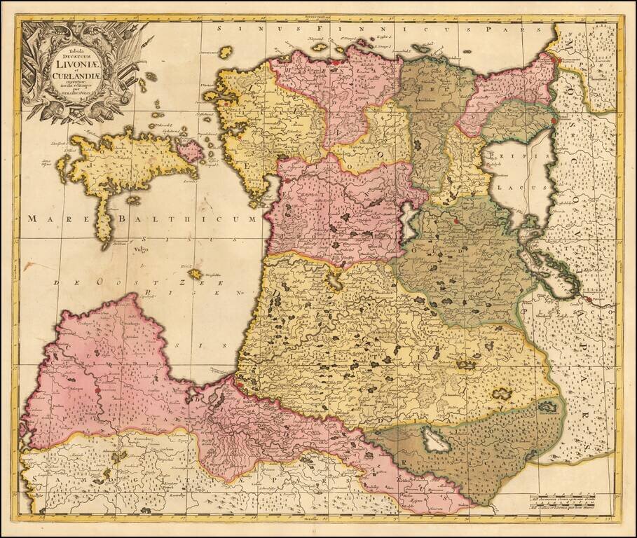
Scarce Gerard Valk map of the northern Baltic coast, in old color. A rare Valk imprint, printed on double thick paper, with wide margins and old color.
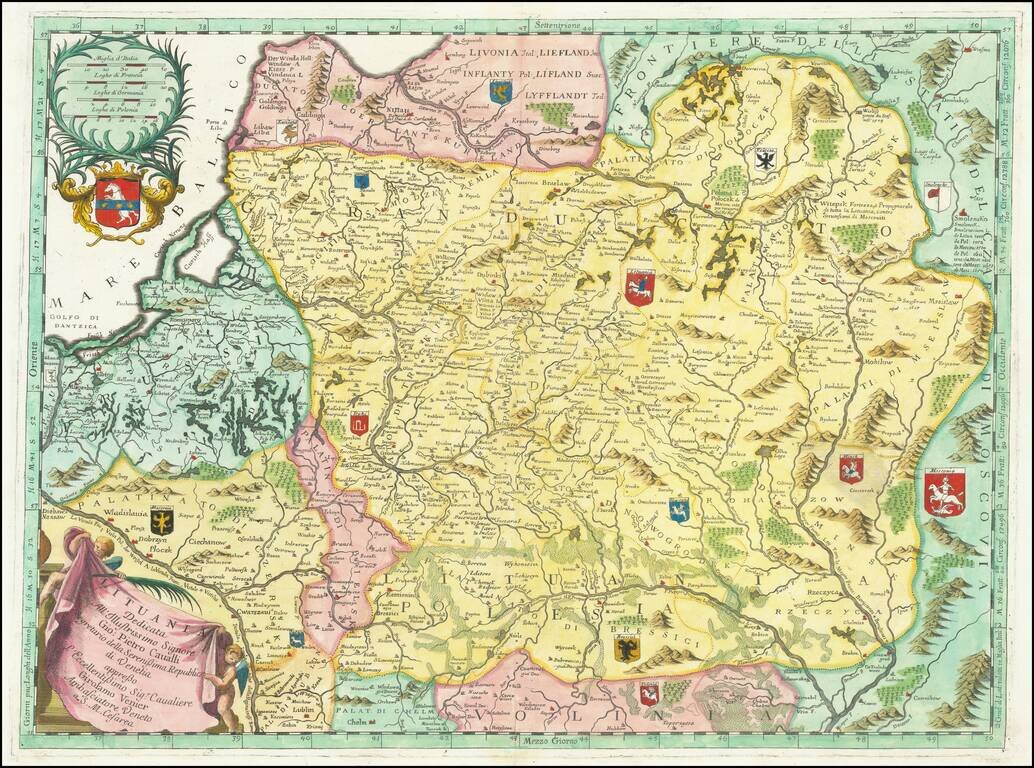
Full color example of Coronelli's scarce and very attractive detailed map of Lithuania. The map covers Lithuania and parts of Poland and the Baltic and includes numerous coats of arms in the body of the map and two large decorative cartouches.
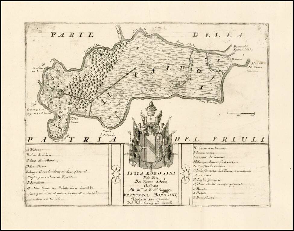
Fine example of this very rare map of the Isola Morosini, formed by the area between the Lisonzo River and Sdoba River. The map is dedicated to Francesco Morosini and includes the family coat of arms and a key locating approximately 20 places on the...
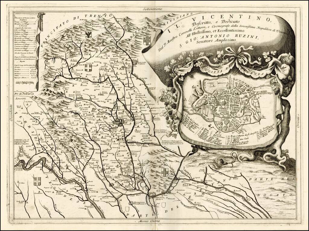
Fine depiction of part of The territory of Vicenza, published in Venice by Coronelli. The map provides a remarkable depiction of the rivers, mountains and valleys, in the region, extending from the Alpine regions to the rivers draining toward the Gulf...