
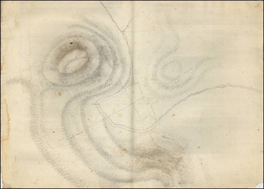
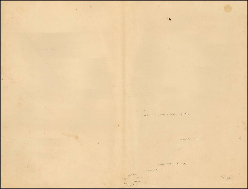
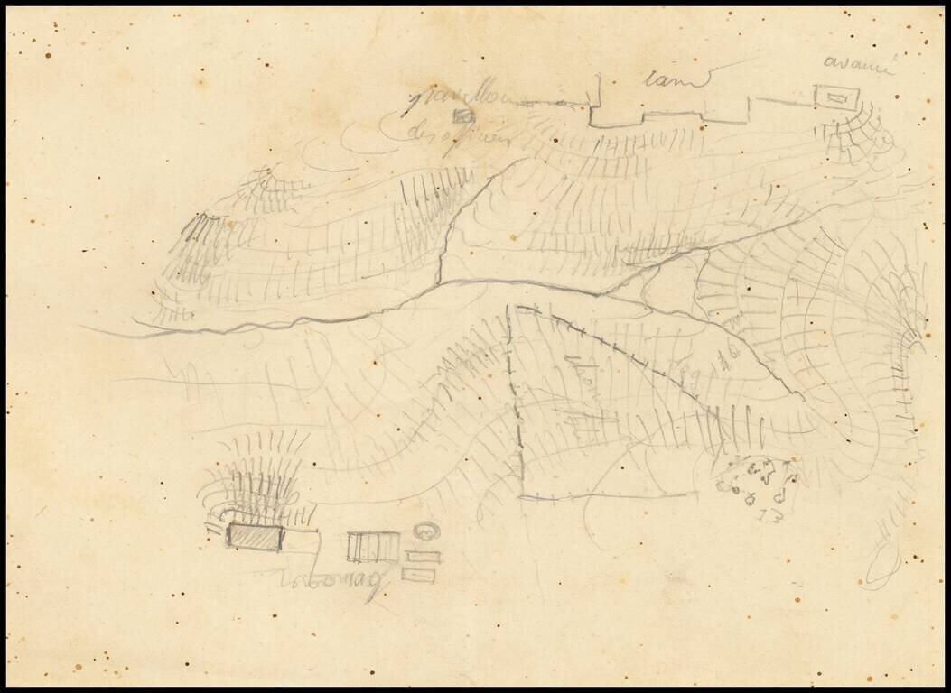
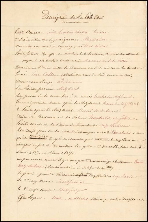
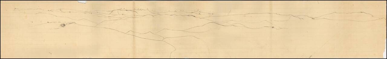
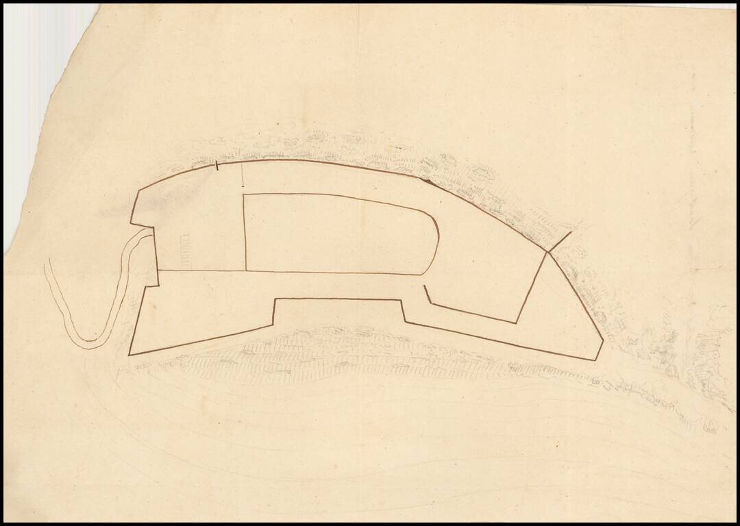
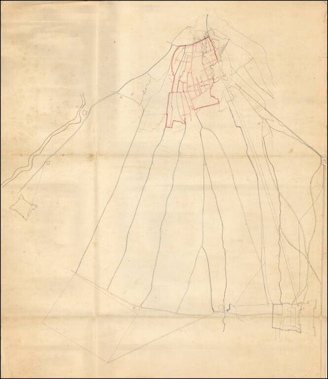
Remarkable Manuscript Collection of the French Invasion of Algeria, From the Collection of the Duke of Orléans Striking collection of 46 manuscript maps, and a few documents, showing northern Algeria. The maps date from the French invasion of Algeria...
Remarkable Manuscript Collection of the French Invasion of Algeria, From the Collection of the Duke of Orléans Striking collection of 46 manuscript maps, and a few documents, showing northern Algeria. The maps date from the French invasion of Algeria...
Remarkable Manuscript Collection of the French Invasion of Algeria, From the Collection of the Duke of Orléans Striking collection of 46 manuscript maps, and a few documents, showing northern Algeria. The maps date from the French invasion of Algeria...
Remarkable Manuscript Collection of the French Invasion of Algeria, From the Collection of the Duke of Orléans Striking collection of 46 manuscript maps, and a few documents, showing northern Algeria. The maps date from the French invasion of Algeria...
Remarkable Manuscript Collection of the French Invasion of Algeria, From the Collection of the Duke of Orléans Striking collection of 46 manuscript maps, and a few documents, showing northern Algeria. The maps date from the French invasion of Algeria...
Remarkable Manuscript Collection of the French Invasion of Algeria, From the Collection of the Duke of Orléans Striking collection of 46 manuscript maps, and a few documents, showing northern Algeria. The maps date from the French invasion of Algeria...
Remarkable Manuscript Collection of the French Invasion of Algeria, From the Collection of the Duke of Orléans Striking collection of 46 manuscript maps, and a few documents, showing northern Algeria. The maps date from the French invasion of Algeria...

Remarkable Manuscript Collection of the French Invasion of Algeria, From the Collection of the Duke of Orléans Striking collection of 46 manuscript maps, and a few documents, showing northern Algeria. The maps date from the French invasion of Algeria...
![[South Africa] Tab. Mo.. Secundae Partis Aphricae](/map/small/50957.jpg)
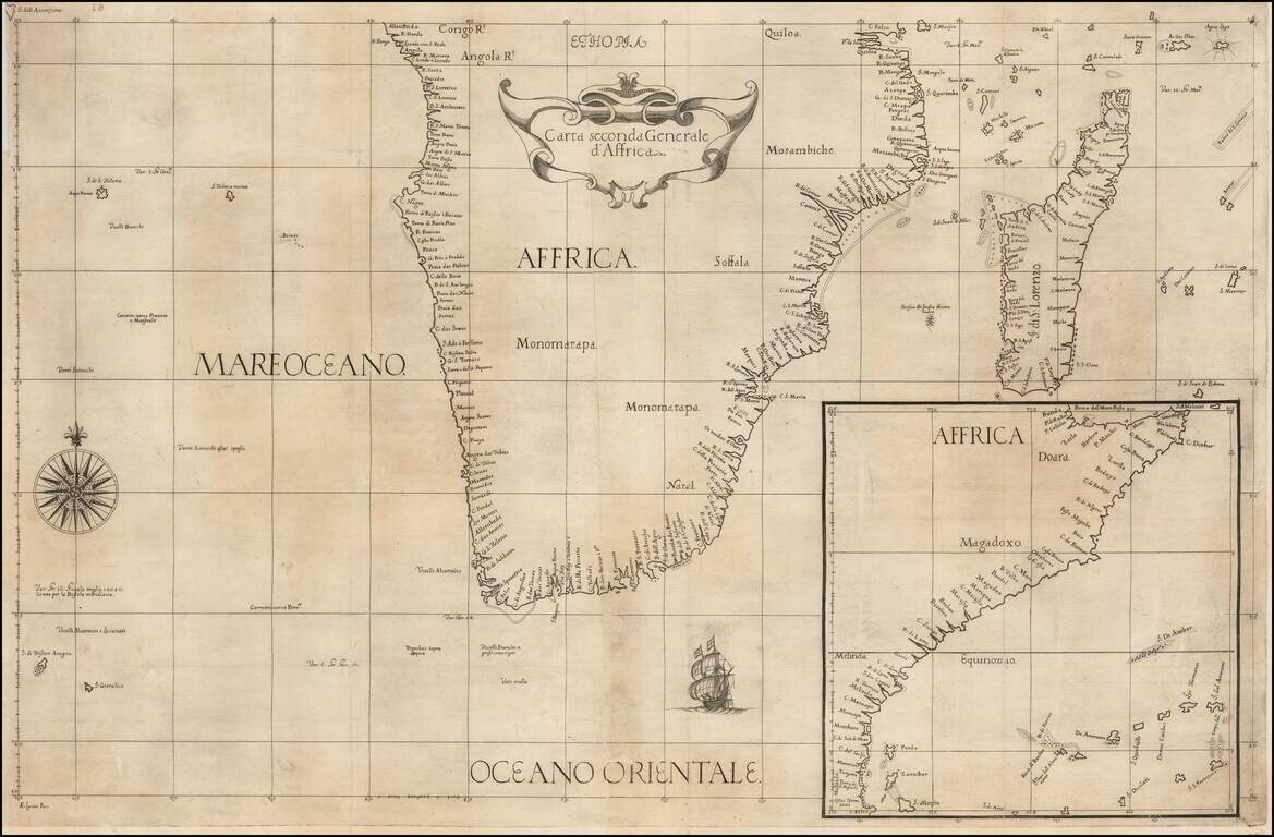
Second Modern Map of Southern Africa—Rare, Early Map From an Early Edition of Ptolemy’s Geographia Fine map of Southern Africa, one of the earliest obtainable printed maps of the area, from Lorenz Fries’ 1525 edition of Ptolemy’s Geographia....
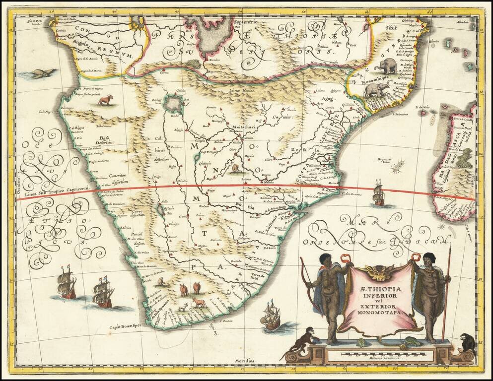
Attractive map of Southern Africa and part of Madagascar, shortly before the first Dutch settlement in the region. The area shown is from the Congo River basin around the Cape of Good Hope and up the east coast as far as northern present-day...
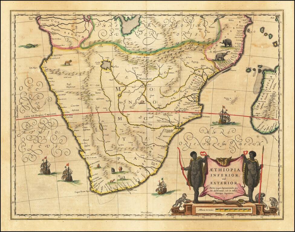
Attractive map of Southern Africa and part of Madagascar, shortly before the first Dutch settlement in the region. The area shown is from the Congo River basin around the Cape of Good Hope and up the east coast as far as northern present-day...
![[South Africa] Carta Particolare che Comincia con il Capo Degortam e con il Capo Buona Speranza e Finisce in Gradi 27 di Latitudine Austral](/map/small/47585.jpg)
Fine example of the first state of Robert Dudley's chart of the coast of South Africa, the earliest obtainable sea chart of South Africa. As noted by Parry in Printing & The Mind of Man, "In the genre of sea charts it is Sir Robert Dudley...
![[Southwest Africa] Carta Particolare che Comincia con il Capo Aldea e Finisce con il Capo Degortam](/map/small/46975.jpg)
Fine example of the second state (L°6°) of Robert Dudley's chart of the coast of Southwestern Africa, the earliest obtainable sea chart of the region. The map shows the coastline of Namibia and Angola, with the Tropic of Capricorn running through...
Fine example of Robert Dudley's chart of the coast of southern Africa, the earliest obtainable sea chart of the general region. The map covers the area south of the entrance to the Congo River, around the Cape of Good Hope, to Isle Monfin (Mafia...
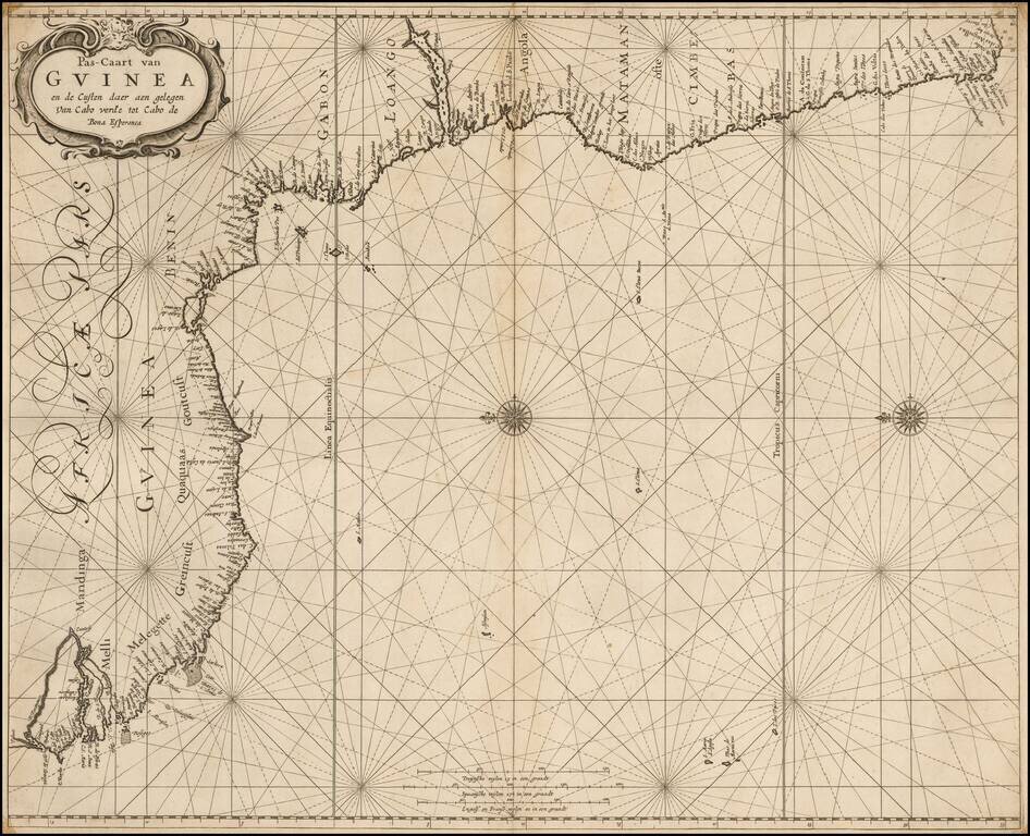
A rare sea chart from one of the great nautical atlases of the Dutch Golden Age of cartography: De Zee-Atlas Ofte Water-Weereld. The map captures the west African coast from the Gambia River in the north (here called R. Portugues) to roughly Cape St....
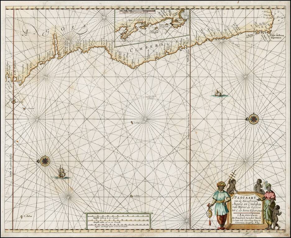
Early edition of Doncker's sea chart of the West Coast of Africa, from Angola to the Cape of Good Hope, with a larger inset map of the area from St. Martin's Bay to the Cape of Good Hope. Hendrik Doncker was a famous bookseller in Amsterdam, who...