Paolo Santini (1729-1793) was an Venetian engraver known especially for his religious prints and fine cartographic engravings. He published in Venice and may have a been a member of the clergy. In his maps, he largely adopted and adapted the work of his French counterparts, especially the brothers de Vaugondy.
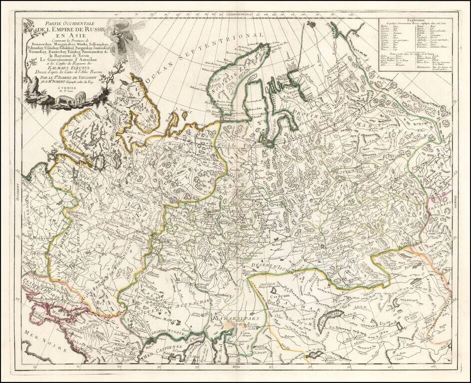
Highly detailed map of the Western Part of Russia, extending South to the Caspian and East to Irkurkoy and Ilimskoy. The map is drawn from the Atlas of Russia compiled under the direction of Joseph Nicolas De L'Isle in St. Petersburg.
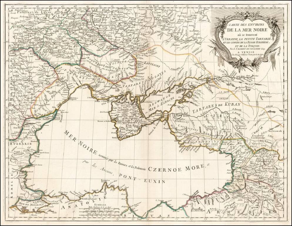
Scarce regional map centered on the Black Sea, published in Venice by Francois Santini. One of the most detailed maps of the region published in the mid-18th century.
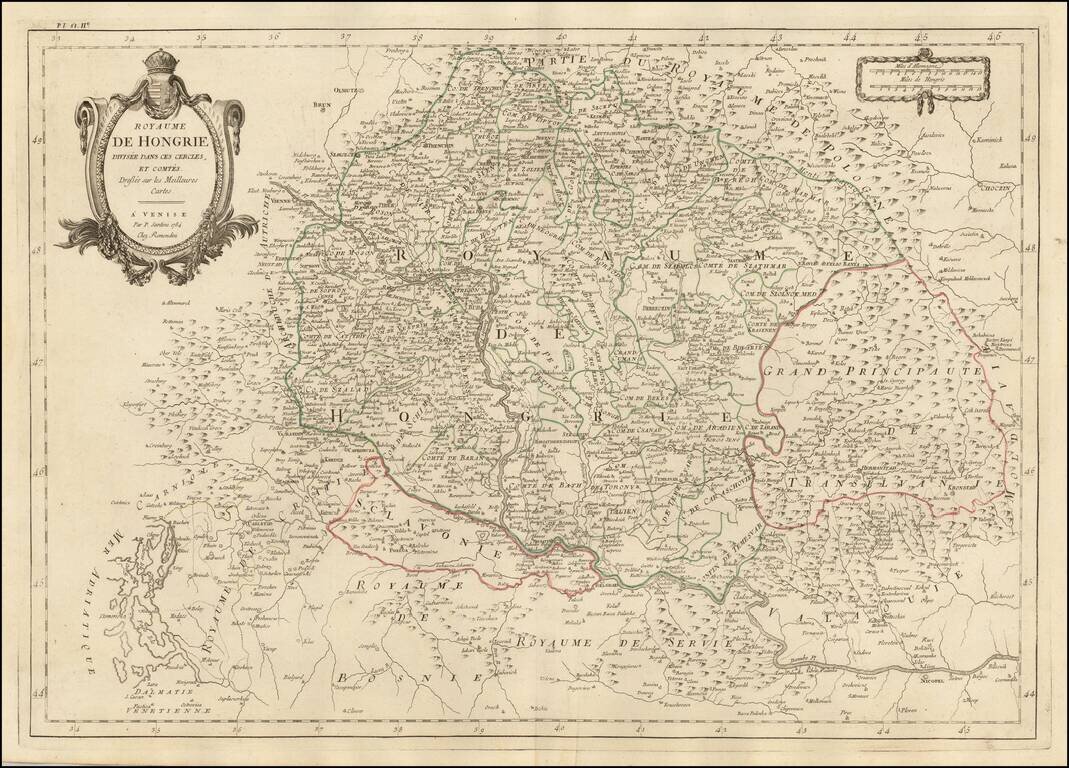
Finely detailed map of Hungary and adjoining regions, published in Venice by Santini. The map follows the course of the Danube from Vienna in the west to Nicopel (Nikopol, Bulgaria), and to the southwest, the Dalmatian Coastline. Includes large parts...
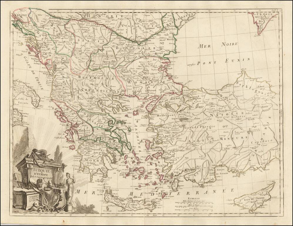
Scarce regional map centered on Greece, Turkey, The Balkans and the Black Sea, published in Venice by Francois Santini. One of the most detailed maps of the region published in the mid-18th century.
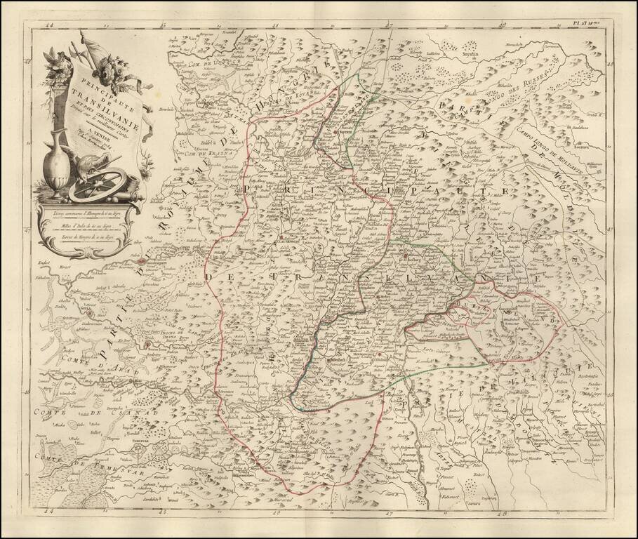
Fine outline hand-colored engraved map of Transylvania, by the Venetian cartographer Paolo Santini. Santini frequently republished maps by the major 18th century French cartographers, Delisle and de Vaugondy. Very decorative cartouche with flowers...
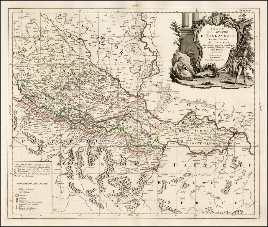
Fine map of Slovenia, published in Venice by Paolo Santini. The map is dissected by the Danube River and shows the region south and west of the Danube, extending south to Bosnia and part of Serbia but with greatest focus on the region north on the...
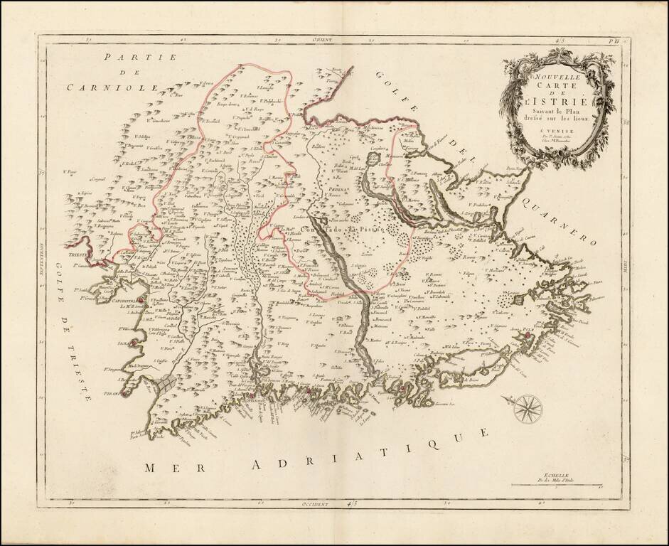
Scarce regional map of Istria, published in Venice by Francois Santini. Unlike many of the maps in Santini's atlas, this regional map of Italy is not drawn from De Vaugondy and is based upon Italian sources. One of the most detailed maps of the...
![Partie Meridionale du Royaume De Naples ou se trouvent La Calabre et L'Isle et Royaume de Sicile . . . 1779 [with] Supplement pur L'Isle De Malte](/map/small/35618.jpg)
Striking map of Sicily, Naples and contiguous islands, with a large inset of Malta, published in Venice. Includes towns, mountains, rivers, lakes and a host of other details. Decorative cartouche. Santini's maps are largely based upon De Vaugondy's...
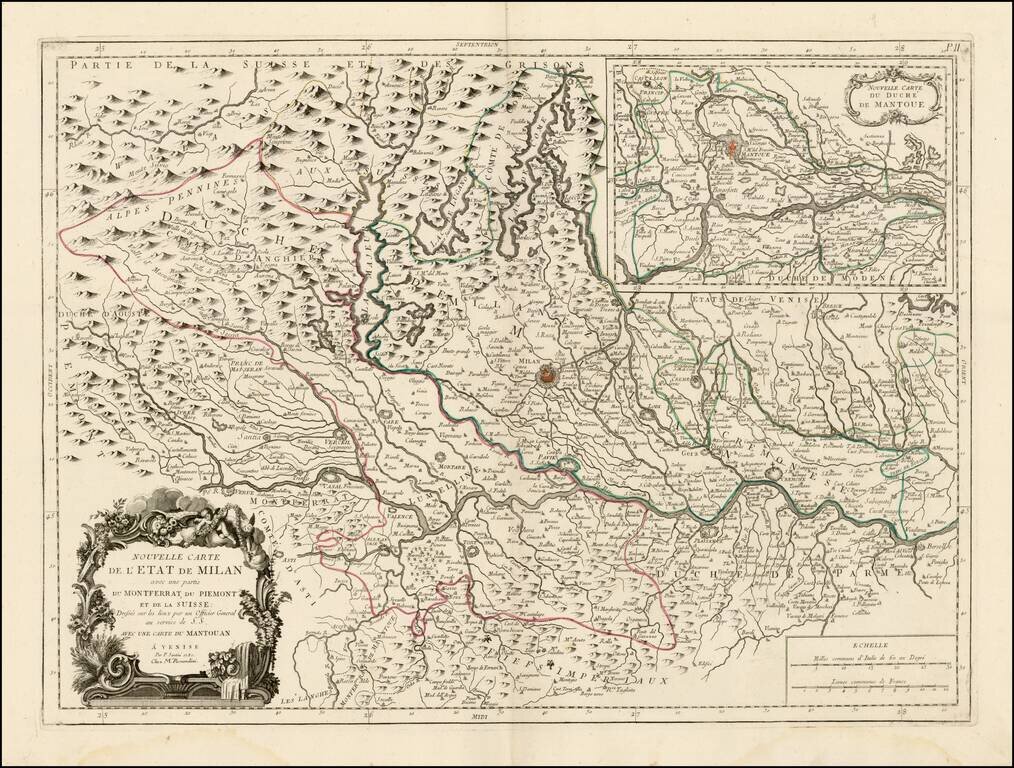
Scarce regional map of the State of Milan and environs, published in Venice by Francois Santini. Unlike many of the maps in Santini's atlas, this regional map of Italy is not drawn from De Vaugondy and is based upon Italian sources. Includes a large...
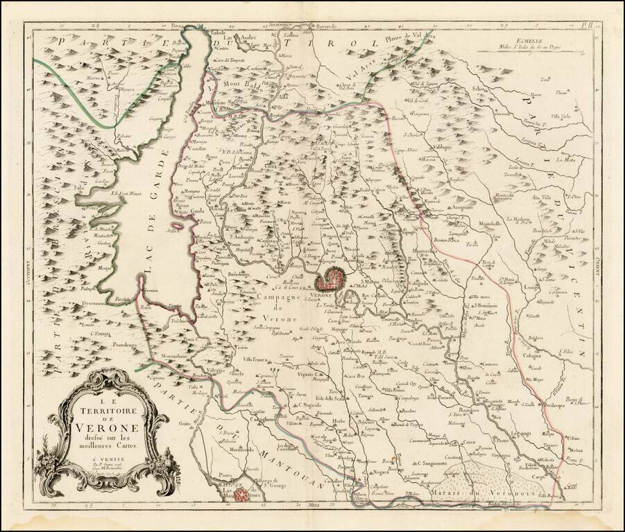
Scarce regional map of the Territory of Verona and environs, published in Venice by Francois Santini. Unlike many of the maps in Santini's atlas, this regional map of Italy is not drawn from De Vaugondy and is based upon Italian sources. One of the...
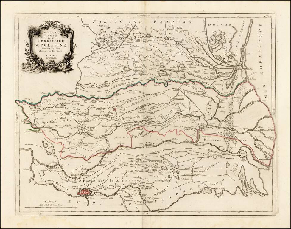
Scarce regional map of the Territory of Polesine and environs, published in Venice by Francois Santini. The map shows the lower Po River region ending to the south of Venice. Unlike many of the maps in Santini's atlas, this regional map of Italy is...
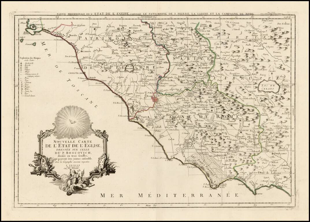
Scarce regional map of the State of the Church (Rome at the center) and environs, published in Venice by Francois Santini. Unlike many of the maps in Santini's atlas, this regional map of Italy is not drawn from De Vaugondy and is based upon Italian...
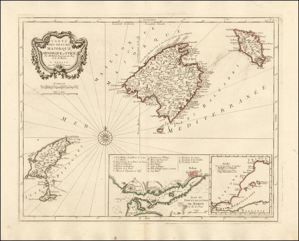
Nice example of the Paolo Santini edition of Nicolas Bellin's map of the Balearic Islands. Includes a map of Mahon Harbour and the position of the islands against the coast of Spain. A fine highly detailed map of Majorca, Menorca and Ibiza.
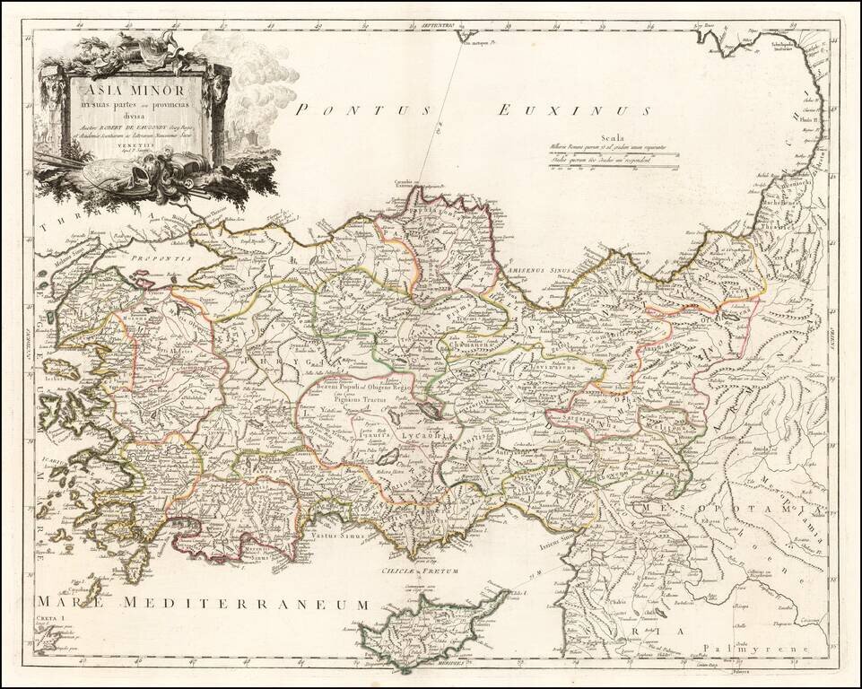
Detailed map of Cyprus, Asia Minor and contiguous Islands and the Black Sea region, from Paola Santini's large atlas, published in Venice.
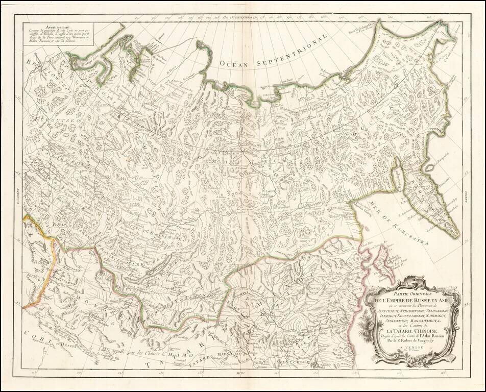
Interesting highly detailed map showing Central Asia, Russian Asia, Mongolia, etc. and extending southwest to the Gobi Desert and east to Kamchatka and the Northeast Passage. Based upon source material from De Vaungondy and De L'Isle's Russian Atlas.
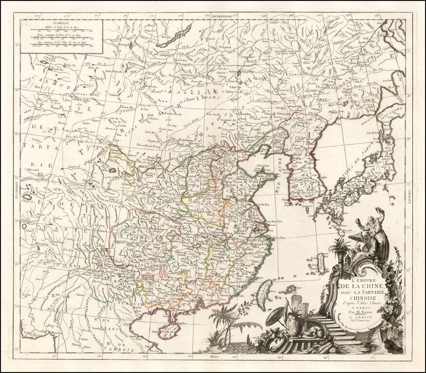
Fine large format map of China, based in part on information derived from Bonne's Atlas of China. The map shows all of China, with outline color for the provinces, and a decorative thematic cartouche.