Map size in jpg-format: 1.37643MiB
Click to open in high resolution (open in new tab).
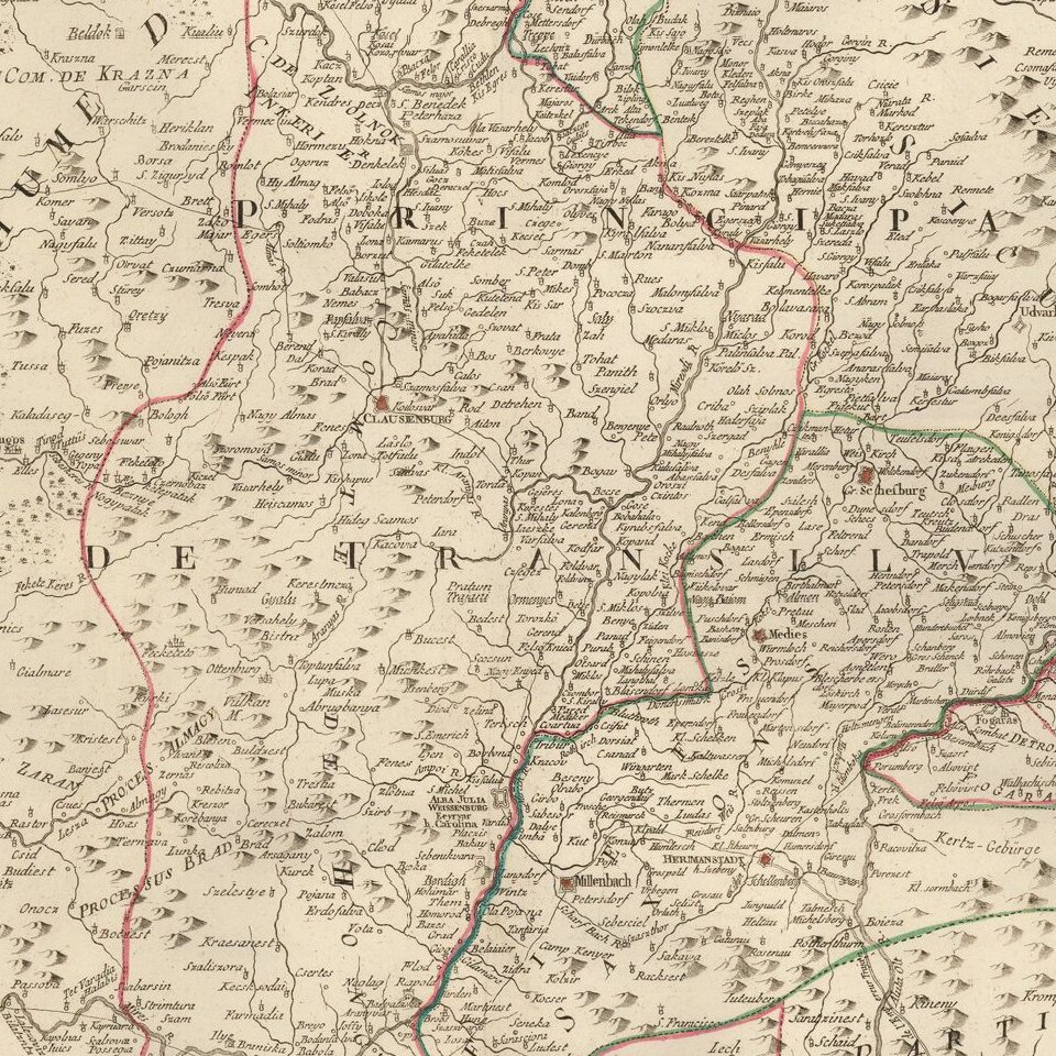
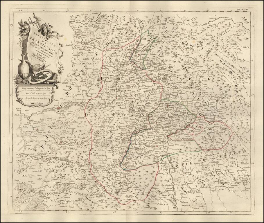
Fine outline hand-colored engraved map of Transylvania, by the Venetian cartographer Paolo Santini.
Santini frequently republished maps by the major 18th century French cartographers, Delisle and de Vaugondy.
Very decorative cartouche with flowers and implements of war.
Paolo Santini (1729-1793) was an Venetian engraver known especially for his religious prints and fine cartographic engravings. He published in Venice and may have a been a member of the clergy. In his maps, he largely adopted and adapted the work of his French counterparts, especially the brothers de Vaugondy.
If you are a student, write to us in telegram: @antiquemaps and indicate what material you need and for what work you need a map in high detail. We are ready to provide material on special terms. For students only!
![Pomeraniae, Wandalicae Regionis Typ [with] Livoniae Nova Descriptio [with] Ducatus Oswieczensis, et Zatoriensis, Descriptio](/map/small/43172.jpg)