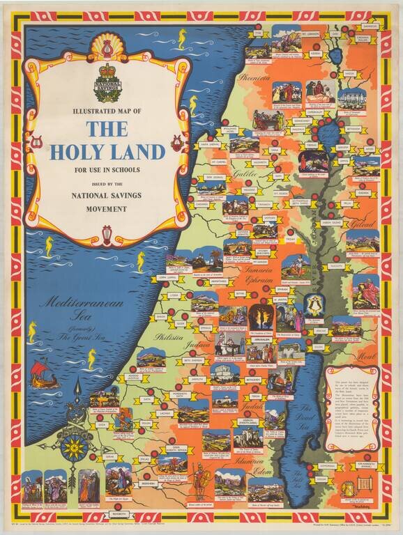
Fine pictorial / historical map of the Holy Land, issued by the National Savings Movement. We note that the map is signed by Mahoney, whose name appears on at least one other poster published by the National Savings Movement. A wide range of printed...
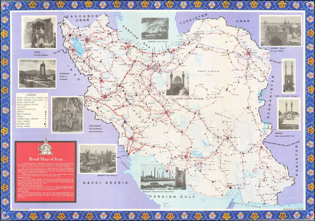
Detailed tourist map of Iran, published in Tehran. The map is focused on transportation around Iran, noting: First Class Roads (Tarmac) Second Class Roads (Dust) Third Class Roads Road Caravan Tracks Railways Projected Railways International...
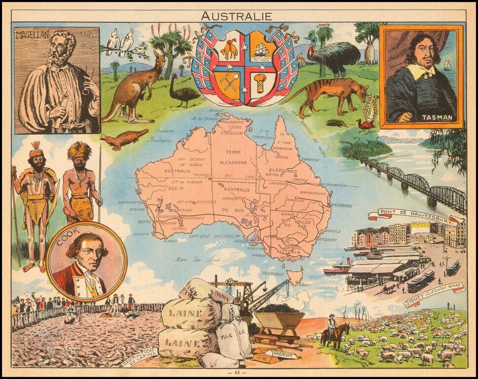
Decorative pictorial map of Australia, published by Children's book artist JP Pinchon.
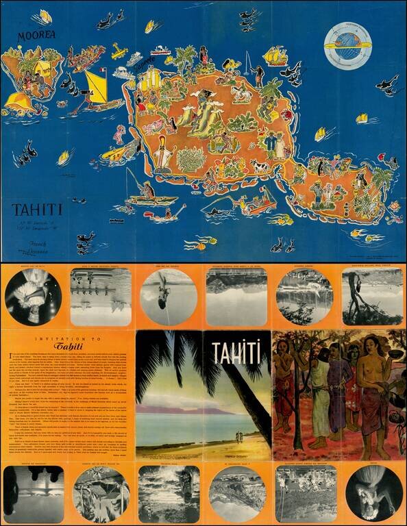
Decorative pictorial map of Tahiti, drawn by Jean Rousaute for Le Syndicat d'Initiative de Tahiti in Paris. The map shows a colorful look at the peoples, wildlife, and tourists found around Tahiti.