logo

1950. Road Map of Irlan

  • Road Map of Irlan
  • Road Map of Irlan

Map size in jpg-format: 53.434MiB

Download "Road Map of Irlan", in high resolution.

Road Map of Irlan information:

Year of creation: 
Resolution size (pixels): 
 16289x11420 px
Disk Size: 
 53.434MiB
Number of pages: 
 2
Place: 
 Tehran

Print information. Print size (Width x height in inches):
Printing at 72 dpi 
  226.24 х 158.61
Printing at 150 dpi 
 108.59 х 76.13
Printing at 300 dpi 
 54.3 х 38.07

An example of detailing the file of this map of in a printable high-resolution:

Click to open in high resolution (open in new tab).
Attention! this is just the central piece (central area 960x960 px) of the map file!
This is an example, so that you can see and study the level of detail of a given map. The entire Map will be fully available after payment!

Road Map of Irlan

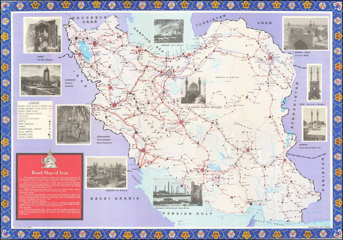
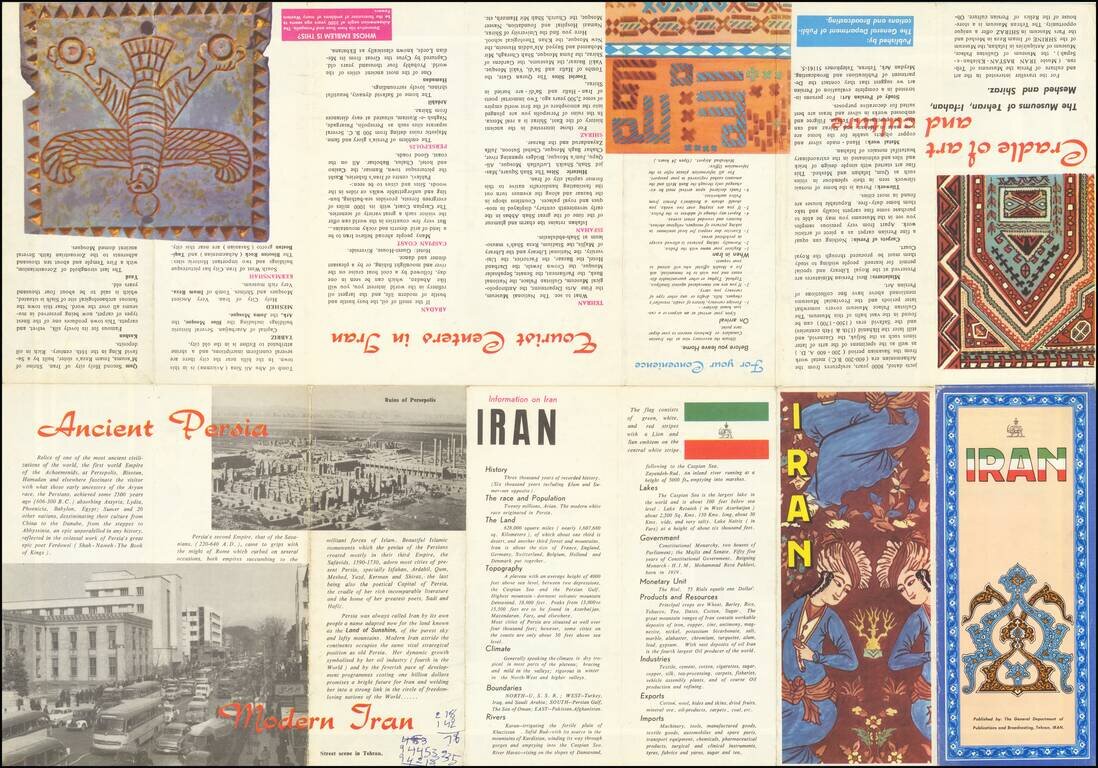
Detailed tourist map of Iran, published in Tehran.

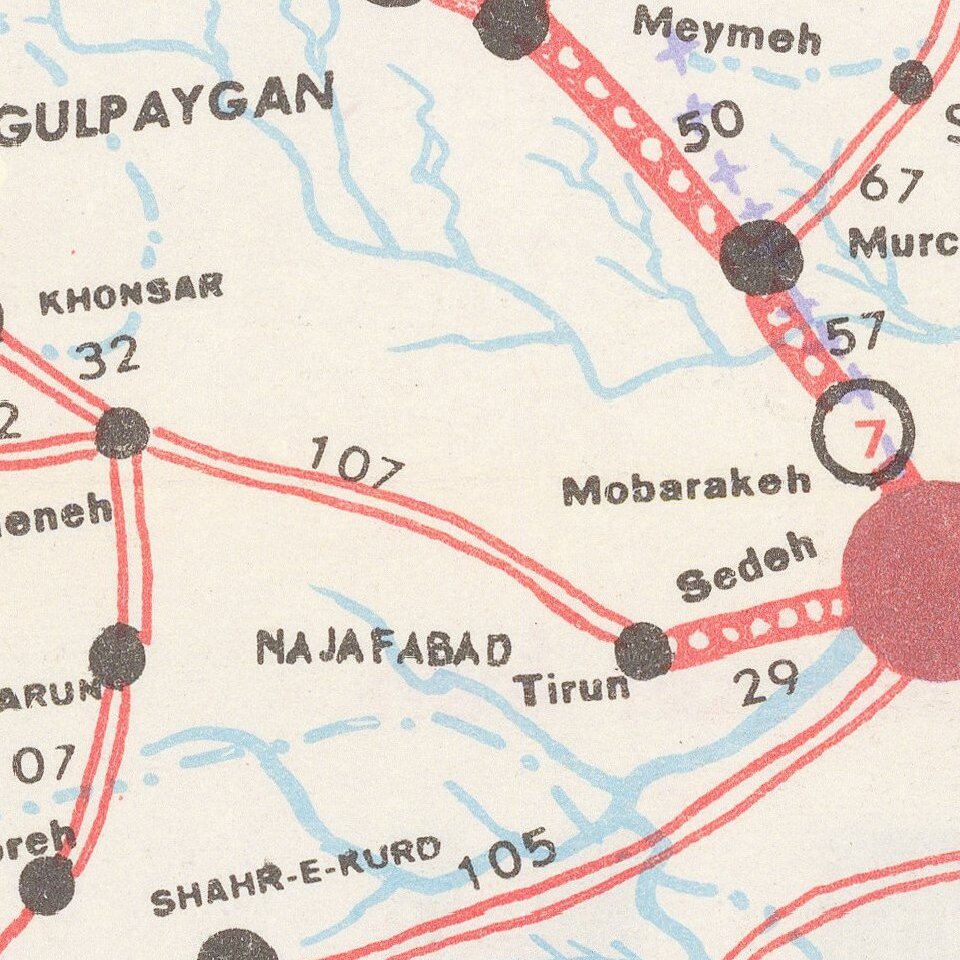
The map is focused on transportation around Iran, noting:

  • First Class Roads (Tarmac)
  • Second Class Roads (Dust)
  • Third Class Roads
  • Road Caravan Tracks
  • Railways
  • Projected Railways
  • International Airports
  • Local Airports
  • Historic Sites
  • Petrol Pumps

The roads also include distances. Pictures are interspersed throughout, showing interesting sites.


Special conditions for students!

If you are a student, write to us in telegram: @antiquemaps and indicate what material you need and for what work you need a map in high detail. We are ready to provide material on special terms. For students only!

Item information:

Year of creation:
Size:
16289x11420 px
Disk:
53.434MiB
Number of pages:
2
Place:
Tehran
Author:
General Department of Publications & Broadcasting.
$14.99

Related item