![[Sinai Peninsula] (Ottoman Turkish Language Sinai and Palestine Campaign Map)](/map/small/54465.jpg)
Ottoman Map Showing A Portion of the Sinai and Palestine Campain and Battle for the Suez Canal During the World War I Rare separately published Ottoman Turkish map of the Sinai Peninsula, illustrating the battles fought during the Sinai Campaign....
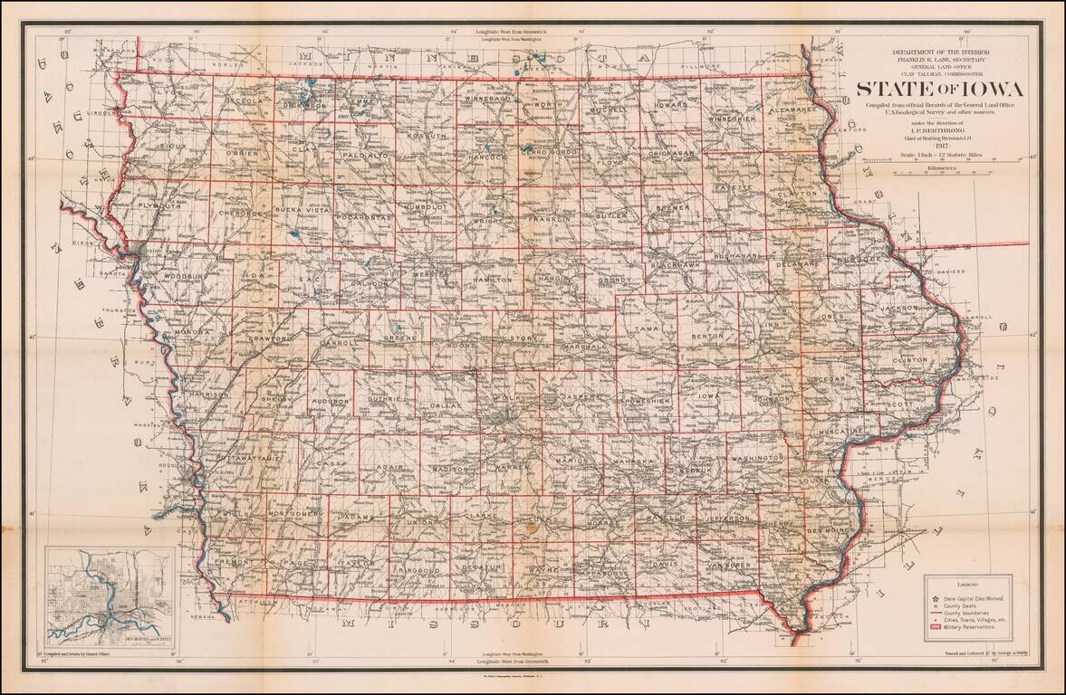
Highly detailed map of Iowa, published by the General Land Office. Shows county boundaries and railroad land-grant limits are shown in color. Also shows Private Claims, county names, public land surveys, towns, principal railroad stations, post...
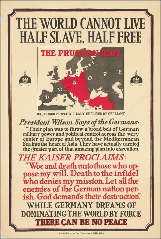
This is a great American propaganda poster encouraging US involvement in World War I. The work attempts to reshape the way that Americans viewed the war by rephrasing the conflict as a result of German imperial ambitions. The map is particularly...
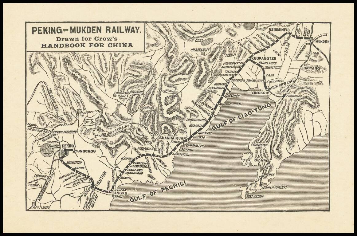
Small map covering northeastern China from Beijing to Shenyang (Mukden), covering the extent of the Peking-Mukden Railway. The so-called Jingha Railway first reached Mukden in 1912. The route was known as the Peking-Mukden Railway from 1907 to 1928,...
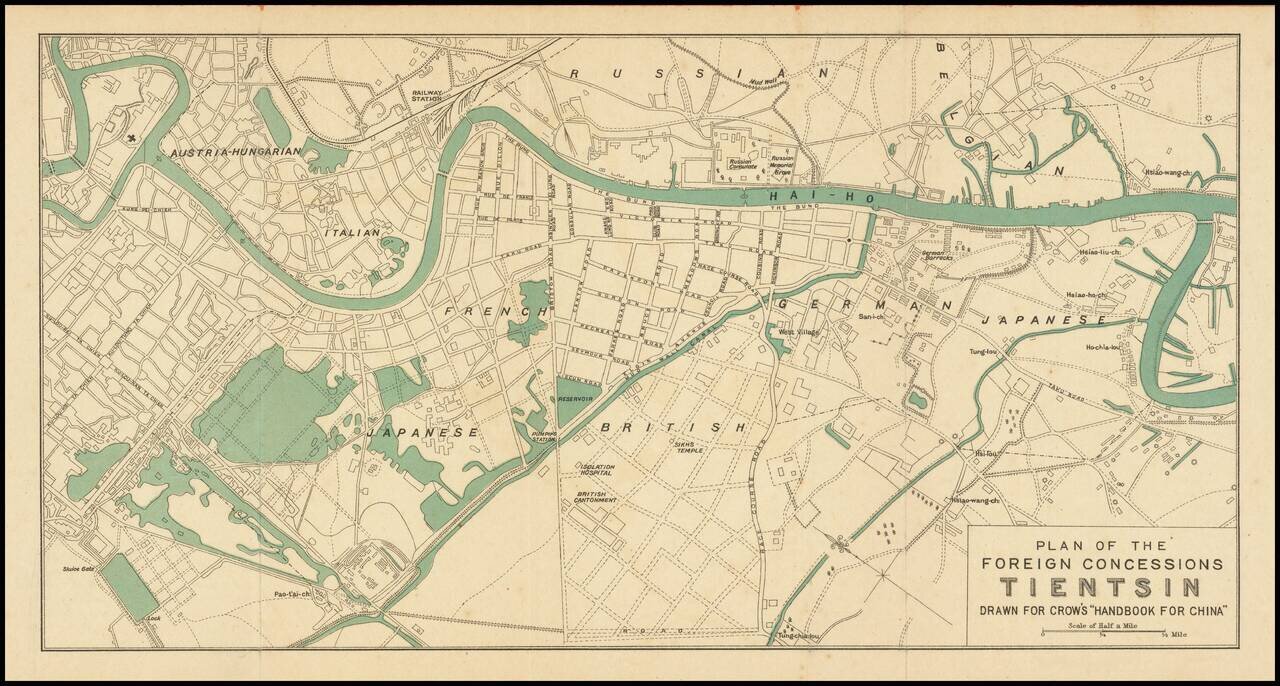
Attractive color-printed plan of the foreign concession area of Shanghai, published for Carl Crow's handbook on China in the early 1920s. As the map shows the Austria-Hungarian section, it probably predates the end of World War I and the fall of the...
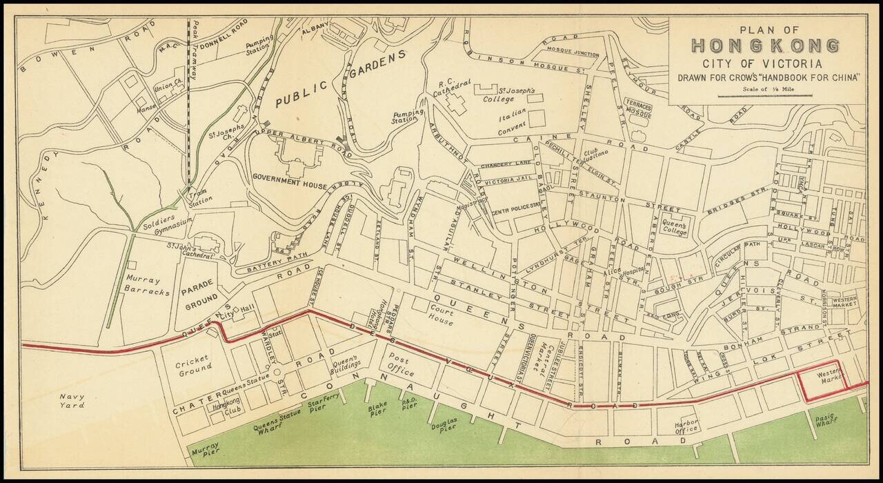
Nice antique map of Victoria, Hong Kong, published by Carl Crow in Shanghai, circa 1917. The map covers what is now central Hong Kong, from the harbor south to Government House and Robinson Road. All the major roads, and some of the major public...