Map size in jpg-format: 8.31151MiB
Click to open in high resolution (open in new tab).
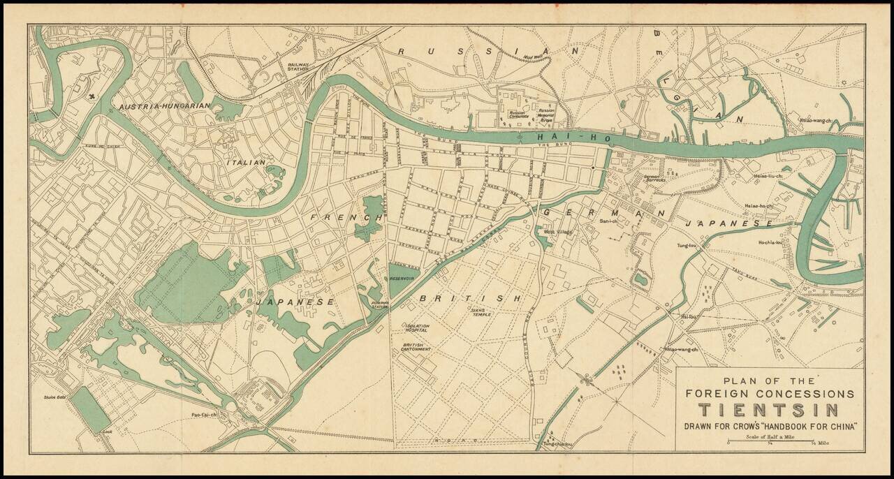
Attractive color-printed plan of the foreign concession area of Shanghai, published for Carl Crow's handbook on China in the early 1920s.
As the map shows the Austria-Hungarian section, it probably predates the end of World War I and the fall of the Austro-Hungarian Empire, in 1918. Their concession was ceded to Italy in 1917.
In addition to the Austria-Hungarian concession, the Russian, French, Japanese, British, Italian, German, and Belgian concessions are depicted.
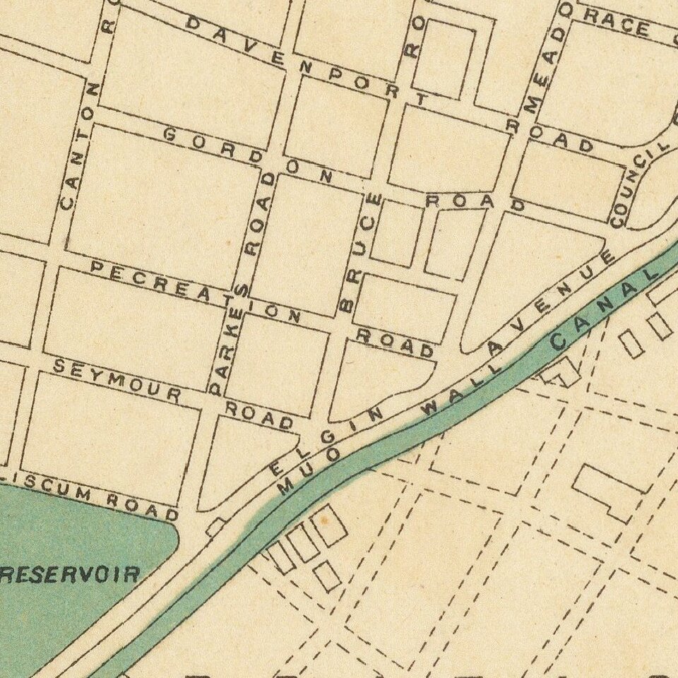
Major street names are listed.
If you are a student, write to us in telegram: @antiquemaps and indicate what material you need and for what work you need a map in high detail. We are ready to provide material on special terms. For students only!
![[Martin Behaim Globe / Book] Pars Globi terrestris Ao. 1492 a Martino Behaim Equite Lusitano Norimbergae confecti Delineavit Christoph. Theoph de Murr 1778 (bound with:) Diplomatische Geschichte des Portugesischen berühmten Ritters Martin Behaims](/map/small/68828.jpg)
![Il Disegno Della Terza Parte Dell' Asia [Gastaldi's Wall Map of SE Asia with extra panels!]](/map/small/30554hbp.jpg)
![Chinae, olim Sinarum regionis nova descriptio. auctore Ludouico Georgio. [English Edition!]](/map/small/71123.jpg)