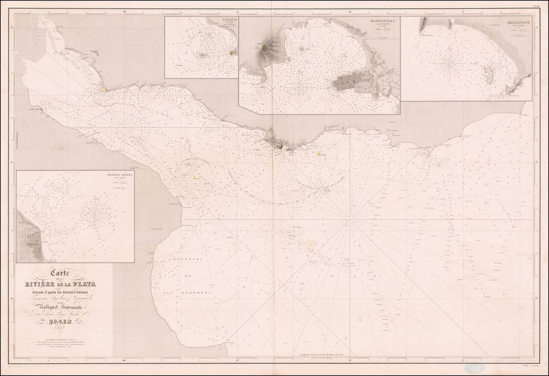
Rare French sea chart of the mouth of the Rio De La Plata, published in Paris by Aime Robiquet. The map includes large insets of: Buenos Aires Colonia Montevideo Maldonado Rare example of this working navigational chart.
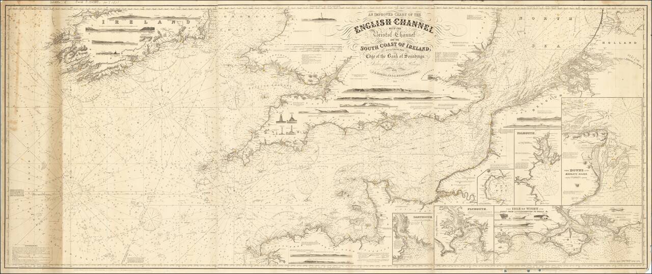
Rare working navigational sea chart, published in London by J.S. Hobbs. The map covers the English Channel, Bristol Channel and contiguous coasts of Southern Ireland, Southern England and a portion of the coast of France. Includes a number of profile...
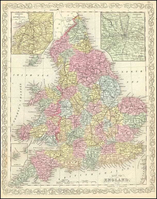
Scarce Charles Desilver map of England, published in 1857. The map is hand colored by county and shows towns, rivers, bays, lakes, railroads, roads, etc.
![Camp De Chalons - Sur - Marne / Plan du Terrain Affecte au Camp et Des Terrains Environnans Leve par les Officieres du Genie Paris 1757 [with military movements added by hand]](/map/small/65093op.jpg)
Napoleon III's Military Showpiece Fine depiction of Napoleon III prized military camp, with significant annotations showing the military manoevers in the Summer of 1866. The present example is filled with annotations in different colors, illustrating...
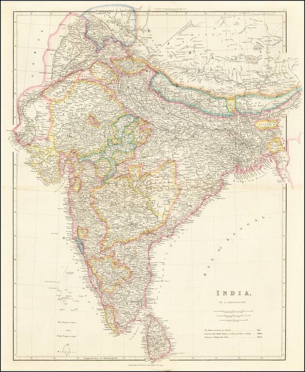
Striking example of Arrowsmith's map of India. The map appeared in Arrowsmith's London Atlas, one of the most popular English atlases of the mid-19th Century.
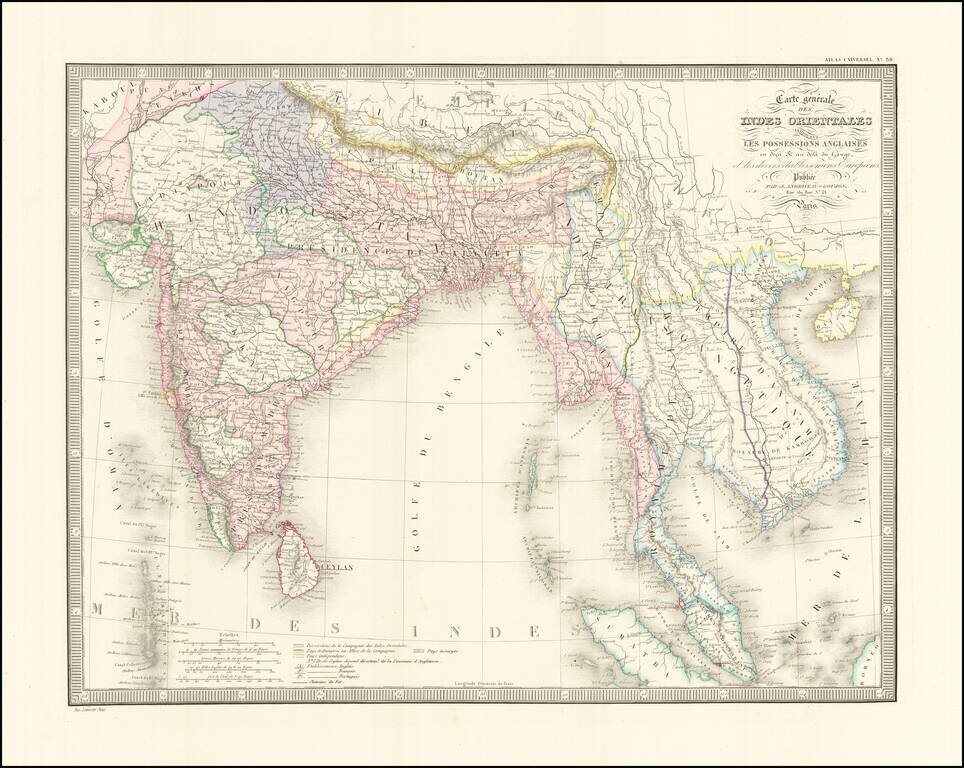
Detailed regional map of India and Southeast Asia, extending from the Gulf of Kambaye to the Gulf of Tonquin and from Sumatra and Ceylon to Tibet and the Himalayas. Shows towns mountains, rivers, lakes, islands, bays, etc. An excellent mid 19th...