Map size in jpg-format: 25.8101MiB
Click to open in high resolution (open in new tab).
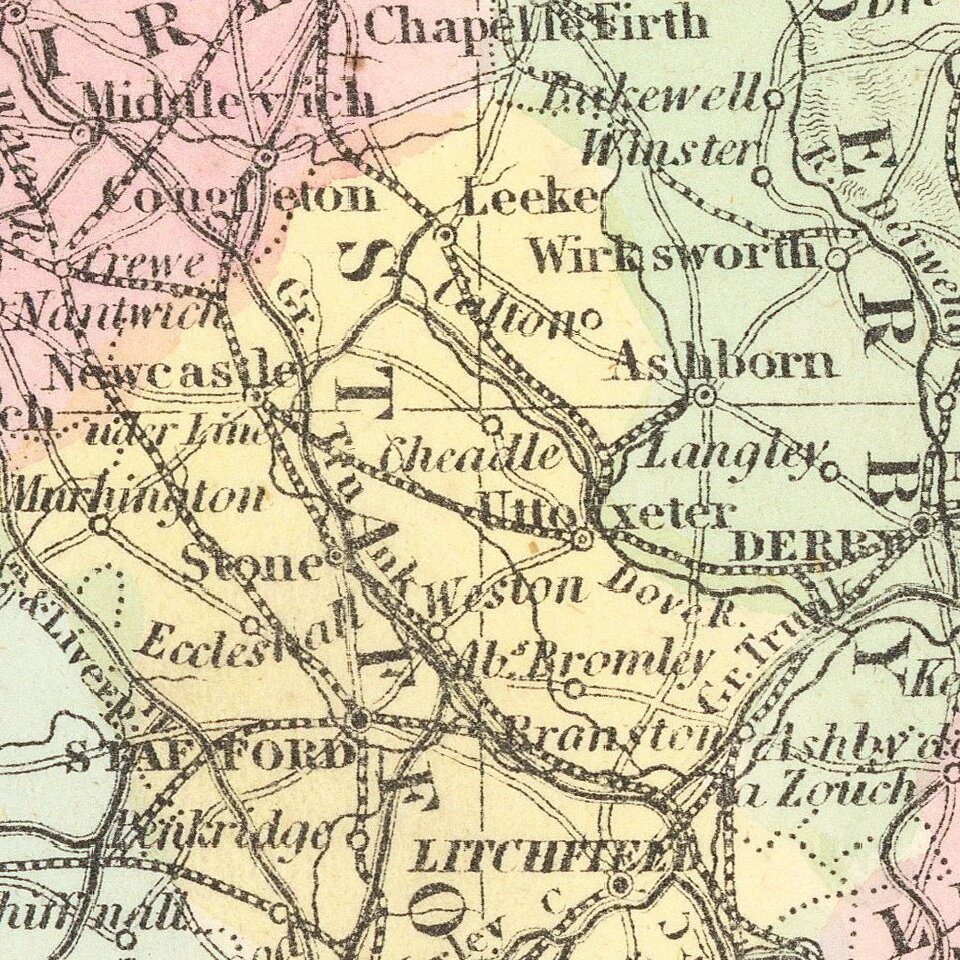
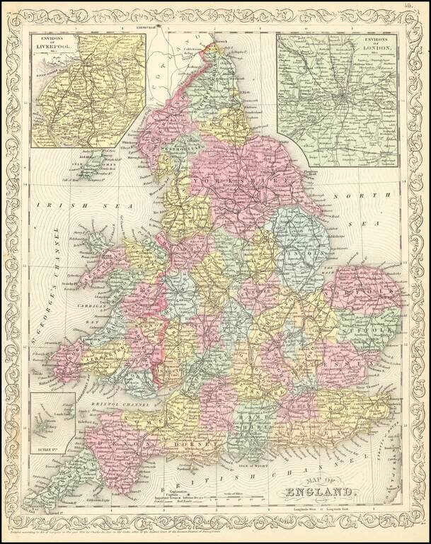
Scarce Charles Desilver map of England, published in 1857.
The map is hand colored by county and shows towns, rivers, bays, lakes, railroads, roads, etc.
If you are a student, write to us in telegram: @antiquemaps and indicate what material you need and for what work you need a map in high detail. We are ready to provide material on special terms. For students only!


