Map size in jpg-format: 33.053MiB
Click to open in high resolution (open in new tab).
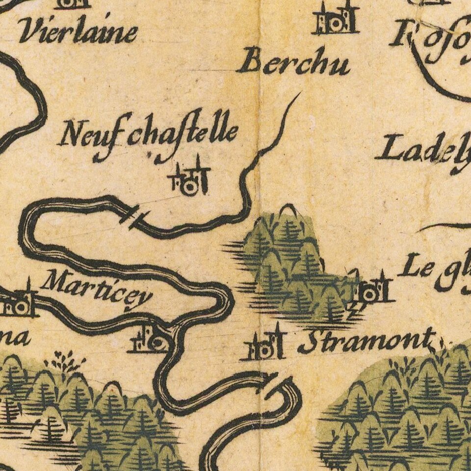
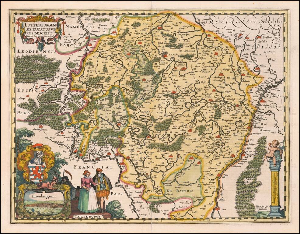
A fine early map of Luxembourg which appeared in Petrus Kaerius's (Peter Van der Keere) Germaniae Inferior id est, XVII Provinciarum ejus novae et exactae Tabulae Geographicae, first published in Amsterdam in 1617.
The map includes a view of the City of Luxembourg, coat of arms and indigenous costumes.
Van der Keere's atlas was the first separately published atlas of the Low Countries.
The map includes a view of the town of Middelburg, a compass rose and costumes showing typical regional dress.
If you are a student, write to us in telegram: @antiquemaps and indicate what material you need and for what work you need a map in high detail. We are ready to provide material on special terms. For students only!