
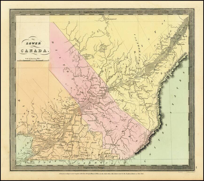
Interesting map of Lower Canada by David Burr, from his New Universal Atlas. The map is centered on the St. Lawrence River. The internal districts are named and colored individually.
Detailed map of Northeastern Canada, published by David Burr.
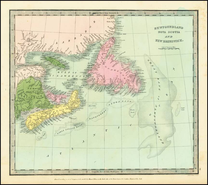
![[Newfoundland] Carta Esferica en dos hojas Del Banco y La Isla De Terranova con parte de la Costa de Labrador, Consruida en la Direccion de Hidrografia seun las ultimas publicadas por el Deposito hidrografico de Londres y presantada a S.S.M.M. por Don Ju](/map/small/42237sh.jpg)
Northern chart of this scarce Spanish Chart of Newfoundland and Labrador, published in Madrid.
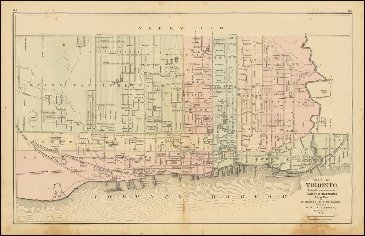
Detailed map of Toronto, colored by Wards, from Tackabury's Atlas of the Dominion. Locates a number wharfs, buildings, railroad lines and other details. Toronto was originally named York, changing its name in 1834. The map shows Toronto during a...
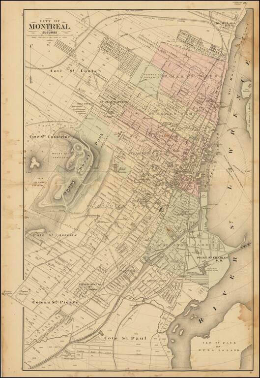
Scarce lithographed map of Montreal, probably from Tackabury's Atlas of the Dominion of Canada (1876). Hand-colored by wards. Many important public buildings are outlined and labeled. The topography of Mount Royal is rendered with hachuring.
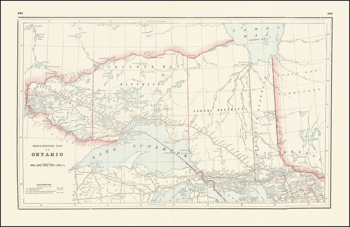
Detailed railroad map, showing counties, railroad lines, towns, rivers, township surveys, lakes, mountains, creeks, waterfalls, and a host of other information. Focuses on the northern Great Lakes, specifically Lake Superior, and shows Ontario north...