![[Newfoundland] Carta Esferica en dos hojas Del Banco y La Isla De Terranova con parte de la Costa de Labrador, Consruida en la Direccion de Hidrografia seun las ultimas publicadas por el Deposito hidrografico de Londres y presantada a S.S.M.M. por Don Ju](/map/small/42237sh.jpg)
Map size in jpg-format: 8.95134MiB
Click to open in high resolution (open in new tab).
![[Newfoundland] Carta Esferica en dos hojas Del Banco y La Isla De Terranova con parte de la Costa de Labrador, Consruida en la Direccion de Hidrografia seun las ultimas publicadas por el Deposito hidrografico de Londres y presantada a S.S.M.M. por Don Ju](/prevmap/prev_42237sh/42237sh.jpg)
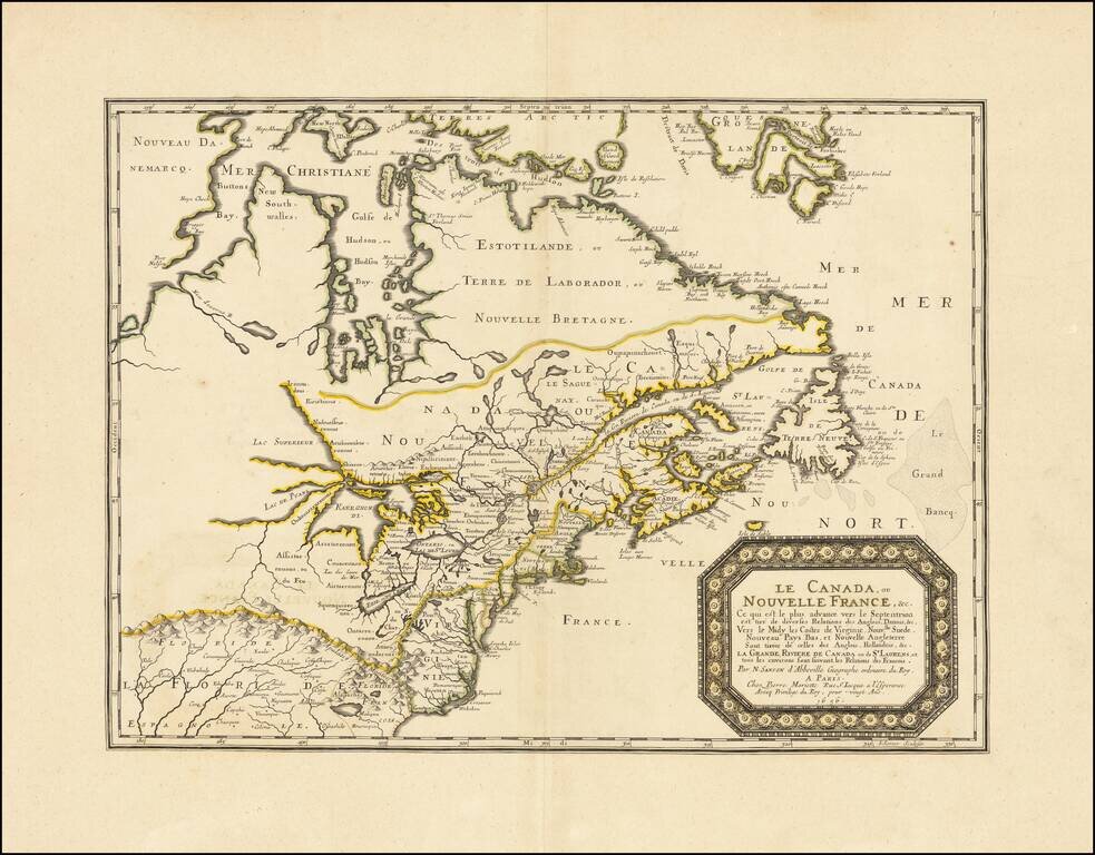
Northern chart of this scarce Spanish Chart of Newfoundland and Labrador, published in Madrid.
The Dirección de Hidrografía, or the Directorate of Hydrographic Works, was established in 1797. Its roots were in the Casa de Contratación, founded in 1503 in Sevilla, which housed all the charts of the Spanish Empire and oversaw the creation and maintenance of the padrón real, the official master chart. The Casa, now in Cadiz, was shuttered in 1790, but Spain still needed a hydrographic body. In response, the Dirección was created in 1797. One of its first projects was the publication of charts from the Malaspina Expedition (1789-1794). The Dirección oversaw not only publication, but also surveying. The Dirección was abolished in the early twentieth century, when their work was distributed to other organizations.
If you are a student, write to us in telegram: @antiquemaps and indicate what material you need and for what work you need a map in high detail. We are ready to provide material on special terms. For students only!