logo

1876. City of Montreal and Suburbs

  • City of Montreal and Suburbs

City of Montreal and Suburbs information:

Year of creation: 
Resolution size (pixels): 
 10422x15141 px
Disk Size: 
 52.9562MiB
Number of pages: 
 1
Place: 
 

Print information. Print size (Width x height in inches):
Printing at 72 dpi 
  144.75 х 210.29
Printing at 150 dpi 
 69.48 х 100.94
Printing at 300 dpi 
 34.74 х 50.47

An example of detailing the file of this map of in a printable high-resolution:

Click to open in high resolution (open in new tab).
Attention! this is just the central piece (central area 960x960 px) of the map file!
This is an example, so that you can see and study the level of detail of a given map. The entire Map will be fully available after payment!

City of Montreal and Suburbs

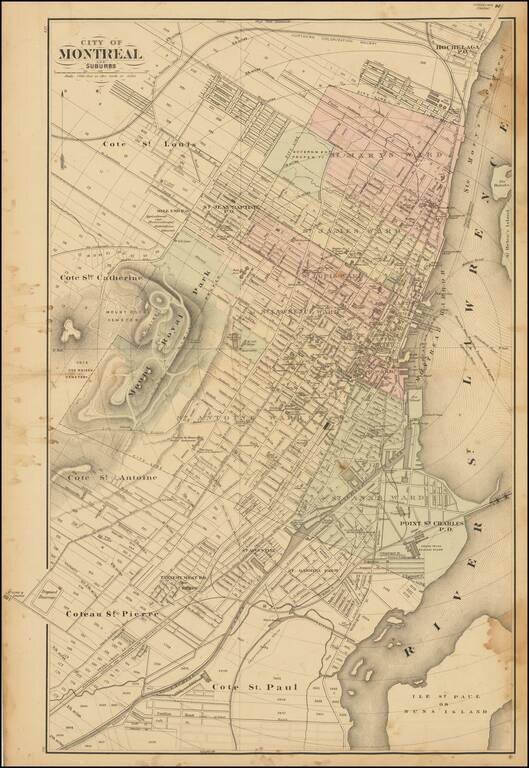
Scarce lithographed map of Montreal, probably from Tackabury's Atlas of the Dominion of Canada (1876).

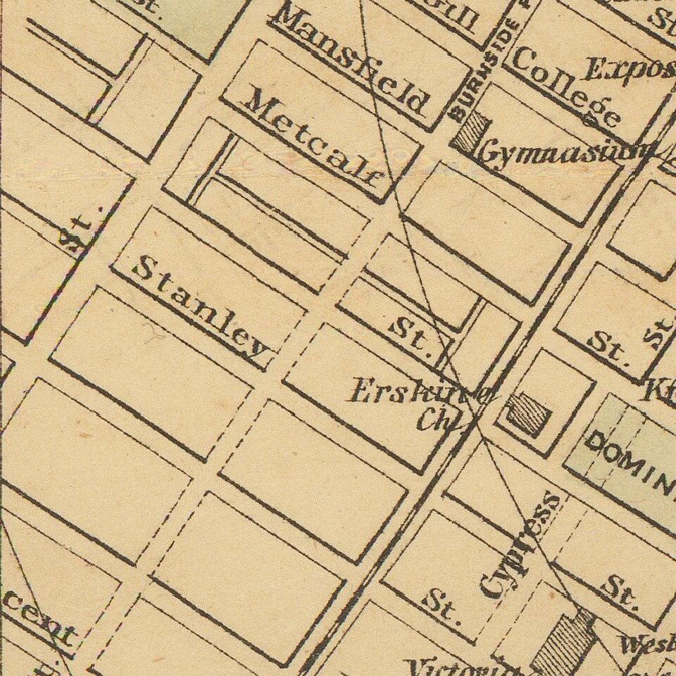
Hand-colored by wards. Many important public buildings are outlined and labeled. The topography of Mount Royal is rendered with hachuring.


Special conditions for students!

If you are a student, write to us in telegram: @antiquemaps and indicate what material you need and for what work you need a map in high detail. We are ready to provide material on special terms. For students only!

Item information:

Year of creation:
Size:
10422x15141 px
Disk:
52.9562MiB
Number of pages:
1
Place:

Author:
Henry Francis Walling. George Tackabury.
$14.99

Related item