logo

1875. City of Toronto Reduced by permission from Wadsworth & Unwin's Large Map . . . 1875

  • City of Toronto Reduced by permission from Wadsworth & Unwin's Large Map . . . 1875

City of Toronto Reduced by permission from Wadsworth & Unwin's Large Map . . . 1875 information:

Year of creation: 
Resolution size (pixels): 
 15140x9798 px
Disk Size: 
 37.0843MiB
Number of pages: 
 1
Place: 
 Montreal
Author: 

Print information. Print size (Width x height in inches):
Printing at 72 dpi 
  210.28 х 136.08
Printing at 150 dpi 
 100.93 х 65.32
Printing at 300 dpi 
 50.47 х 32.66

An example of detailing the file of this map of in a printable high-resolution:

Click to open in high resolution (open in new tab).
Attention! this is just the central piece (central area 960x960 px) of the map file!
This is an example, so that you can see and study the level of detail of a given map. The entire Map will be fully available after payment!

City of Toronto Reduced by permission from Wadsworth & Unwin's Large Map . . . 1875

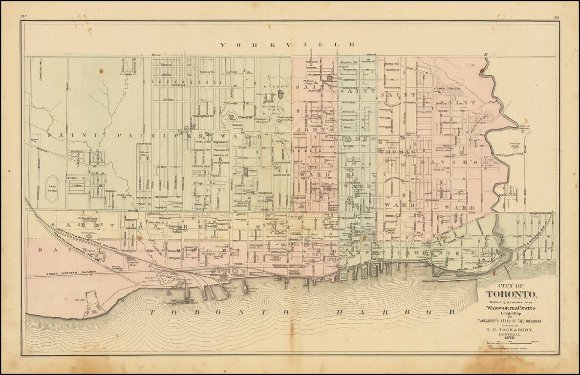
Detailed map of Toronto, colored by Wards, from Tackabury's Atlas of the Dominion.

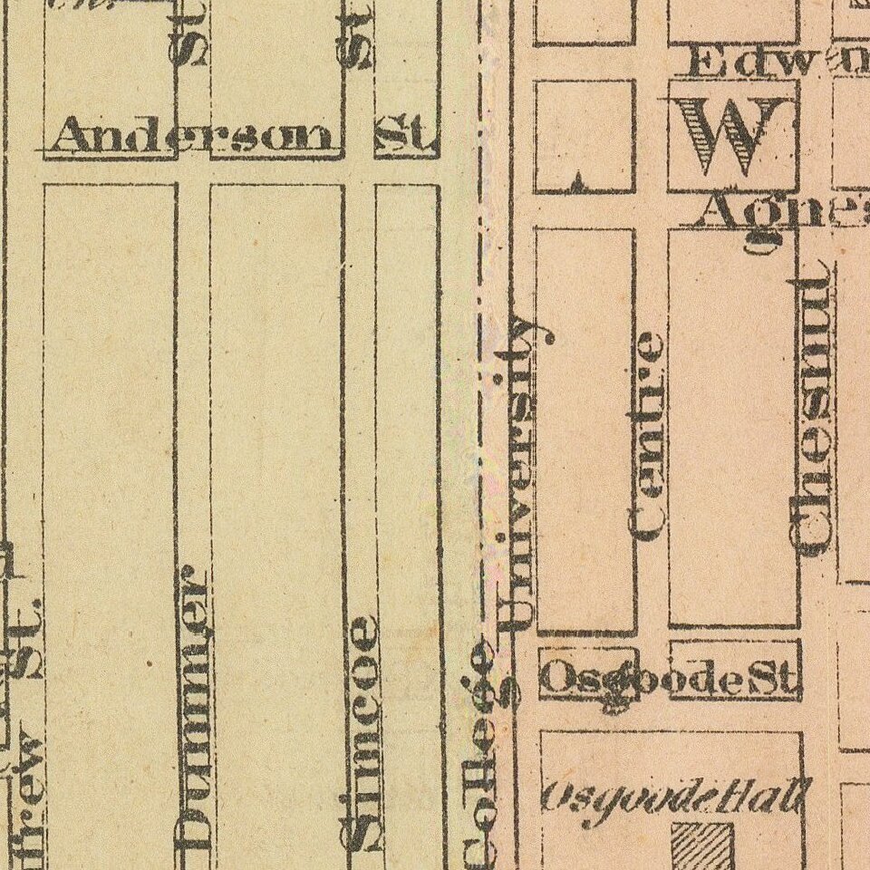
Locates a number wharfs, buildings, railroad lines and other details.

Toronto was originally named York, changing its name in 1834. The map shows Toronto during a period of explosive growth in the 19th Century, when the population increased from 30,000 in 1851 to 56,000 in 1871, 86,400 in 1881 and 181,000 in 1891.


Special conditions for students!

If you are a student, write to us in telegram: @antiquemaps and indicate what material you need and for what work you need a map in high detail. We are ready to provide material on special terms. For students only!

Item information:

Year of creation:
Size:
15140x9798 px
Disk:
37.0843MiB
Number of pages:
1
Place:
Montreal
Author:
George Tackabury.
$14.99

Related item