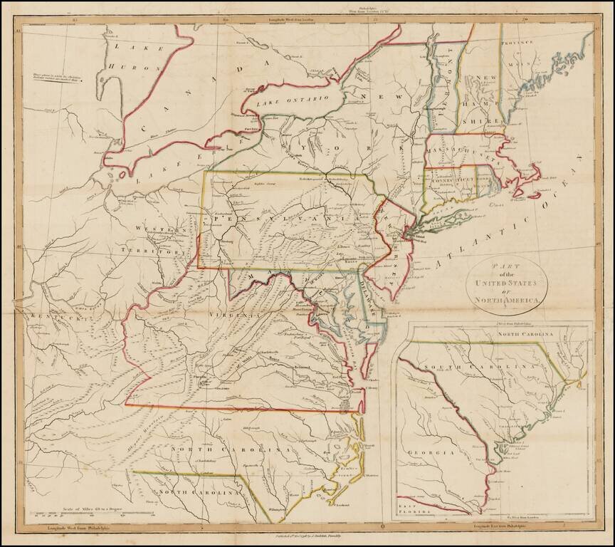
Interesting map of the United States with large inset of South Carolina and Georgia. The map extends east to include the confluence of the Kentucky and Ohio Rivers and names Kentucky, but not Ohio or Tennessee. Includes nice detail in the...
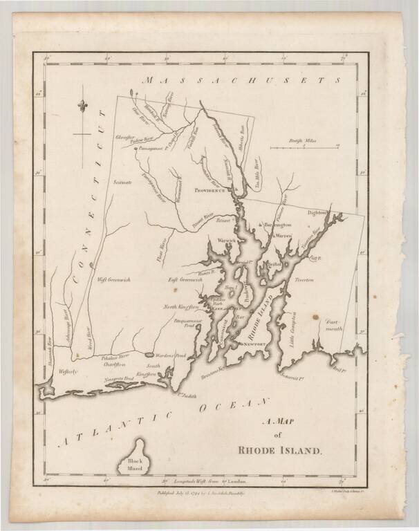
Rare example of John Stockdale's map of Rhode Island from the London edition of Morse's Geography. This map is quite possibly the first English language map of Rhode Island published following the conclusion of the American Revolution and one of only...
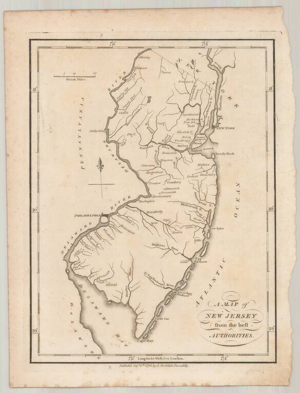
Rare example of John Stockdale's map of New Jersey from the London edition of Morse's Geography. This map is quite possibly the first English language map of New Jersey published following the conclusion of the American Revolution and one of only a...
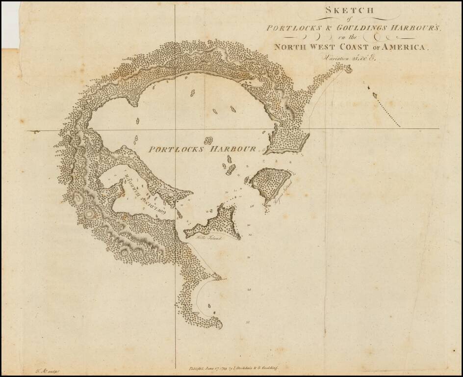
Rare early sketch map of Portock Harbor and Goudling Harbor, north of Sitka and west of Juneau Alaska, from Geroge Dixon's Voyage round the World; but More Particularly to the North-West Coast of America: Performed in 1785, 1786, 1787, and 1788, in the...
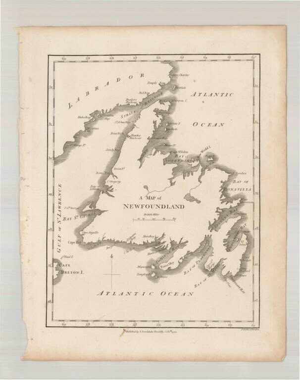
Scarce early map of Newfoundland, which first appeared in Samuel Morse's Universal Geography in 1794.
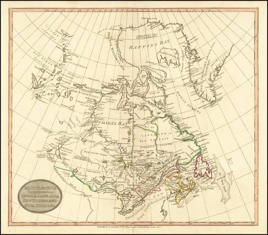
Rare Dublin edition of John Stockdale's map of British America. The map is centered on the Great Lakes and Hudsons Bay. The course of the Mississippi River is quite fascinating, and titled "Miiskoue-sipi or Red R." and a bit further south,...
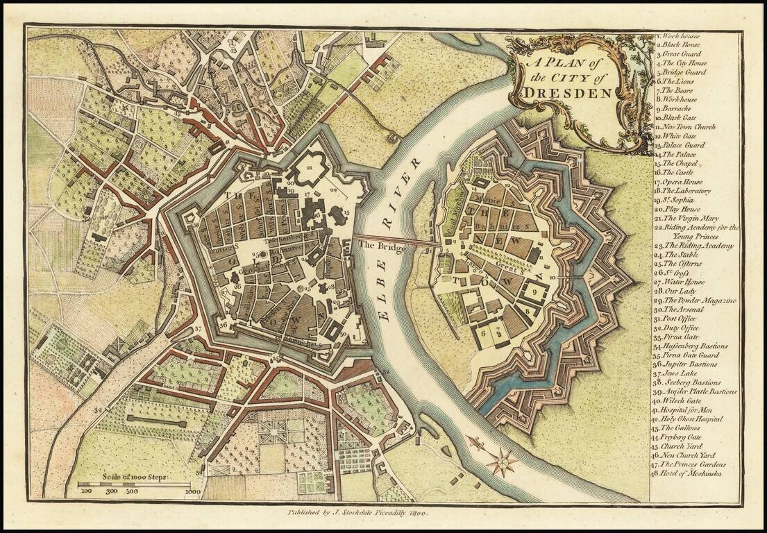
Finely colored map of Dresden at the end of the 18th Century. The map illustrates the fortified old and new towns on either side of the Elbe River, with an extensive key locating 48 places.
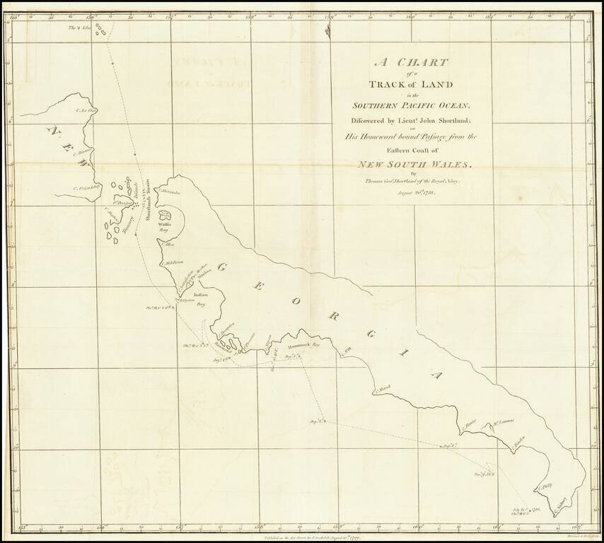
Detailed map of South Georgia, showing the tracks of Lieutenant John Shortland. John Shortland (1739–1803) entered the Royal Navy in 1755 as a midshipman and served under Admiral Boscawen off Newfoundland, under Admiral Byng off Minorca and under...