Map size in jpg-format: 1.28775MiB
Click to open in high resolution (open in new tab).
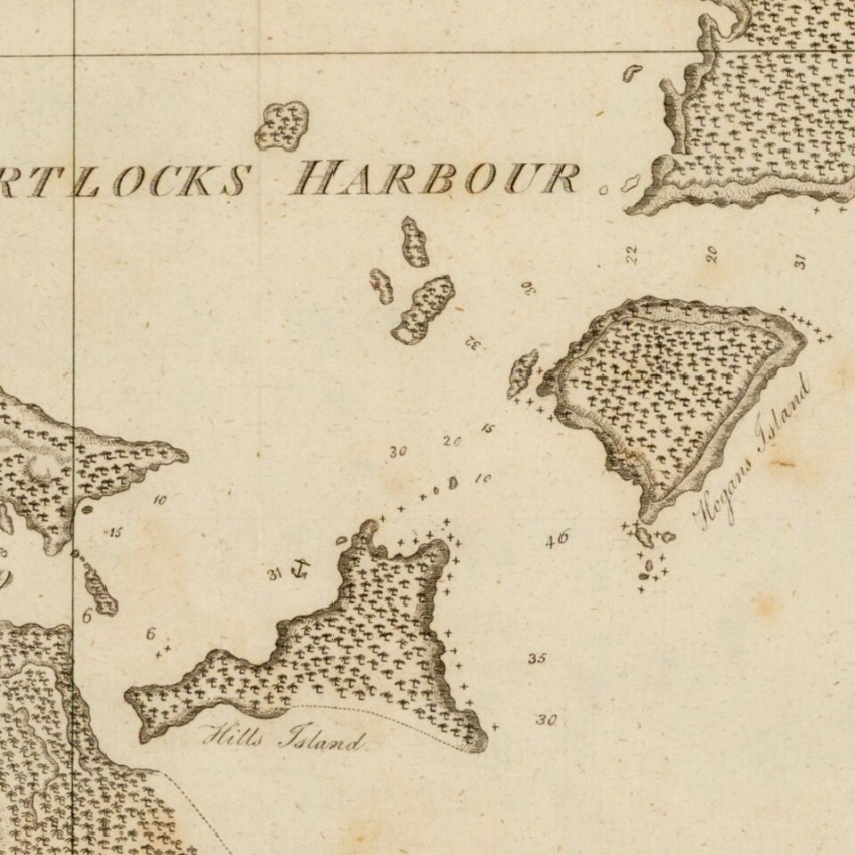
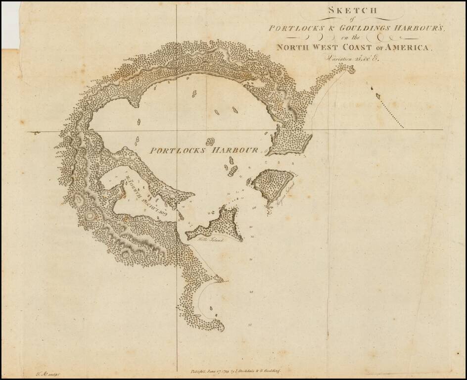
Rare early sketch map of Portock Harbor and Goudling Harbor, north of Sitka and west of Juneau Alaska, from Geroge Dixon's Voyage round the World; but More Particularly to the North-West Coast of America: Performed in 1785, 1786, 1787, and 1788, in the King George and Queen Charlotte, Captains Portlock and Dixon, published in 1789.
The map is one of the earliest obtainable printed maps of any harbor in Alaska.
Nathaniel Portlock reached the area in August 1787, with the intent to trade for sea otter skins with the local Tlingit and later encountered the La Perouse edition about 100 miles to the north.
If you are a student, write to us in telegram: @antiquemaps and indicate what material you need and for what work you need a map in high detail. We are ready to provide material on special terms. For students only!
![America [Manuscript Map Showing the Sea of the West!]](/map/small/41297dm.jpg)

![[Atlantis?] Ristretto Delle Carte presentate all' Academia delle Scienze di Parigi negli anni 1737 e 1752 dal Sig di Buache](/map/small/58667.jpg)