Map size in jpg-format: 1.28362MiB
Click to open in high resolution (open in new tab).
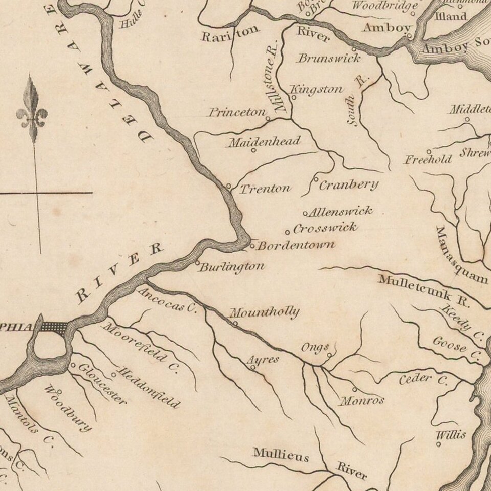
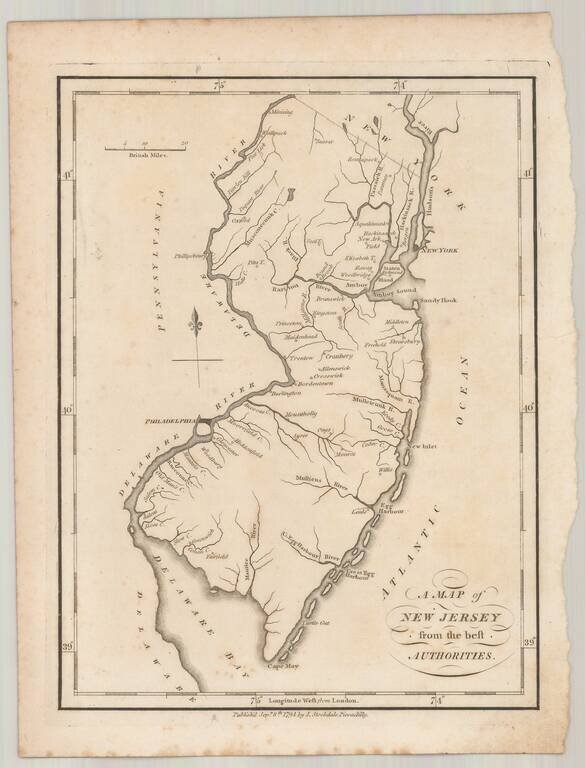
Rare example of John Stockdale's map of New Jersey from the London edition of Morse's Geography.
This map is quite possibly the first English language map of New Jersey published following the conclusion of the American Revolution and one of only a few maps of the state published prior to 1800.
The map does not includes counties.
If you are a student, write to us in telegram: @antiquemaps and indicate what material you need and for what work you need a map in high detail. We are ready to provide material on special terms. For students only!
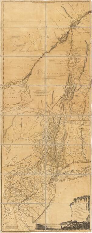
![(American Revolution) [Manuscript Map of New York City and Northern New Jersey]](/map/small/69609.jpg)