logo

1794. A Map of Newfoundland

  • A Map of Newfoundland

Map size in jpg-format: 1.06642MiB

Download "A Map of Newfoundland", in high resolution.

A Map of Newfoundland information:

Year of creation: 
Resolution size (pixels): 
 2843x3601 px
Disk Size: 
 1.06642MiB
Number of pages: 
 1
Place: 
 London
Author: 

Print information. Print size (Width x height in inches):
Printing at 72 dpi 
  39.49 х 50.01
Printing at 150 dpi 
 18.95 х 24.01
Printing at 300 dpi 
 9.48 х 12

An example of detailing the file of this map of in a printable high-resolution:

Click to open in high resolution (open in new tab).
Attention! this is just the central piece (central area 960x960 px) of the map file!
This is an example, so that you can see and study the level of detail of a given map. The entire Map will be fully available after payment!

A Map of Newfoundland

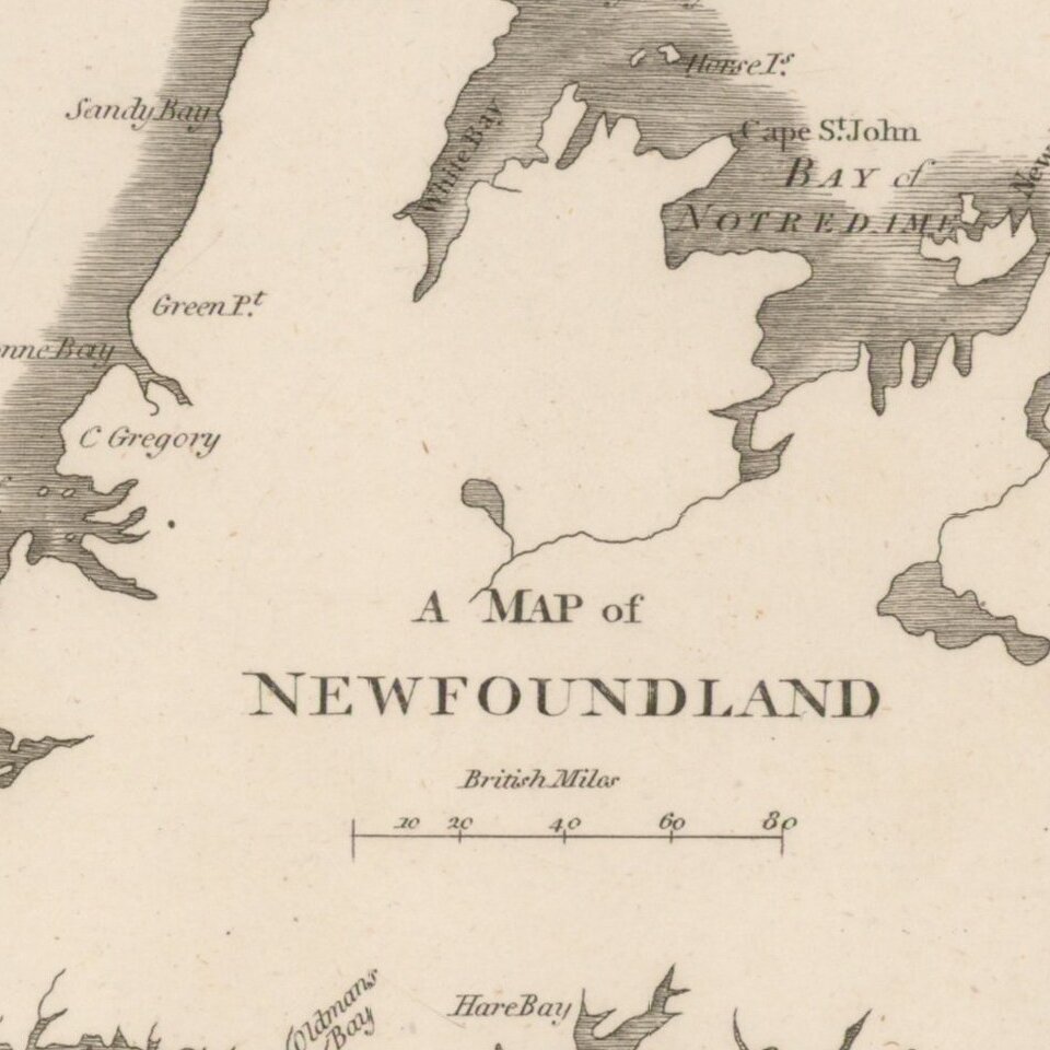
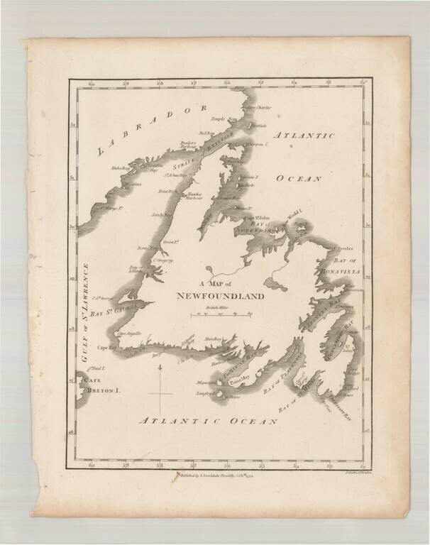
Scarce early map of Newfoundland, which first appeared in Samuel Morse's Universal Geography in 1794.


Special conditions for students!

If you are a student, write to us in telegram: @antiquemaps and indicate what material you need and for what work you need a map in high detail. We are ready to provide material on special terms. For students only!

Item information:

Year of creation:
Size:
2843x3601 px
Disk:
1.06642MiB
Number of pages:
1
Place:
London
Author:
John Stockdale.
$14.99

Related item