Map size in jpg-format: 11.4294MiB
Click to open in high resolution (open in new tab).
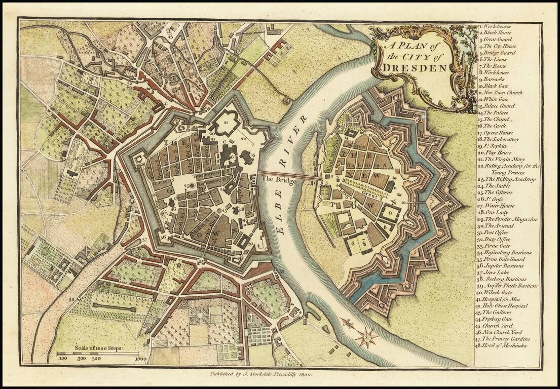
Finely colored map of Dresden at the end of the 18th Century.
The map illustrates the fortified old and new towns on either side of the Elbe River, with an extensive key locating 48 places.
If you are a student, write to us in telegram: @antiquemaps and indicate what material you need and for what work you need a map in high detail. We are ready to provide material on special terms. For students only!


