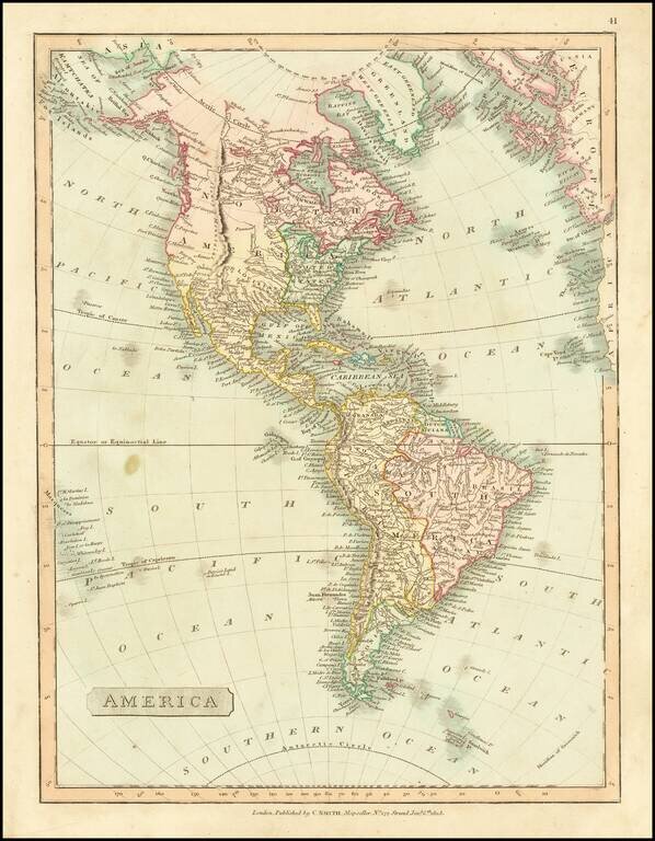
Detailed map of America, showing North America immediately prior to the discoveries of Lewis & Clark, and South America on the eve of its century of Revolution. The map is dated 1816 and includes an unknown region west of the Rocky Mountains,...
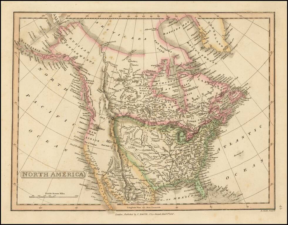
The British View of the Louisiana Purchase. Detailed map of North America, illustrating an Anglo-centric view of the land acquired by the United States in the Louisiana Purchase. The map illustrates two features which give away its political view....
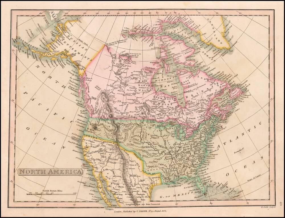
Post-Adams Onis Edition Detailed map of North America, illustrating the boundaries of North America, shortly after the Adams Onis Treaty established the boundaries between Mexico and the United States. The map illustrates features which give away its...
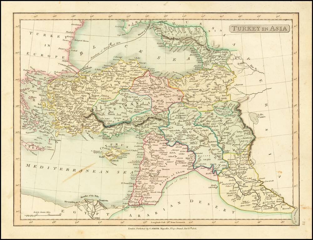
Detailed map of Asia Minor, Syria and Iraq. Excellent detail. Shows towns, rivers, mountains, islands, etc. From Smith's General Atlas. Nice topographical detail.
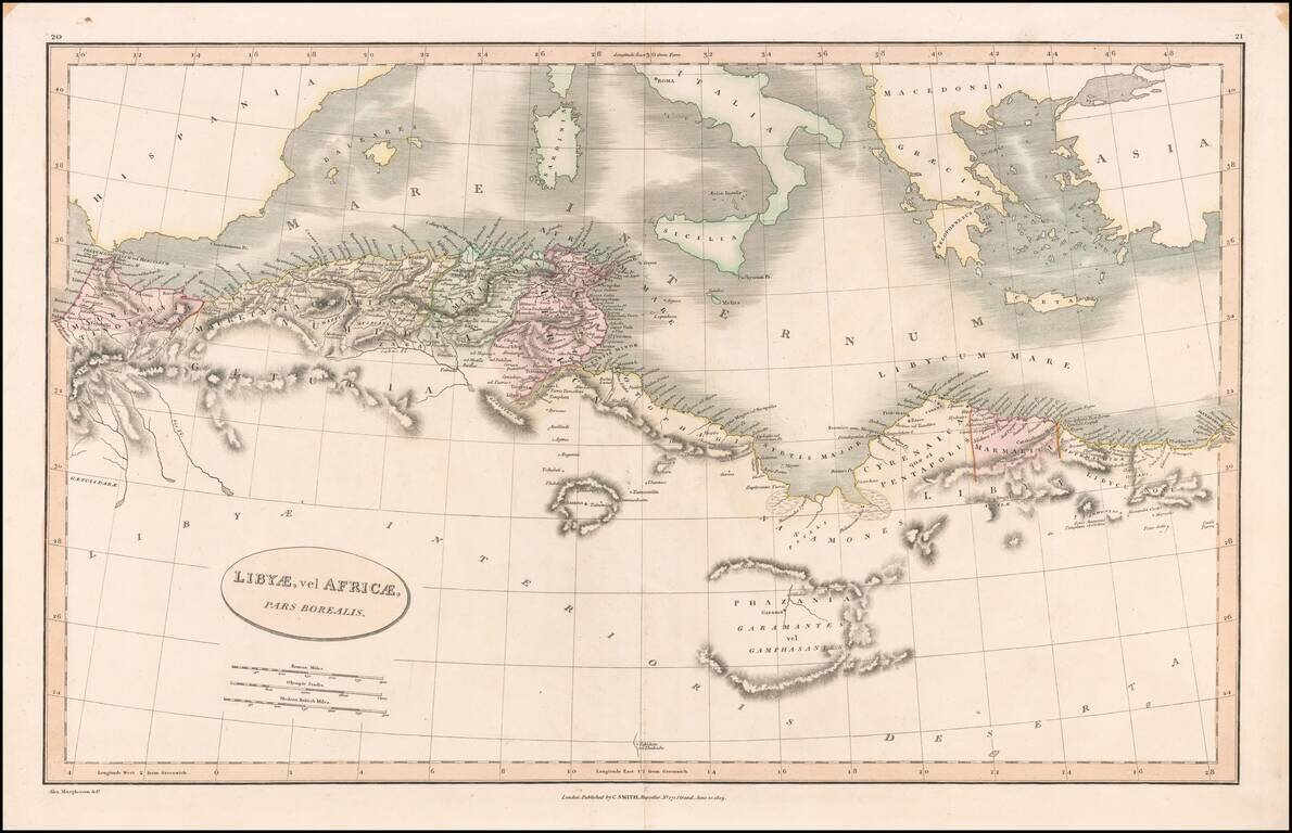
Detailed map of the north coast of Africa and the Mediterranean, published in London by Charles Smith.
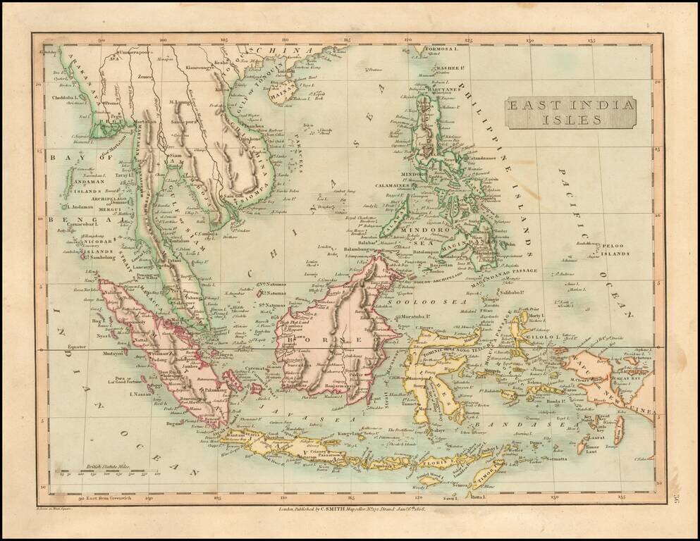
Detailed map of SE Asia, centered on Borneo. Extends from the Gulf of Tonquin and the southern tip of Formosa to Papua or New Guinea, Mimor, Java and Sumatra. Excellent detail. Shows towns, rivers, mountains, islands, etc. From Smith's General Atlas....
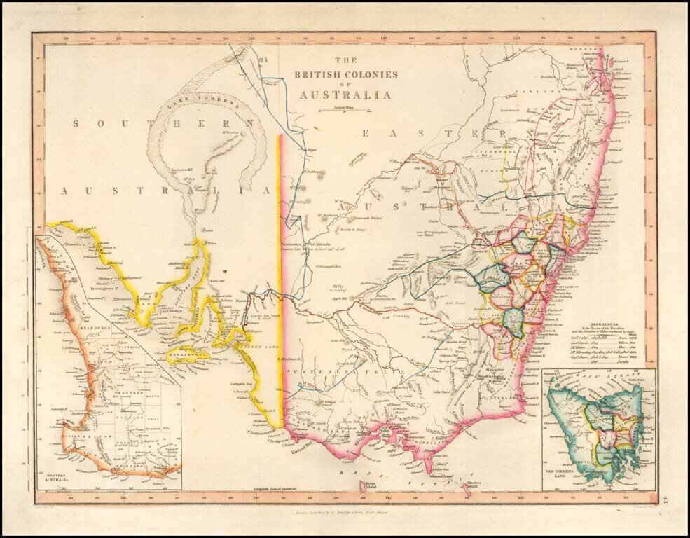
With a Massive Inland Lake Torrens Fine map of Southeastern Australia, illustrrating the British Colonies on the Continent. The map shows the region shortly before the discovey of gold would create a massive rush of fortunate seekers into the...