Map size in jpg-format: 8.80558MiB
Click to open in high resolution (open in new tab).
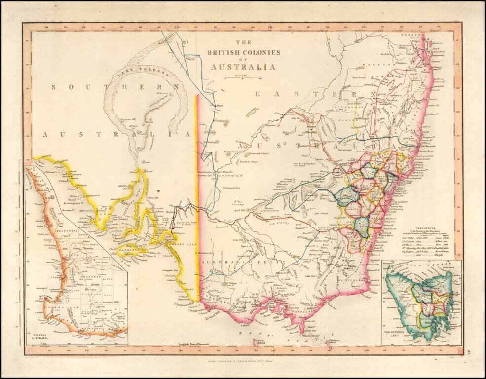
With a Massive Inland Lake Torrens
Fine map of Southeastern Australia, illustrrating the British Colonies on the Continent.
The map shows the region shortly before the discovey of gold would create a massive rush of fortunate seekers into the region.
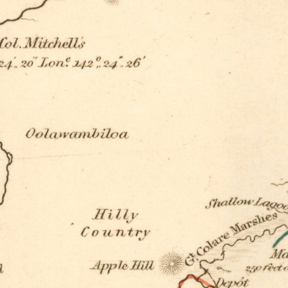
The map shows early Australian overland explorations:
Lake Torrens
Approximately 35,000 years ago, the lake water was fresh to brackish, but has become increasingly saline since. The traditional owners of the area are the Arabunna peoples to the north, the Kokatha to the west and the Kyuni to the east. The first European to see the lake was Edward Eyre in 1839 who spotted the salt bed from Mount Arden at the head of the Spencer Gulf. Eyre named the lake after Colonel Robert Torrens who was one of the founders of the South Australian colony.
If you are a student, write to us in telegram: @antiquemaps and indicate what material you need and for what work you need a map in high detail. We are ready to provide material on special terms. For students only!

![[English Edition!] Maris Pacifici quod vulgo Mar del Zud](/map/small/71000.jpg)
