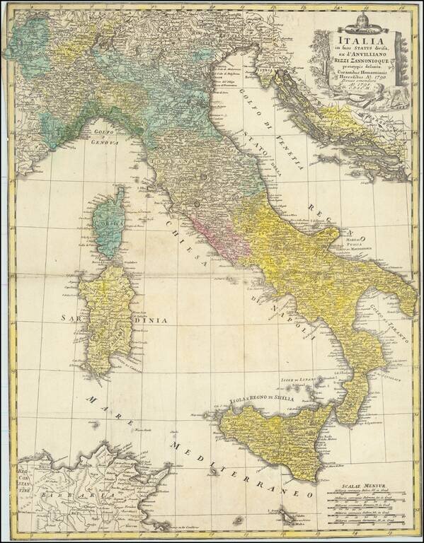
Rare separately issued map of Italy, Sicily, Corsica, Sardinia, etc., extending south to Malta and showing the Gulf of Venice and the contiguous Balkans.
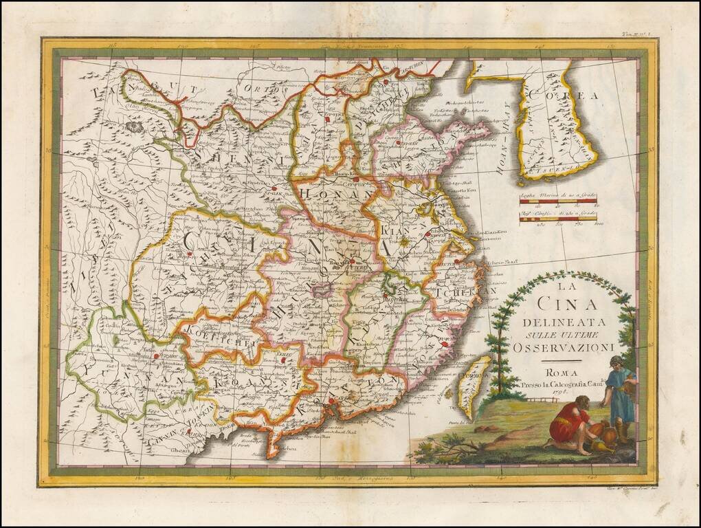
Nice example of Giovanni Maria Cassini's decorative map of China and Korea. The map includes a fine decorative vignette, being one of the last great decorative maps of the region.
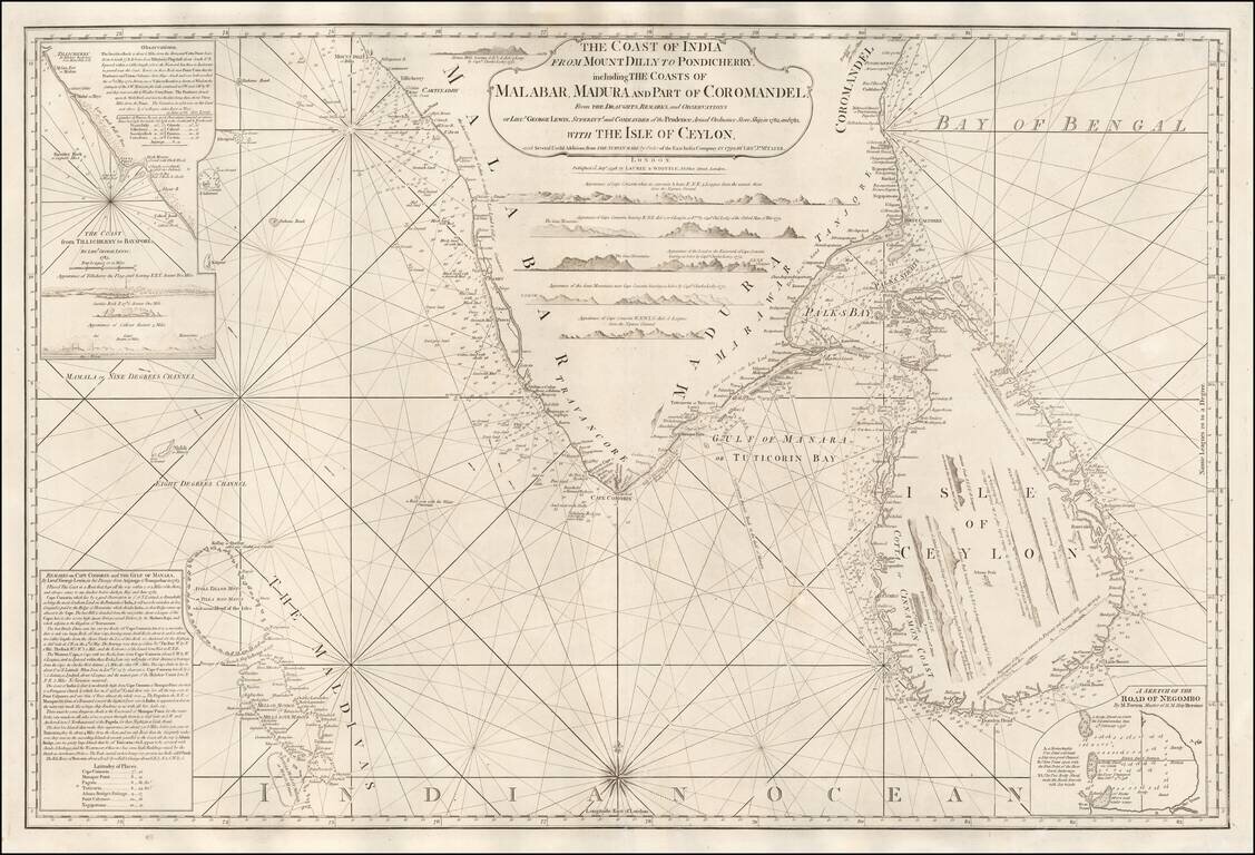
A Rare English Sea Chart of Ceylon and Southern India Fine East India Company Sea Chart, covering the southern part of India and the island of Ceylon (Sri Lanka), published in London by Laurie & Whittle. The chart was published separately and in...
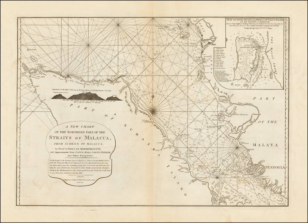
Rare sea chart of the northern portion of the Strait of Malacca, from Laurie & Whittle's East India Pilot. The chart includes rhumb lines, depths, shoals, a compass rose and a detailed inset, "Plan of Poolo Pinang, now Prince of Wales's Island,...
![[Papua New Guinea, etc.] A New Chart of the Straits to the Westward of New Guinea; Comprehending The Straits of New Guinea, Revenge's or Galewo Straits, Pitt's or Sagewin Straits, Dampier's or Gamen Straits, with Bougainville's Passage . . . Captn. M. Hog](/map/small/39549.jpg)
Rare sea chart of West Papua, New Guinea, Waigeo, Pulau Raja, Pulau Sanjang, Pulau Aju, etc., published by Laurie & Whittle in London, based upon the surveys under the command of Captain Robert Williams aboard the Thames (1796 - 1797) and Captain...
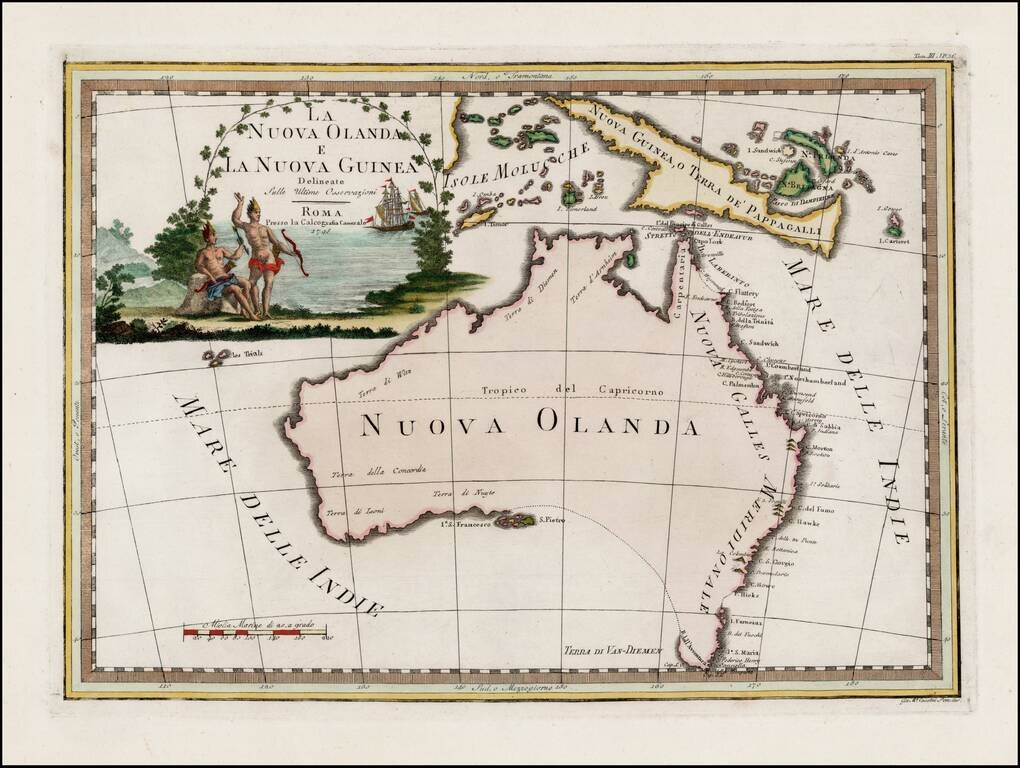
Striking early map of Australia, with large decorative title cartouche. Cassini's map of Australia is by far the most decorative map of Australia to appear in a commercially published atlas. Following Cook's landmark discovery of Australia's east...
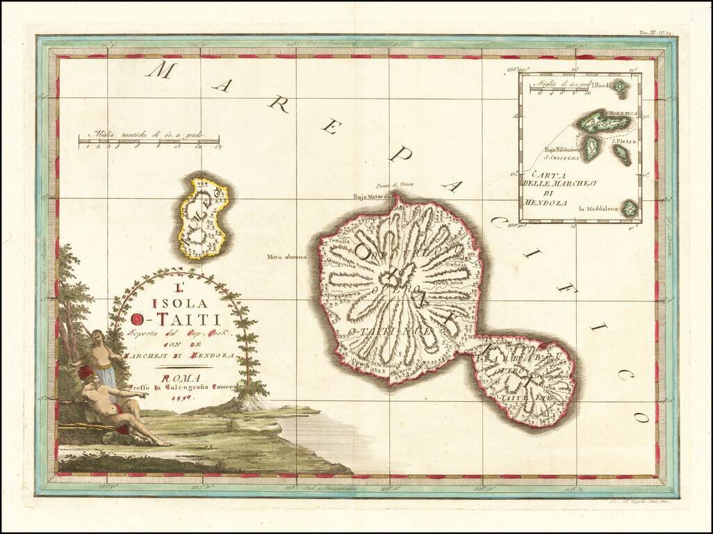
Decorative map of the island of Tahiti, published in Rome by Cassini, with a large inset map of the Marquesas Islands. Cassini's map celebrates the visit to Tahiti by Captain James Cook, during Cook's scientific mission to observe the transit of the...
![[Tonga Islands] Le Isole De Gli Amici Delineate Suller ulitime Osservazioni de Cap. Cook . . . 1798](/map/small/64141.jpg)
Decorative map of the island of the Friendly Islands (Tonga), published in Rome by Cassini, with a large inset map of the Marquesas Islands. Cassini's map illustrates Captain James Cook's visits to the islands in 1773, 1774, and 1777, with each visit...
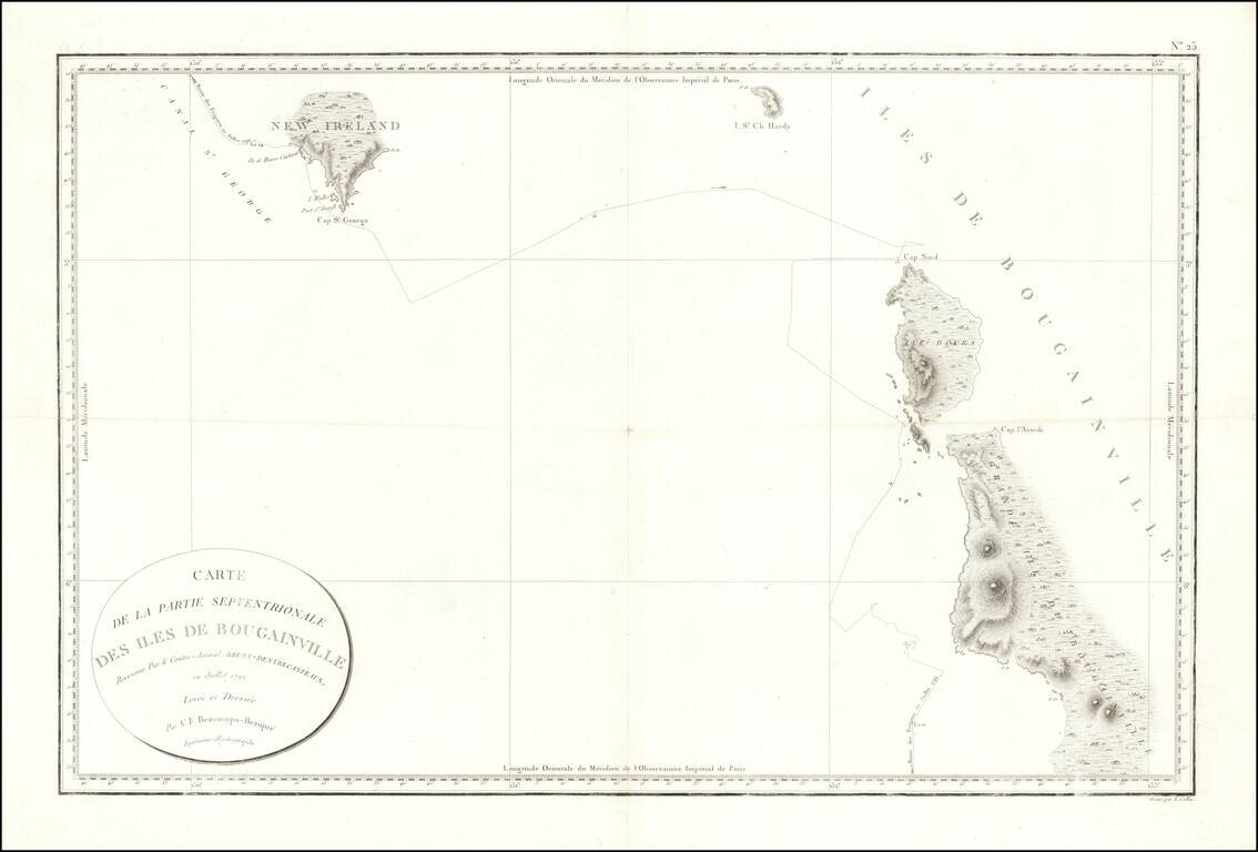
Fine early sea chart showin New Ireland and the Bougainville Islands. This chart spans from the southern tip of Latangai Island (here called New Ireland) to the northwest coastline of Bougainville Island. Bruni d'Entrecasteaux's route is traced and...