Map size in jpg-format: 27.5557MiB
Click to open in high resolution (open in new tab).
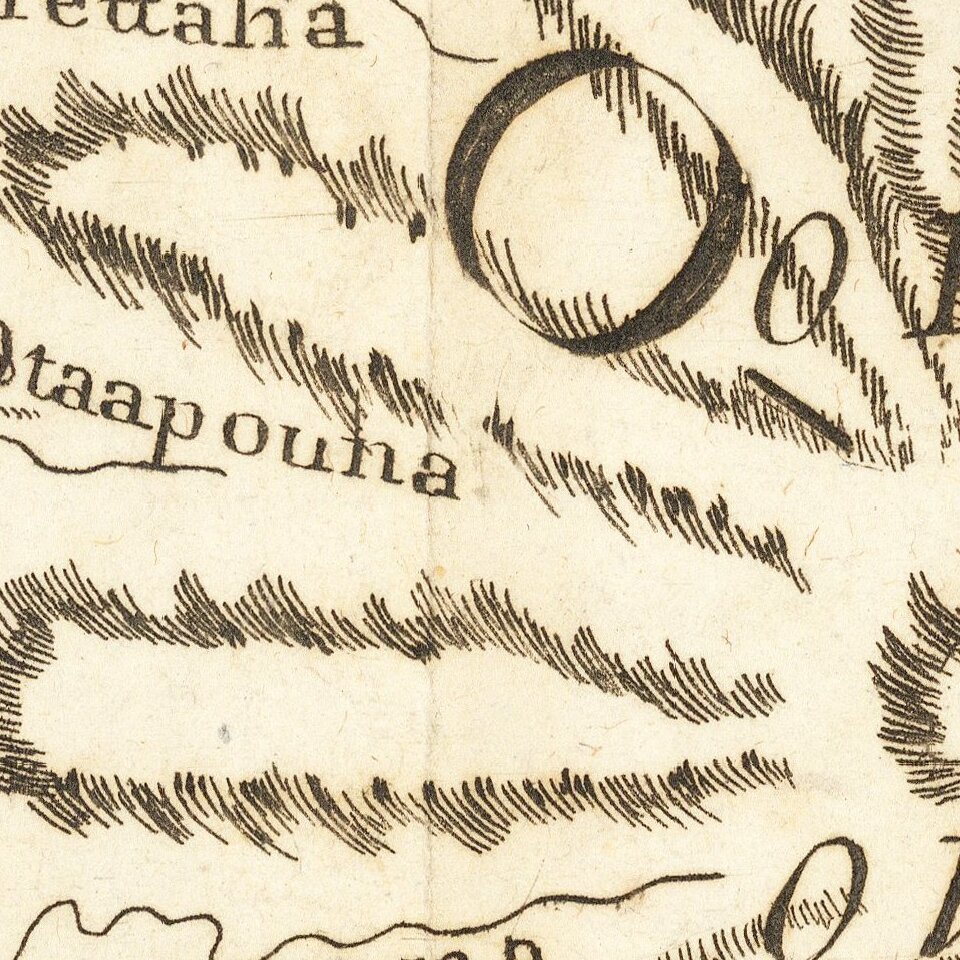
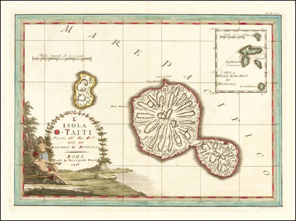
Decorative map of the island of Tahiti, published in Rome by Cassini, with a large inset map of the Marquesas Islands.
Cassini's map celebrates the visit to Tahiti by Captain James Cook, during Cook's scientific mission to observe the transit of the Venus across the sun in 1769, during which time he and his crew undertook the first scientific efforts to map and describe Tahiti.
Discovery of Tahiti
The first European expedition to site the island of Tahiti may have been as early as 1606, when Pedro Fernandes de Queirós, serving the Spanish Crown in an expedition to Terra Australis, sighted an inhabited island in February 1606, which he called Sagitaria. The second possible early European to arrive in Tahiti was Spanish explorer Juan Fernández in his expedition of 1576-1577.
The first well-documented European visit to Tahiti was led by lieutenant Samuel Wallis, who was circumnavigating the globe in HMS Dolphin. Wallis landed on Tahiti on June 17, 1767. Wallis named the island King George Island. The island was next visited by Louis-Antoine de Bougainville, completing the first French circumnavigation. The account Bougainville gave of his visit contributed to the creation of the myth of a Polynesian paradise and the noble savage.
In July 1768, Captain James Cook was commissioned by the Royal Society and on orders from the Lords Commissioners of the Admiralty to observe the transit of Venus across the sun, a phenomenon that would be visible from Tahiti on June 3, 1769. He arrived in Tahiti on board HMS Endeavour in April 1769 and remained on the island until August. He set up camp at Matavai Bay along with Charles Green and Daniel Solander. The length of stay enabled them to undertake for the first time real ethnographic and scientific observations of the island. Assisted by the botanist Joseph Banks, and by the artist Sydney Parkinson, Cook gathered valuable information on the fauna and flora, as well as the native society, language and customs.
The Viceroy of Peru, Manuel de Amat y Juniet, organized an expedition to settle and colonize Tahiti in 1772, as a last ditch effort to preserve Spain's Mare Clausum, the idea that the Spanish controlled the Pacific, following the Papal Bull which divided the undiscovered parts of the New World and Asia between the Portuguese and the Spanish. Amat sent two expeditions under the command of navigator Domingo de Bonechea, in 1772 and in 1774.
If you are a student, write to us in telegram: @antiquemaps and indicate what material you need and for what work you need a map in high detail. We are ready to provide material on special terms. For students only!