Map size in jpg-format: 1.2941MiB
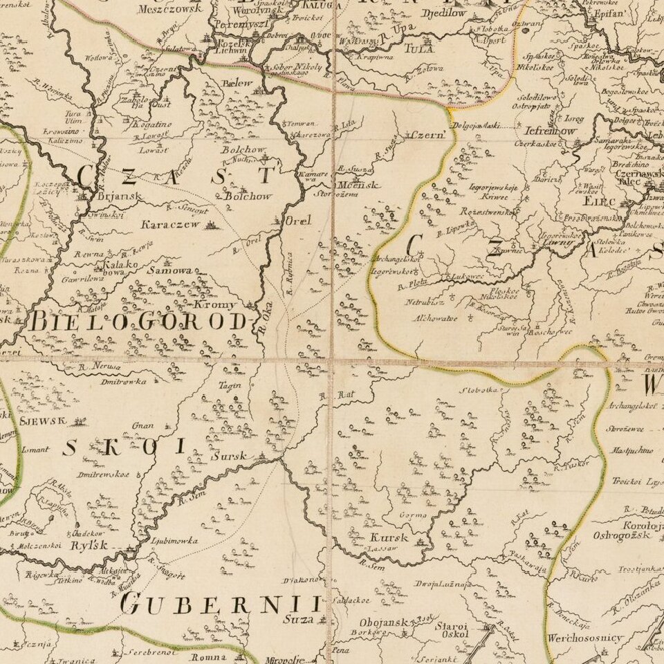
Click to open in high resolution (open in new tab).
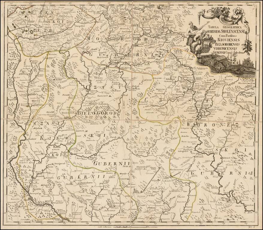
Fine separately issued example of JN De L'Isle's map extending from Moscow to the Ukraine, from the Atlas Russicus (Atlas Rossiiskoi).
The first atlas of Russia, published by the Academy of Sciences in St. Petersburg, expanding on the cartographic work done previously by Ivan K. Kirilov.
Postnikov notes
It brings together all the geographical discoveries of the early 18th century to give a fuller picture of the entire Empire than shown in the so-called Kirilov atlas. The maps were mostly based on instrumental surveys, geographical descriptions and maps compiled by the Petrine geologists and their successors.
If you are a student, write to us in telegram: @antiquemaps and indicate what material you need and for what work you need a map in high detail. We are ready to provide material on special terms. For students only!
![[Signed Political Satire Artwork] Vietnam ... Vietnam ... Vietnam ...](/map/small/68726.jpg)

