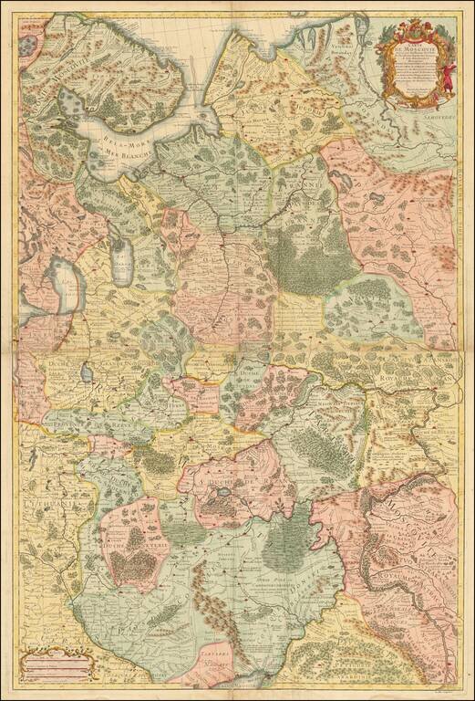
Important early map of Russia and the Ukraine, drawn by Guillaume De L'Isle, the leading French mapmaker at the beginning of the 18th Century.
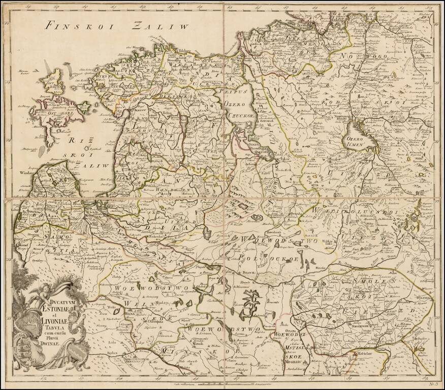
Rare separately issued map of Estonia, Latvia, Lithuania and contiguous parts of Russia and Belarus, published by the Akademiia nauk SSR (Russian Academy of Science) in St. Petersburg. The map extends south to Wilna and Minsk, showing remarkable...
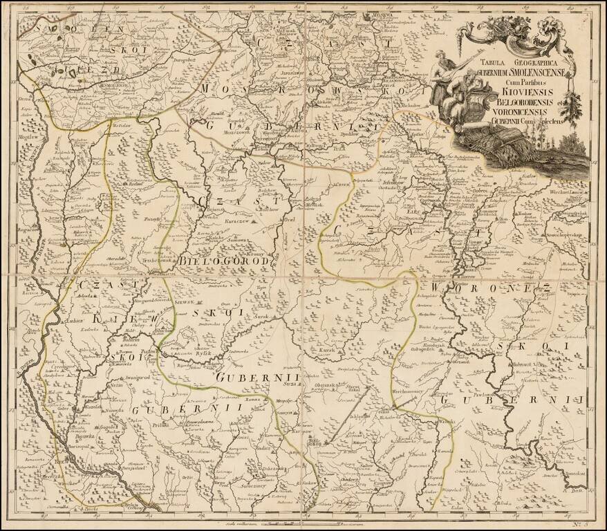
Fine separately issued example of JN De L'Isle's map extending from Moscow to the Ukraine, from the Atlas Russicus (Atlas Rossiiskoi). The first atlas of Russia, published by the Academy of Sciences in St. Petersburg, expanding on the cartographic...