Map size in jpg-format: 13.3158MiB
Click to open in high resolution (open in new tab).
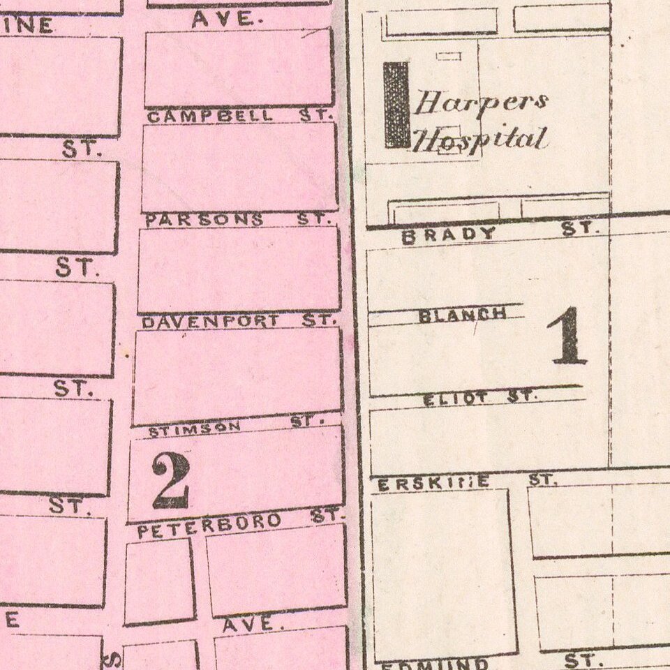
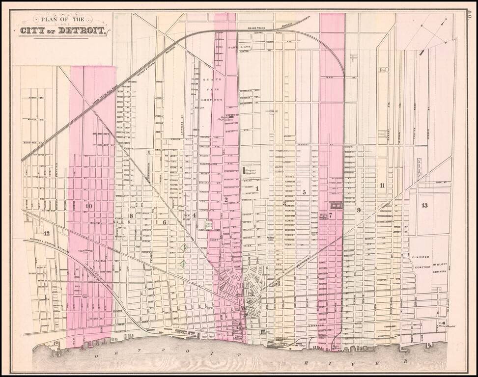
Detailed map of the city of Detroit, hand colored by wards. Shows the Michigan Central RR and Depot, Detroit & Milwaukee RR and Depot, Michigan Exchange, Biddle House, Post Office, Masonic Hall, Board of Trade, Water Works, Harper Hospital, Crawford Park, Grand Trunk RR, Monroe & Toledo RR, City Hall, Music Hall, Opera House and a number of other early features.
The first map of Detroit to appear in a commercial atlas.
Samuel Augustus Mitchell Jr. inherited the Mitchell Company from his father in 1860. For over thirty years, the company had specialized in the production of school atlases and wall maps of America. They were one of the pioneers on engraving on steel plates. In 1860, Samuel Jr. released the New General Atlas, which had been compiled in house and replaced a previous atlas by Tanner. The elder Mitchell died in 1868 and Samuel Jr. continued the business until the 1890s. At its height, the Mitchell Company employed 250 people and sold 400,000 publications annually.
If you are a student, write to us in telegram: @antiquemaps and indicate what material you need and for what work you need a map in high detail. We are ready to provide material on special terms. For students only!