Map size in jpg-format: 1.10902MiB
Click to open in high resolution (open in new tab).
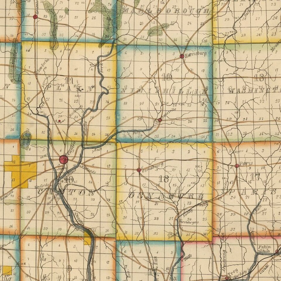
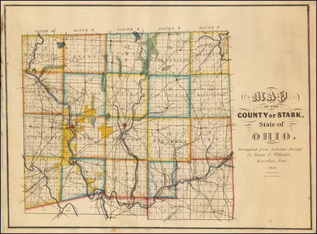
Rare Early Map of Stark County, Ohio -- One of the Earliest Obtainable Ohio County Maps.
James C. Whitaker was apparently a local map maker, who was then active in Massillon, Ohio.The following article appeared in the January 25, 1936 edition of the Massillon Evening Independent:
An old map of Massillon has been uncovered from a vault at "the city engineering department. Prepared in 1837 by James C. Whitaker, it differs greatly from today's map of Massillon.Stark County was named in honor of American Revolutionary War General John Stark. John Stark (1728 - M1822) was a general who served in the American Continental Army during the American Revolutionary War. He became widely known as the "Hero of Bennington" for his exemplary service at the Battle of Bennington in 1777. The county was formed in 1809.
We locate only a single example of the map, in the Ohio State University Collection.
If you are a student, write to us in telegram: @antiquemaps and indicate what material you need and for what work you need a map in high detail. We are ready to provide material on special terms. For students only!