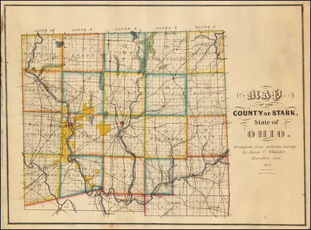
Rare Early Map of Stark County, Ohio -- One of the Earliest Obtainable Ohio County Maps. James C. Whitaker was apparently a local map maker, who was then active in Massillon, Ohio.The following article appeared in the January 25, 1936 edition of the...