Map size in jpg-format: 40.2374MiB
Click to open in high resolution (open in new tab).
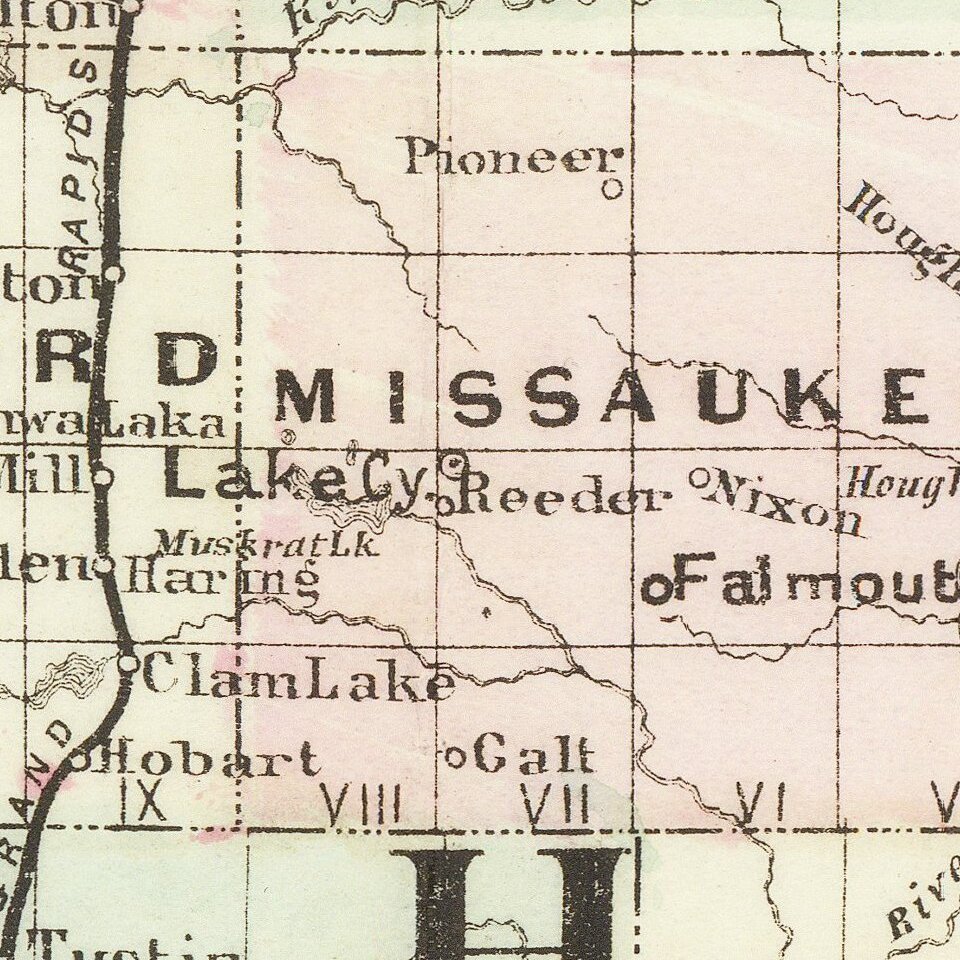
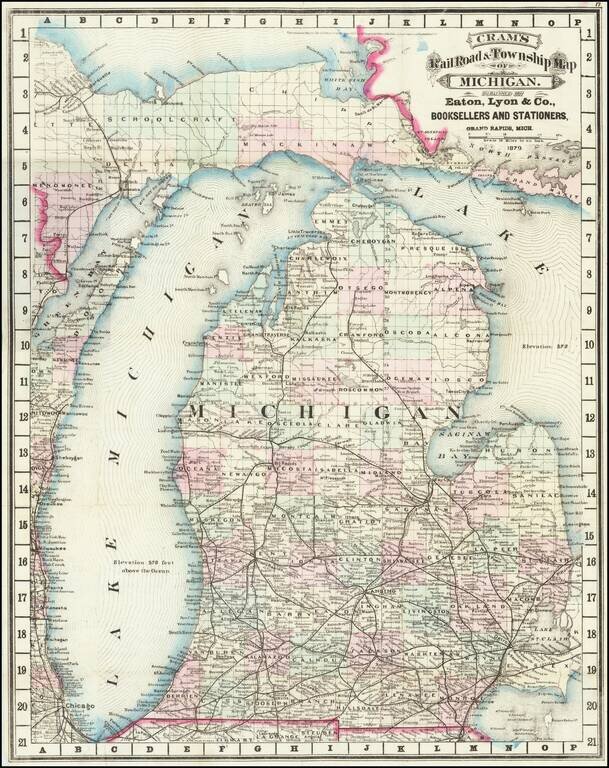
Cram's rare 1879 railroad map of Michigan, based on his first edition of 1875.
Michigan prospered after the Civil War, with the lumber, dairy, and railroad industries taking off. This map reflects the booming economy, as the railroads stretched across the state to service new centers of commerce and industry. From 1870 to 1890, the state's population doubled in size.
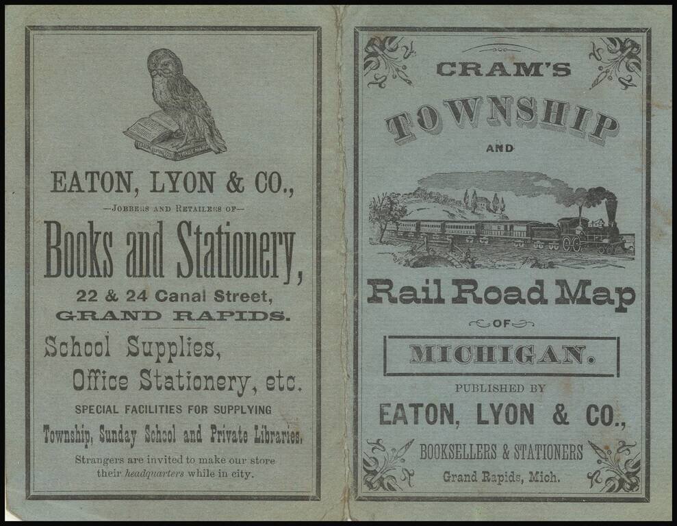
George Cram would become one of the most prolific atlas publishers of the late 19th and early 20th centuries. However, his earliest maps, issued in the late 1860s, were marvelous separately issued railroad maps. His success led to the publication of two editions of his now impossibly rare Standard American Atlas in 1875 and 1879, which included a number of Cram's rare separately issued railroad maps. Includes excellent detail showing counties, township surveys, towns, railroad lines, and other early details.
George F. Cram (1842-1928), or George Franklin Cram, was an American mapmaker and businessman. During the Civil War, Cram served under General William Tecumseh Sherman and participated in his March to the Sea. His letters of that time are now important sources for historians of the Civil War. In 1867, Cram and his uncle, Rufus Blanchard, began the company known by their names in Evanston, Illinois.
Two years later, Cram became sole proprietor and the company was henceforth known as George F. Cram Co. Specializing in atlases, Cram was one of the first American companies to publish a world atlas. One of their most famous products was the Unrivaled Atlas of the World, in print from the 1880s to the 1950s.
Cram died in 1928, seven years after he had merged the business with that of a customer, E.A. Peterson. The new company still bore Cram’s name. Four years later, the Cram Company began to make globes, a branch of the business that would continue until 2012, when the company ceased to operate. For the final several decades of the company’s existence it was controlled by the Douthit family, who sold it just before the company was shuttered.
If you are a student, write to us in telegram: @antiquemaps and indicate what material you need and for what work you need a map in high detail. We are ready to provide material on special terms. For students only!