Map size in jpg-format: 43.6918MiB
Click to open in high resolution (open in new tab).
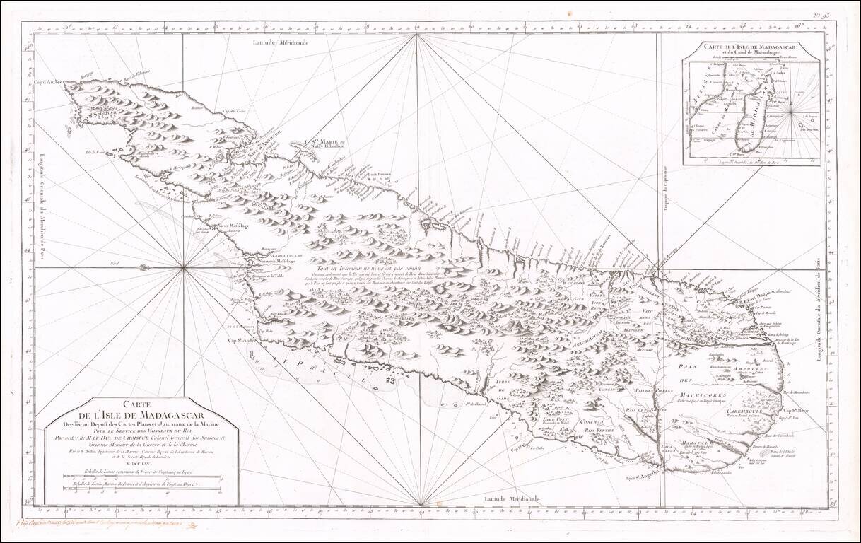
Fine early sea chart of the Madagascar, published by the French Hydrographical Department.
This chart was produced by Jacques-Nicolas Bellin (1703-1772), France's preeminent maritime cartographer and the Premier Ingénieur of the Depot de la Marine (the French Hydrographical Office), as well as the Official Hydrographer of the King Louis XV, appearing in volume 2 of Bellin's Hydrographie Francoise, one of the most important compilations of Sea Charts published in the 18th Century.
If you are a student, write to us in telegram: @antiquemaps and indicate what material you need and for what work you need a map in high detail. We are ready to provide material on special terms. For students only!

![[Ascension Island] The True Description of the Island of Ascention lyeing under 8 degrees on ye South syde of ye Equinoctiall lyne.](/map/small/69468.jpg)