
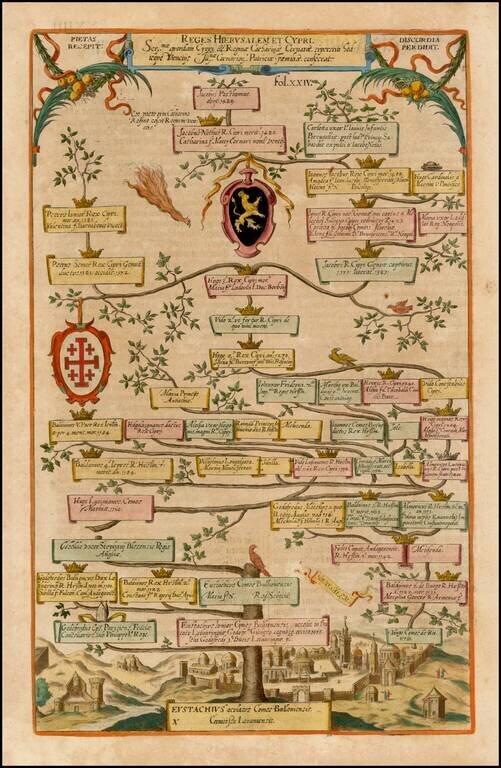
Decorative family tree showing the geneology, beginning with Eustachius, with the City of Jerusalem in the background.
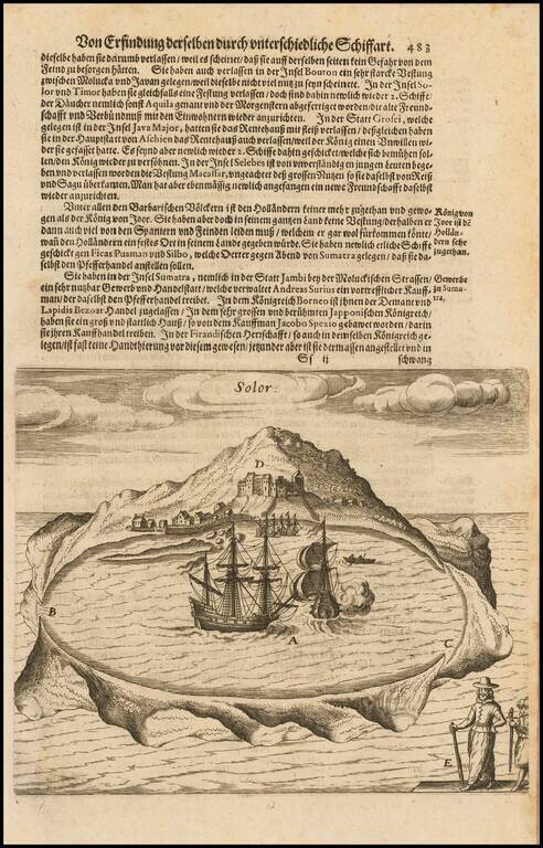
Early view of the Island of Solor in the Sunda Islands of Indonesia, from De Bry's Grand Voyages, an illustrated collection of accounts of the Americas which defined the early European picture of the New World. Around 1570, Theodorus de Bry, a...
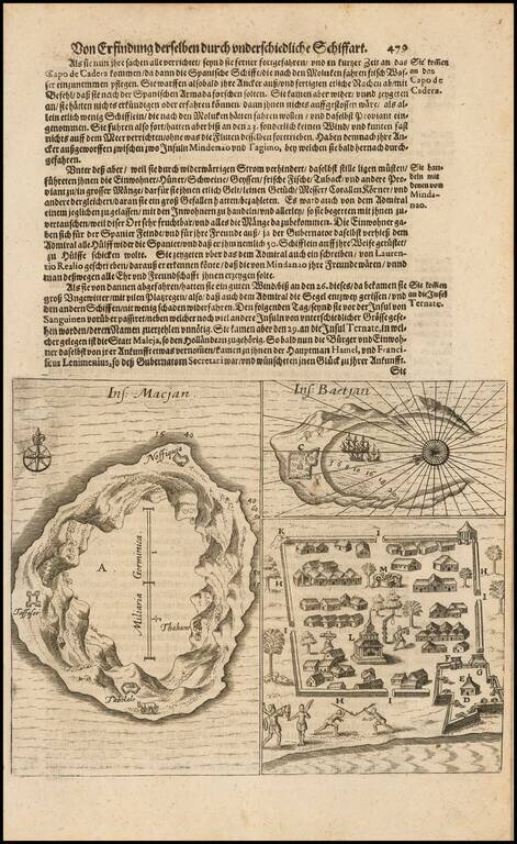
Early view of two islands in the Moluccas, from De Bry's Grand Voyages, an illustrated collection of accounts of the Americas which defined the early European picture of the New World. Around 1570, Theodorus de Bry, a Protestant, fled religious...
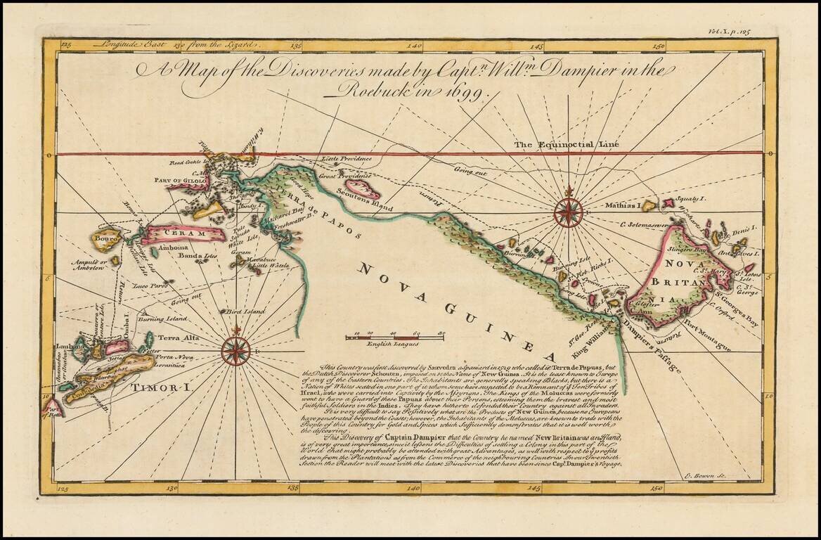
Detailed map of New Guinea as seen by William Dampier, first man to circumnavigate the world three times and first naturalist afloat This is a map of William Dampier's tracts aboard the Roebuck in 1699, included in the re-issue of John Harris'...
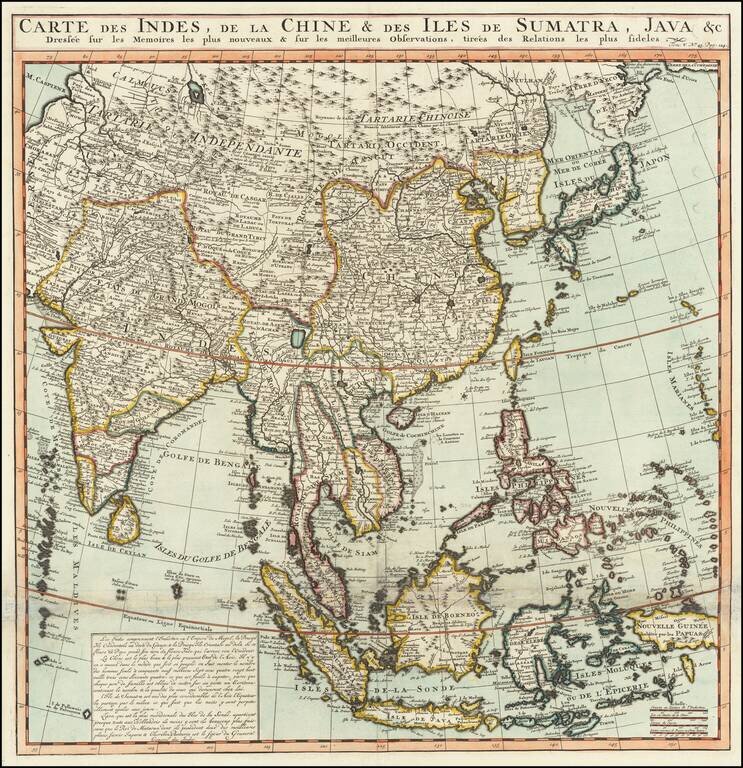
Names the Sea of Korea A large and very detailed map of East Asia, from India and the Indian Ocean in the west to Japan, Korea, and the Philippines. Place names are extensive on this map, both on land and at sea. French text at the bottom describes...