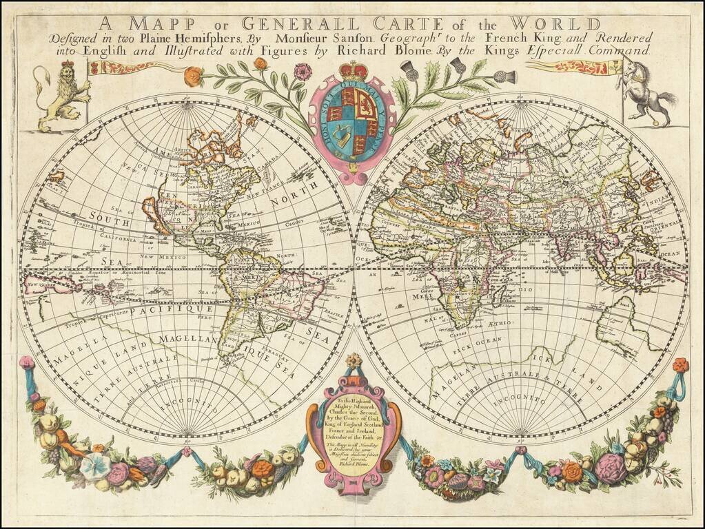
One of the Earliest Obtainable Large Format English World Maps. Old color example of Richard Blome's world map, embellished with decorative features and a dedication to Charles II. Beach is prominently mentioned in Australia, a marvelous reference...
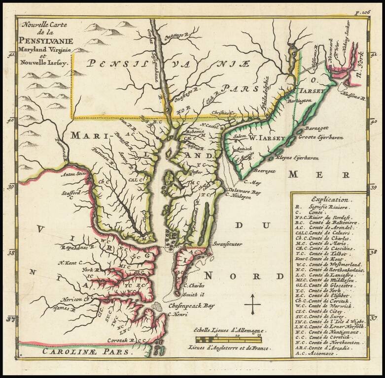
Early map of the region from New York City to Cape Henry, centered on the Cheaspeake and Delaware, from Abraham Wolfgang's L'Amerique Angloise, ou Description des Isles et Terres dur Roi Angleterre, dans L'Amerique, published in Amsterdam in 1688. The...
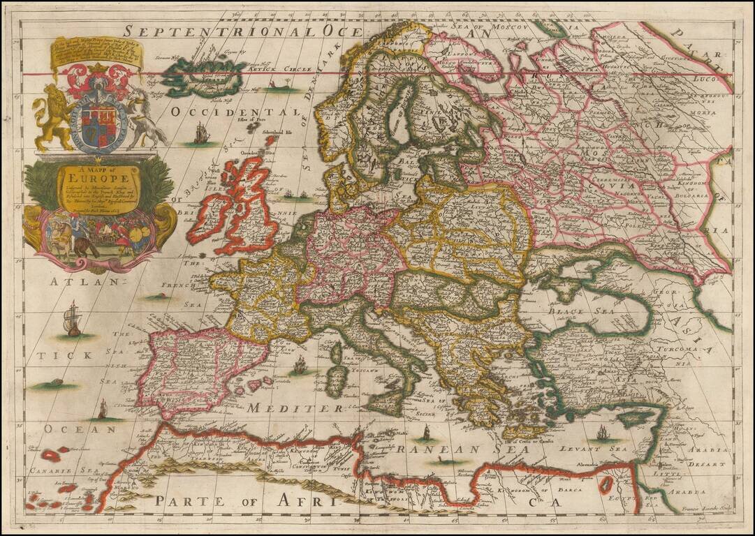
Fine Old Color Example of Richard Blome's Map of Europe Old color example of Blome's scarce map of Europe, the earliest folio size map of Europe to be engraved and printed in England. The map demonstrates the naïve engraving style characteristic of...
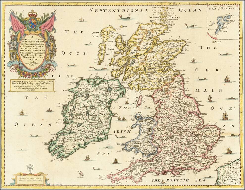
Gorgeous old color example of Richard Blome's map of the British Isles, which appeared in the first world atlas to be printed and engraved in England. The map demonstrates the naïve engraving style characteristic of 17th Century English engravers,...
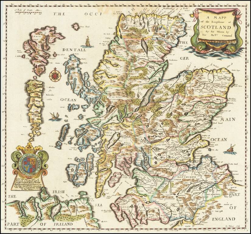
Finely executed map of Scotland, published by Richard Blome. This important early map of Scotland appeared in the first edition Blome's of 'Britannia', his series of county maps. The map includes an elaborate cartouche, coat of arms, and a dedication...
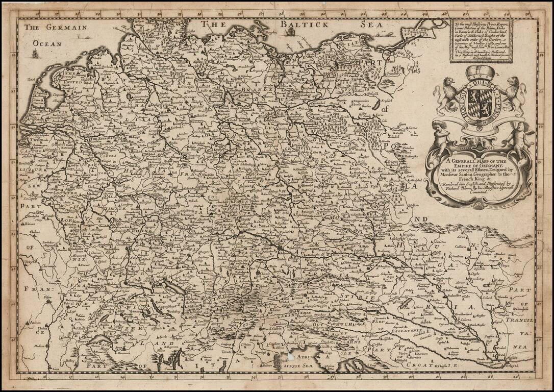
A striking dark impression of Richard Blome's scarce map of the German Empire, the earliest folio sized map of the region to be engraved in England. The map features an elaborate heraldic cartouche and a dedication to Prince Rupert, Count Palatine of...
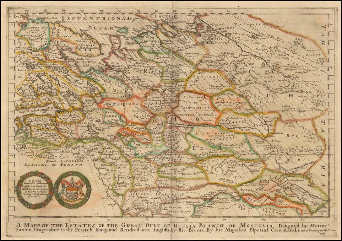
One of the Earliest Maps of Russia published in England. Old color example of Richard Blome's scarce map of Russia, the earliest folio sized map of the region to be engraved in England. The map reaches to the Caspian Sea and Ukraine in the South....
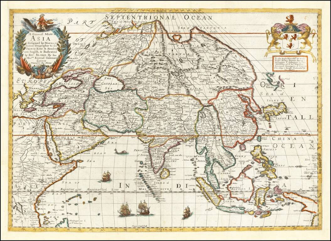
A striking dark impression of this scarce map of Asia, the earliest folio-size map of Asia to be engraved and printed in England. The map demonstrates the naïve engraving style characteristic of 17th Century English engravers and features an...
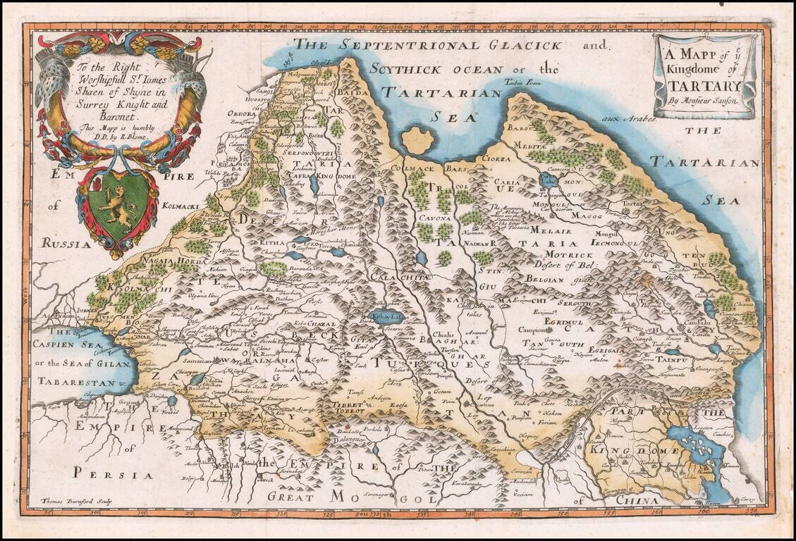
Rare Late State of the First Map of Tartaria Engraved In England. Nicely colored example of this scarce map of Tartaria. The present example is from a very late edition, where the title, dedication and coat of arms have been completely re-engraved....
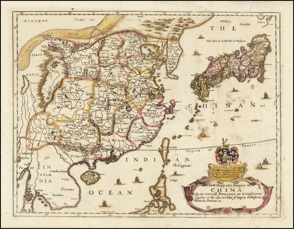
Rare Second State of Richard Blome's Map of China. Finely colored example of Richard Blome's scarce early map of China, with coat of arms and dedication to the London Lawyer Thomas Robinson. Unlike most of Blome's maps, the present map is based upon...
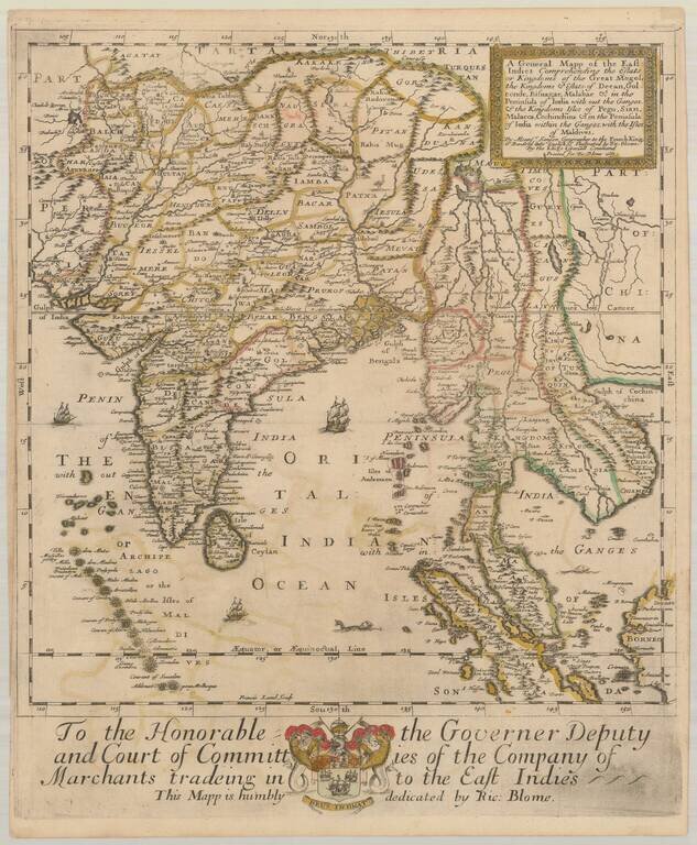
Old color example of the first state of Richard Blome's scarce map of India and Southeast Asia, the earliest folio sized map of the region to be engraved in England. While Speed's atlas was published prior to Blome, Speed's plates were engraved and...
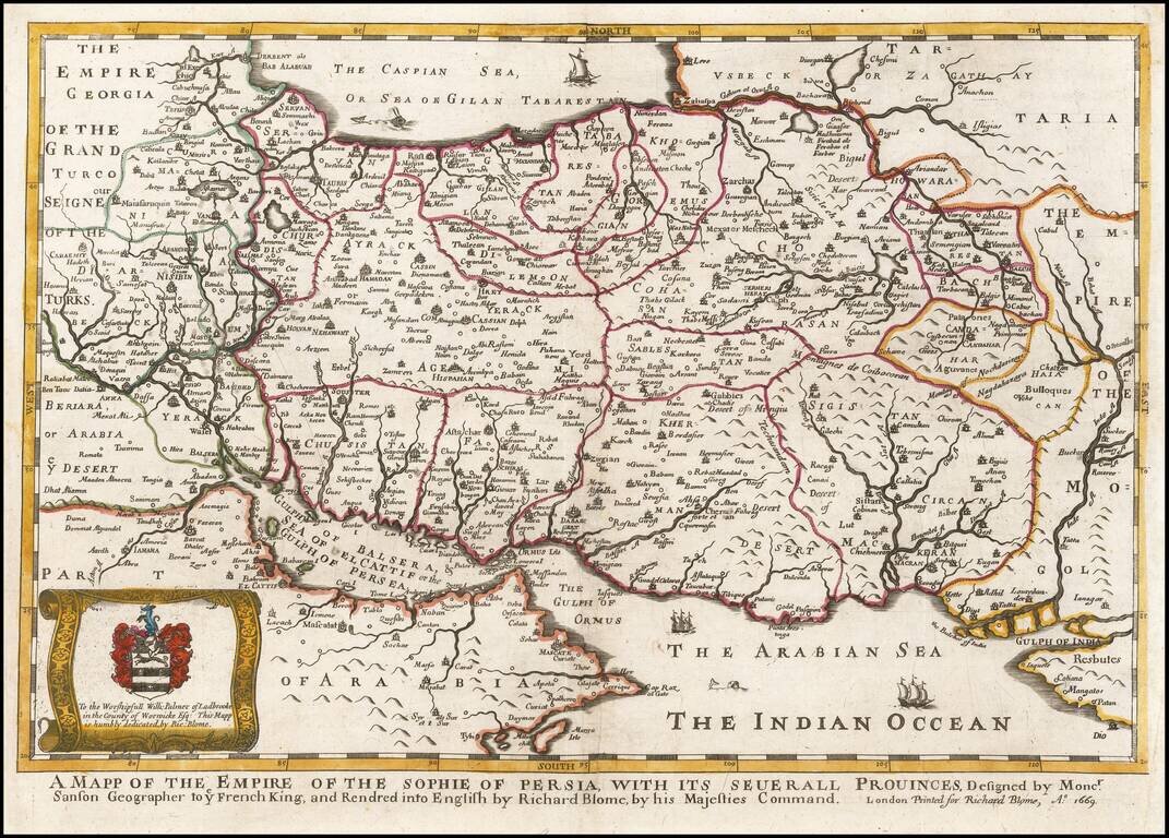
A striking dark impression of Richard Blome's scarce map of Persia, the earliest folio sized map of the region to be engraved in England. The map demonstrates the naïve engraving style characteristic of 17th century English engravers, and features an...